
Les Oriols (trail route no. 9)

Key facts
- Distance
- 4.9 km
- Ascent
- +1,160 m
- Descent
- −0 m
- Estimated time
- 1 hr 40
- trail running
- Difficulty
- Difficult
- official rating
- Route
- Out and back
- same way back
Profile and gradient
- under 10%
- 10 to 20%
- over 20%
Gradient along the route: 0.5 km under 10%, 1.1 km at 10 to 20% and 3.3 km over 20%. Elevation from 1,230 m to 2,386 m over 4.9 km.
Description
This loops offers insights into rural life as well as astonishing views, and you can also take in high-alpine landscapes! This trail offers not only a magnificent view over the majestic Mont Pelvoux, but also a discovery of the high-mountain hamlets where a pastoral way of life continues to this day. Was that a high-pitched whistle? Keep your eyes peeled, the iconic marmot must be nearby! Starting from the hamlet of Sainte-Marguerite, head uphill towards L'Oriol de Sainte-Marguerite. - At the intersection, turn left and carry on along the track until you come to L'Oriol de Sainte-Marguerite. - At L'Oriol de Sainte-Marguerite, after the chapel, take the track on the right and continue straight on until you come to L'Oriol de Queyrières. - Here, take the path on the right which takes you to a short section of sharp scree, which you need to cross. - Take the path on the left to drop downhill through a forest to the hamlet of Sainte-Marguerite. - Take the track on the right to continue the descent and then back to your starting point.
Difficulty
Official rating: difficult, by Parc national des Écrins.
Before you go
- Before setting off, it is very important to check the opening periods for this route on the website: https://stationdetrail.com/fr/stations/le-pays-des-ecrins/parcours
- Share your photographs on social networks with #stationdetrailecrins
- Check weather conditions before setting off.
- Rescue services contact details: Secours Montagne (Mountain Rescue): +33 (0)4 92 22 22 22 or 112
- Show consideration for the work of farmers, livestock keepers and owners
- Close all gates behind you
- Take your litter home
- Do not take shortcuts across pastureland
- The trail routes are also suitable for walking
Getting there
Start: Hameau de Sainte-Marguerite, Saint-Martin-de-Queyrières, Saint-Martin-de-Queyrières (05).
Sources
- Track: Parc national des Écrins, Licence Ouverte 2.0, Licence Ouverte 2.0 (Etalab) (destination.ecrins-parcnational.fr/trek/959462-Kilometre-Vertical---Saint-Martin-de-Queyrieres). Time estimated by GPX Path with the Mac app rule, breaks not included.
- Official elevation gain: 1,160 m, Parc national des Écrins
Nearby tracks

 © OpenStreetMap, SRTM · OpenTopoMap (CC-BY-SA)
Trail N°09 - Bois de France
Écrins, L'Argentière-la-Bessée (05) · LoopOfficial rating by Parc national des Écrins © OpenStreetMap, SRTM · OpenTopoMap (CC-BY-SA)
Kilomètre Vertical - L'Argentière-la-Bessée
Écrins, L'Argentière-la-Bessée (05) · Out and backOfficial rating by Parc national des Écrins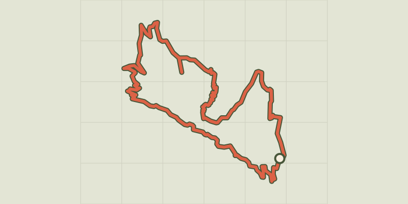 © OpenStreetMap, SRTM · OpenTopoMap (CC-BY-SA)
Les Têtes via La Pignée (trail route no. 23)
Écrins, L'Argentière-la-Bessée (05) · LoopOfficial rating by Parc national des Écrins © OpenStreetMap, SRTM · OpenTopoMap (CC-BY-SA)
Around the mines (trail route no. 22)
Écrins, L'Argentière-la-Bessée (05) · LoopOfficial rating by Parc national des Écrins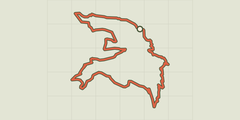 © OpenStreetMap, SRTM · OpenTopoMap (CC-BY-SA)
The Col de la Pousterle (trail route no. 5)
Écrins, Les Vigneaux (05) · LoopOfficial rating by Parc national des Écrins © OpenStreetMap, SRTM · OpenTopoMap (CC-BY-SA)
The Collet de la Salcette (trail route no. 10)
Écrins, Les Vigneaux (05) · LoopOfficial rating by Parc national des Écrins