
Les Tenailles (trail route no. 12)

Key facts
- Distance
- 24.3 km
- Ascent
- +1,486 m
- Descent
- −1,387 m
- Estimated time
- 3 hr 50
- trail running
- Difficulty
- Moderate
- official rating
- Route
- Loop
- back to the start
Profile and gradient
- under 10%
- 10 to 20%
- over 20%
Gradient along the route: 13.3 km under 10%, 7.5 km at 10 to 20% and 3.5 km over 20%. Elevation from 1,159 m to 2,314 m over 24.3 km.
Description
Climb up to a high pass, follow the banks of mountain streams, discover Bouchier, be stunned by panoramic views A rich and full itinerary to admire and discover the Pays des Écrins! This challenging trail is popular because of the diversity of its tracks: narrow steep paths, alpine meadow plain, forest road, balcony path, earth track, all supplemented by beautiful panoramic vistas like the view from the Croix de la Salcette! Starting from the campsite, head towards the village of Prelles on the road running alongside the railway line. - Go past the railway line and the N94 to reach Prelles (exercise caution: a dangerous and busy road) and then carry on through the village. Follow signs for Sachas via the D336. - At the bend, keep an eye out for a path on the right. Take this and follow the banks of the Sachas mountain stream. - Cross the mountain stream and carry on towards Ratière. The path crosses the Pra Piouzéou mountain stream and runs through Les Banchets. Skirt around Ratière. - Take the path on the right and carry on until you reach the Col de la Trancoulette. At the pass, turn left to start the descent. - Turn left to continue the descent and skirt around Le Clot des Amandiers. - At the mountain stream La Trancoulette, continue right to the Croix de la Salcette, below Les Tenailles de Montbrison. Carry on towards the hamlet of Bouchier, and then drop back down to Prelles and back to your starting point.
Difficulty
Official rating: moderate, by Parc national des Écrins.
Before you go
- The N94 is a dangerous and busy road, take care when crossing it.
- Before setting off, it is very important to check the opening periods for this route on the website: https://stationdetrail.com/fr/stations/le-pays-des-ecrins/parcours
- Share your photographs on social networks with #stationdetrailecrins
- Check weather conditions before setting off.
- Rescue services contact details: Secours Montagne (Mountain Rescue): +33 (0)4 92 22 22 22 or 112
- Show consideration for the work of farmers, livestock keepers and owners
- Close all gates behind you
- Take your litter home
- Do not take shortcuts across pastureland
- The trail routes are also suitable for walking
Getting there
Start: Camping de l’Iscle de Prelles, Saint-Martin-de-Queyrières, Saint-Martin-de-Queyrières (05).
Sources
- Track: Parc national des Écrins, Licence Ouverte 2.0, Licence Ouverte 2.0 (Etalab) (destination.ecrins-parcnational.fr/trek/959464-Trail-N12---Les-Tenailles). Time estimated by GPX Path with the Mac app rule, breaks not included.
- Official elevation gain: 1,486 m, Parc national des Écrins
Nearby tracks

 © OpenStreetMap, SRTM · OpenTopoMap (CC-BY-SA)
The tour of the Rocher Baron (trail route no. 4)
Provence-Alpes-Côte d'Azur, Saint-Martin-de-Queyrières (05) · LoopOfficial rating by Parc national des Écrins © OpenStreetMap, SRTM · OpenTopoMap (CC-BY-SA)
The Pays des Écrins Super Noir (trail no. 15)
Écrins, Saint-Martin-de-Queyrières (05) · Point to pointOfficial rating by Parc national des Écrins © OpenStreetMap, SRTM · OpenTopoMap (CC-BY-SA)
Boucle des Partias
Provence-Alpes-Côte d'Azur, Puy-Saint-André (05) · LoopOfficial rating by Parc national des Écrins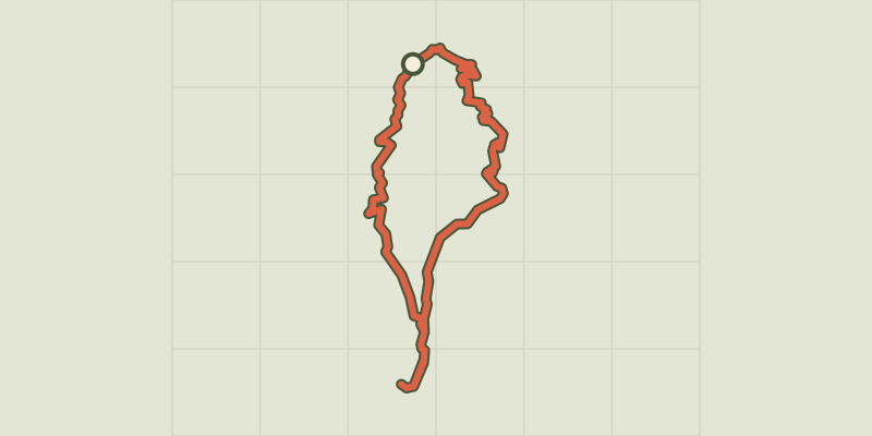 © OpenStreetMap, SRTM · OpenTopoMap (CC-BY-SA)
Boucle de Plan Vallon
Provence-Alpes-Côte d'Azur, Villar-Saint-Pancrace (05) · LoopOfficial rating by Parc national des Écrins © OpenStreetMap, SRTM · OpenTopoMap (CC-BY-SA)
La grande boucle du fort de la Croix de Bretagne
Provence-Alpes-Côte d'Azur, Villar-Saint-Pancrace (05) · LoopOfficial rating by Parc national des Écrins © OpenStreetMap, SRTM · OpenTopoMap (CC-BY-SA)
KM vertical de Notre Dame des Neiges par les oratoires
Provence-Alpes-Côte d'Azur, Briançon (05) · Out and backOfficial rating by Parc national des Écrins