
The tour of the Rocher Baron (trail route no. 4)

Key facts
- Distance
- 14.9 km
- Ascent
- +581 m
- Descent
- −510 m
- Estimated time
- 2 hr
- trail running
- Difficulty
- Easy
- official rating
- Route
- Loop
- back to the start
Profile and gradient
- under 10%
- 10 to 20%
- over 20%
Gradient along the route: 10.8 km under 10% and 4.1 km at 10 to 20%. Elevation from 1,159 m to 1,589 m over 14.9 km.
Description
A trail leading to the plateau of the Rocher Baron where an unrivalled view over one of the main climbing sites in the Pays de Écrins awaits you.  Listen to the soft calls of the bullfinch, watch the crickets which come in every colour, feel the undulations of the ripple marks, breathe in the scent of the conifers and enjoy watching the exploits of the climbers on the Rocher Baron. The tour of the Rocher Baron will awaken your senses! Starting from the campsite, head towards the hamlet of Le Villaret and go through it. - After the hamlet, take the path on the left which leads to the plateau of the Rocher Baron. - At the intersection at the Rocher Baron, fork right to start the descent through stony terrain. - When you come to the Ressourcerie la Miraille reclamation and repurposing centre, skirt around it. At the give-way sign, head left towards the D36C. Then cross the bridge and at the roundabout head towards Le Villaret. Carry on along the D36 until you come to the hamlet of Le Villaret, then head back to the campsite following your outward route in reverse.
Difficulty
Official rating: easy, by Parc national des Écrins.
Before you go
- Before setting off, it is very important to check the opening periods for this route on the website: https://stationdetrail.com/fr/stations/le-pays-des-ecrins/parcours
- Share your photographs on social networks with #stationdetrailecrins
- Check weather conditions before setting off.
- Rescue services contact details: Secours Montagne (Mountain Rescue): +33 (0)4 92 22 22 22 or 112
- Show consideration for the work of farmers, livestock keepers and owners
- Close all gates behind you
- Take your litter home
- Do not take shortcuts across pastureland
- The trail routes are also suitable for walking
Getting there
Start: Camping de l’Iscle de Prelles, Saint-Martin-de-Queyrières, Saint-Martin-de-Queyrières (05).
Sources
- Track: Parc national des Écrins, Licence Ouverte 2.0, Licence Ouverte 2.0 (Etalab) (destination.ecrins-parcnational.fr/trek/959458-Trail-N04---Tour-des-Clots). Time estimated by GPX Path with the Mac app rule, breaks not included.
- Official elevation gain: 581 m, Parc national des Écrins
Nearby tracks

 © OpenStreetMap, SRTM · OpenTopoMap (CC-BY-SA)
Les Tenailles (trail route no. 12)
Provence-Alpes-Côte d'Azur, Saint-Martin-de-Queyrières (05) · LoopOfficial rating by Parc national des Écrins © OpenStreetMap, SRTM · OpenTopoMap (CC-BY-SA)
The Pays des Écrins Super Noir (trail no. 15)
Écrins, Saint-Martin-de-Queyrières (05) · Point to pointOfficial rating by Parc national des Écrins © OpenStreetMap, SRTM · OpenTopoMap (CC-BY-SA)
Boucle des Partias
Provence-Alpes-Côte d'Azur, Puy-Saint-André (05) · LoopOfficial rating by Parc national des Écrins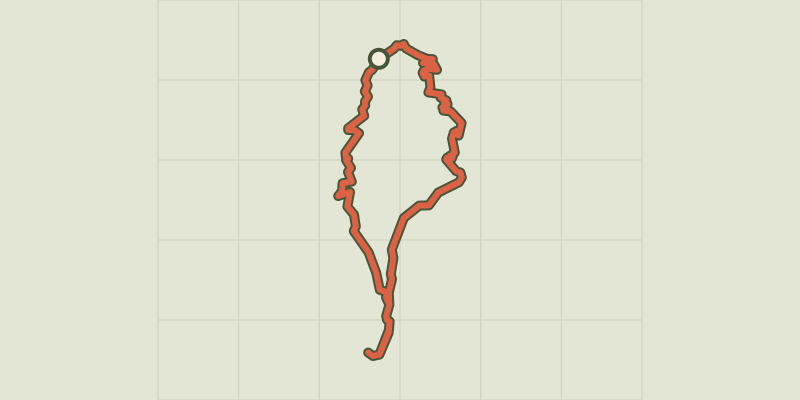 © OpenStreetMap, SRTM · OpenTopoMap (CC-BY-SA)
Boucle de Plan Vallon
Provence-Alpes-Côte d'Azur, Villar-Saint-Pancrace (05) · LoopOfficial rating by Parc national des Écrins © OpenStreetMap, SRTM · OpenTopoMap (CC-BY-SA)
La grande boucle du fort de la Croix de Bretagne
Provence-Alpes-Côte d'Azur, Villar-Saint-Pancrace (05) · LoopOfficial rating by Parc national des Écrins © OpenStreetMap, SRTM · OpenTopoMap (CC-BY-SA)
KM vertical de Notre Dame des Neiges par les oratoires
Provence-Alpes-Côte d'Azur, Briançon (05) · Out and backOfficial rating by Parc national des Écrins