
Stroll of the Petit Calan

Key facts
- Distance
- 8.1 km
- Ascent
- +156 m
- Descent
- −142 m
- Estimated time
- 2 hr 05
- hiking
- Difficulty
- Easy
- official rating
- Route
- Loop
- back to the start
Profile and gradient
- under 10%
- 10 to 20%
- over 20%
Gradient along the route: 7.9 km under 10% and 0.2 km at 10 to 20%. Elevation from 99 m to 239 m over 8.1 km.
Description
On the heights of Eygalières, go through the GR®6 between the Calans and admire breathtaking views of the Alpilles. "Au pied des Calans”, emblematic crests of the Alpilles, the old quarry of the Mas de Badon, reconverted in Mediterranean Arboretum, invites to stroll on the heights of Eygalières. The discovery of the flora and landscape of the Alpilles, with viewpoints up to the Mont Ventoux, is an opportunity to walk on part of GRS6 Grande Randonnee path that crosses the massif. " Jason Gaydier, RNP of Alpilles. From the parking, follow the D24b towards the city center. 1- At the crossroads, turn right. Follow the red and white markings until the end of the hike. Then leave the town hall on the left. 50 m further, leave the Monument to the dead on the left and continue along the road. 2- Turn left on the path Ludovic Souvestre, and take the first right. Cross the locality of the 4 vents and continue on the path. 3- At the Badon Arboretum (possibility to climb to the point of view), go around it and follow the path. 200 m after the barrier, take the little rocky path. 4- At the end of the track, turn right, leaving the Gros Calan behind. Continue on the forest path to the cistern. 5- At the height of the tank, turn right on the slope which goes down gently. After the bend, continue on the left path at the next junction. Follow this path along the Petit Calan then continue in the forest. 6- Cross the barrier and take the small path on the right that runs along the road for about 700 m. 7- Turn right at the crossroads, and continue on the path. Go past the well and continue on the main road to the D24b. Cross the departmental road and continue on Mario Prassinos road. Go behind the cemetery and enter Eygalières. 8- At the top of the small hill, turn right. Possibility to fork then directly to the parking lot or to walk in the village.
Difficulty
Official rating: easy, by Parcs naturels régionaux de Provence-Alpes-Côte d'Azur.
Before you go
- Follow the signs for the Grande Randonnée (GR®6) route throughout the walk.
- For your safety, and for the preservation of forest areas, access to natural areas is regulated from June to September. Inquire during the summer period on 08 11 20 13 13 (price of a local call) or on www.bouches-du-rhone.pref.gouv.fr Download the application for free MYPROVENCE ENVIE DE BALADE (available on Appstore and Android Market).
Getting there
Start: Parking du stade, Eygalières, Eygalières (13).
Sources
- Track: Parcs naturels régionaux de Provence-Alpes-Côte d'Azur (Chemins des Parcs), Licence Ouverte 2.0, Licence Ouverte 2.0 (Etalab) (www.cheminsdesparcs.fr/trek/47928-EYGALIERES---Balade-du-Petit-Calan). Time estimated by GPX Path with the Mac app rule, breaks not included.
- Official elevation gain: 156 m, Parcs naturels régionaux de Provence-Alpes-Côte d'Azur
Nearby tracks

 © OpenStreetMap, SRTM · OpenTopoMap (CC-BY-SA)
Petit et Gros Calans
Provence-Alpes-Côte d'Azur, Eygalières (13) · LoopOfficial rating by Parcs naturels régionaux de Provence-Alpes-Côte d'Azur © OpenStreetMap, SRTM · OpenTopoMap (CC-BY-SA)
Eygalieres - Du Contras à la chapelle Saint-Sixte
Provence-Alpes-Côte d'Azur, Eygalières (13) · LoopOfficial rating by Parcs naturels régionaux de Provence-Alpes-Côte d'Azur © OpenStreetMap, SRTM · OpenTopoMap (CC-BY-SA)
A Mediterranean bird festival
Provence-Alpes-Côte d'Azur, Aureille (13) · Out and backOfficial rating by Parcs naturels régionaux de Provence-Alpes-Côte d'Azur © OpenStreetMap, SRTM · OpenTopoMap (CC-BY-SA)
La Vallongue
Provence-Alpes-Côte d'Azur, Aureille (13) · LoopOfficial rating by Parcs naturels régionaux de Provence-Alpes-Côte d'Azur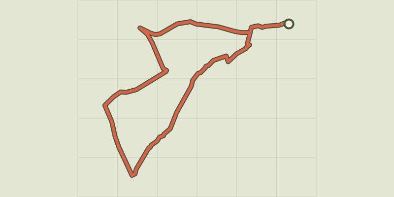 © OpenStreetMap, SRTM · OpenTopoMap (CC-BY-SA)
Orgon - La boucle de Valdition
Provence-Alpes-Côte d'Azur, Orgon (13) · LoopOfficial rating by Parcs naturels régionaux de Provence-Alpes-Côte d'Azur © OpenStreetMap, SRTM · OpenTopoMap (CC-BY-SA)
La Pierre trail
Provence-Alpes-Côte d'Azur, Orgon (13) · LoopOfficial rating by Parcs naturels régionaux de Provence-Alpes-Côte d'Azur