
A Mediterranean bird festival

Key facts
- Distance
- 13.2 km
- Ascent
- +189 m
- Descent
- −144 m
- Estimated time
- 3 hr 15
- hiking
- Difficulty
- Moderate
- official rating
- Route
- Out and back
- same way back
Profile and gradient
- under 10%
- 10 to 20%
- over 20%
Gradient along the route: 13.2 km under 10%. Elevation from 106 m to 169 m over 13.2 km.
Description
An easy walking path around the Opies during which you will easily see all the rare or typical species of the Alpilles. "I love to walk on the old transhumance route that connects the Alpilles to Crau. The simplicity and beauty of the landscape seem to amaze me every time, and here we can find an extraordinary biodiversity. All the beauty and richness of the site are seen through the beautiful light of a spring morning with the concert of bird songs and watching rare species: Black-eared wheatear, Southern grey hrike, Bonelli's Eagle ... " Lisbeth Zechner, project manager of LIFE at the RNP of the Alpilles. Arriving at the cemetery, cross the gate to take the GR6 marked trail leading away from the village and follow it. Continue straight ahead, leaving the various small paths aside at multiple intersections Stay on this trail that continues to the foothills of the mountain on the left. Arriving to the sheep pen, go straight for 500 m. 1, Pass the gate which cuts the road and at the crossroads, follow the second marked trail PR (yellow marking) which starts on the left. 400 metres further, turn on the right to go remain on the marked trail going up the hill. 2, Reaching to the gate, turn to the right, leaving the private property and turn left, to go down the path leading to the domaine du vallon des Glauges. 3, Reaching to the domaine, continue straight on the road the tour of the wine estate. 4, At the intersection, turn right and continue for 1.5 km on the gravel path between the vineyards, visible on the right side of the cliff overlooking on the left. 5, Arriving back on the road, turn right and return to the domaine. (Traffic!) 3, Turn left at the intersection represented by the reference point number 3 to start the route back.
Difficulty
Official rating: moderate, by Parcs naturels régionaux de Provence-Alpes-Côte d'Azur.
Before you go
- Very little shade on the trail, make sure to take a cap.Come rather early in the morning (7.00) or late afternoon (18.00) to enjoy the tranquillity of the area and to see and hear the birds sing. Bring a pair of binoculars..
Getting there
Start: Parking du cimetière, Aureille, Aureille (13).
Sources
- Track: Parcs naturels régionaux de Provence-Alpes-Côte d'Azur (Chemins des Parcs), Licence Ouverte 2.0, Licence Ouverte 2.0 (Etalab) (www.cheminsdesparcs.fr/trek/39855-AUREILLE---Un-festival-d-oiseaux-mediterraneens). Time estimated by GPX Path with the Mac app rule, breaks not included.
- Official elevation gain: 189 m, Parcs naturels régionaux de Provence-Alpes-Côte d'Azur
Nearby tracks

 © OpenStreetMap, SRTM · OpenTopoMap (CC-BY-SA)
La Vallongue
Provence-Alpes-Côte d'Azur, Aureille (13) · LoopOfficial rating by Parcs naturels régionaux de Provence-Alpes-Côte d'Azur © OpenStreetMap, SRTM · OpenTopoMap (CC-BY-SA)
Vallon des Glauges
Provence-Alpes-Côte d'Azur, Eyguières (13) · LoopOfficial rating by Parcs naturels régionaux de Provence-Alpes-Côte d'Azur © OpenStreetMap, SRTM · OpenTopoMap (CC-BY-SA)
Saint Martin de Crau - Circuit of Garrigue
Provence-Alpes-Côte d'Azur, Saint-Martin-de-Crau (13) · LoopOfficial rating by Parcs naturels régionaux de Provence-Alpes-Côte d'Azur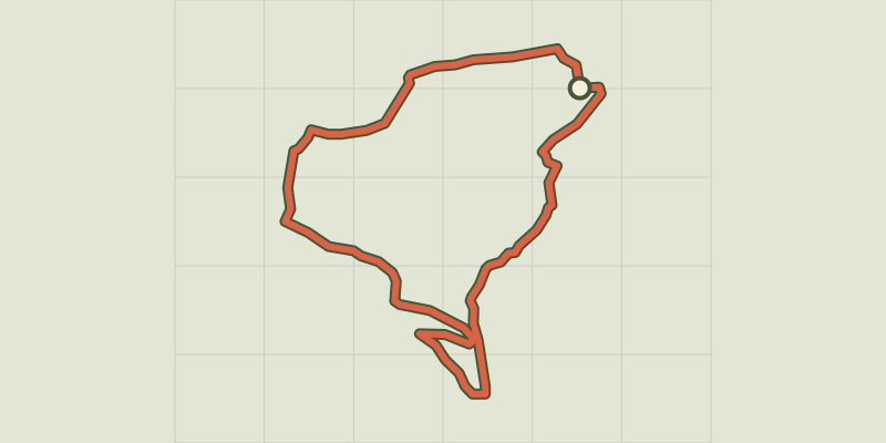 © OpenStreetMap, SRTM · OpenTopoMap (CC-BY-SA)
Stroll of the Petit Calan
Provence-Alpes-Côte d'Azur, Eygalières (13) · LoopOfficial rating by Parcs naturels régionaux de Provence-Alpes-Côte d'Azur © OpenStreetMap, SRTM · OpenTopoMap (CC-BY-SA)
Petit et Gros Calans
Provence-Alpes-Côte d'Azur, Eygalières (13) · LoopOfficial rating by Parcs naturels régionaux de Provence-Alpes-Côte d'Azur © OpenStreetMap, SRTM · OpenTopoMap (CC-BY-SA)
Eygalieres - Du Contras à la chapelle Saint-Sixte
Provence-Alpes-Côte d'Azur, Eygalières (13) · LoopOfficial rating by Parcs naturels régionaux de Provence-Alpes-Côte d'Azur