
The draille de Méjanes by mountain bike

Key facts
- Distance
- 33.2 km
- Ascent
- +33 m
- Descent
- −0 m
- Estimated time
- 1 hr 25
- road cycling
- Difficulty
- Easy
- official rating
- Route
- Out and back
- same way back
Profile and gradient
- under 10%
- 10 to 20%
- over 20%
Gradient along the route: 33.2 km under 10%. Elevation from 0 m to 2 m over 33.2 km.
Description
With endless ponds, fishermen and birds, freshwater marshes and high marshes marked by salt. "This excursion bordering the natural reserve of Camargue through the draille de Méjanes, also called the draille des cinq Gorges is a beautiful retreat along one of the largest wetland reserves in Europe. On the trail riding my bike, all the originality and the heritage interest of these vast areas have revealed themselves, particularly the 283 species of birds including 269 of heritage interest. A true delight!" Philippe Isenmann - RNP of Camargue From the Tourism Office, on the Van Gogh avenue, go through the village towards the Cacharel road (D85A) for 4 km. 1- Before the Mas de Cacharel, take the dirt road on the right for 11 km. 2- At the Domaine de Méjannes, take the trail in the opposite direction and return to the starting point.
Difficulty
Official rating: easy, by Parcs naturels régionaux de Provence-Alpes-Côte d'Azur.
Before you go
- Be careful, days of strong mistral wind may disrupt your trajectory.
Getting there
Start: Office de tourisme, Saintes-Maries-de-la-Mer, Saintes-Maries-de-la-Mer (13).
Sources
- Track: Parcs naturels régionaux de Provence-Alpes-Côte d'Azur (Chemins des Parcs), Licence Ouverte 2.0, Licence Ouverte 2.0 (Etalab) (www.cheminsdesparcs.fr/trek/14500-SAINTES-MARIES-DE-LA-MER---La-draille-des-cinq-Gorges-a-velo). Time estimated by GPX Path with the Mac app rule, breaks not included.
- Official elevation gain: 33 m, Parcs naturels régionaux de Provence-Alpes-Côte d'Azur
Nearby tracks

 © OpenStreetMap, SRTM · OpenTopoMap (CC-BY-SA)
From Sauvage ferry to Cacharel by bike
Provence-Alpes-Côte d'Azur, Saintes-Maries-de-la-Mer (13) · LoopOfficial rating by Parcs naturels régionaux de Provence-Alpes-Côte d'Azur © OpenStreetMap, SRTM · OpenTopoMap (CC-BY-SA)
“Astouin” cycling circuit
Provence-Alpes-Côte d'Azur, Saintes-Maries-de-la-Mer (13) · LoopOfficial rating by Parcs naturels régionaux de Provence-Alpes-Côte d'Azur © OpenStreetMap, SRTM · OpenTopoMap (CC-BY-SA)
"Dromar' cycling path
Provence-Alpes-Côte d'Azur, Saintes-Maries-de-la-Mer (13) · LoopOfficial rating by Parcs naturels régionaux de Provence-Alpes-Côte d'Azur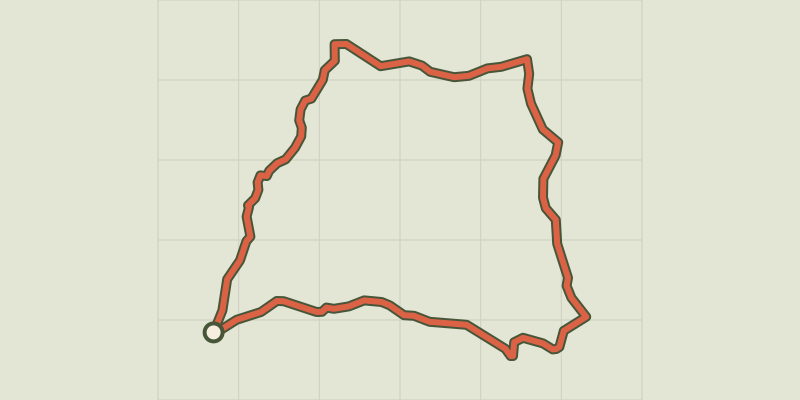 © OpenStreetMap, SRTM · OpenTopoMap (CC-BY-SA)
Go qround Vaccarès in 2 days by bike
Provence-Alpes-Côte d'Azur, Saintes-Maries-de-la-Mer (13) · Point to pointOfficial rating by Parcs naturels régionaux de Provence-Alpes-Côte d'Azur © OpenStreetMap, SRTM · OpenTopoMap (CC-BY-SA)
Cycling around Saintes-Maries-de-la-Mer
Provence-Alpes-Côte d'Azur, Saintes-Maries-de-la-Mer (13) · LoopOfficial rating by Parcs naturels régionaux de Provence-Alpes-Côte d'Azur © OpenStreetMap, SRTM · OpenTopoMap (CC-BY-SA)
The Albaron marsh in Saliers by bike
Provence-Alpes-Côte d'Azur, Arles (13) · LoopOfficial rating by Parcs naturels régionaux de Provence-Alpes-Côte d'Azur