
The Pisse waterfall in Champsaur

Key facts
- Distance
- 9.2 km
- Ascent
- +468 m
- Descent
- −448 m
- Estimated time
- 3 hr
- hiking
- Difficulty
- Moderate
- official rating
- Route
- Out and back
- same way back
Profile and gradient
- under 10%
- 10 to 20%
- over 20%
Gradient along the route: 4.1 km under 10% and 5.1 km at 10 to 20%. Elevation from 1,292 m to 1,744 m over 9.2 km.
Description
In summer, early in the morning, the Tourond valley is wonderfully cool and fresh. From the banks of the Drac Blanc to the Pisse waterfall, water is the guiding blue thread on this hike interlaced with trees and green pastures, showing a contrast between the north- and south-facing slopes of the valley. From the parking area, after the bridge, go up the D 472 for a few metres to the crossroads with a contemporary cross (dated 2009), then turn left up along a path that joins up with a little road leading to the village of Les Fermons. After the third bend, turn left along the path running alongside the chapel and gradually make your way up towards the Tourond refuge. The path looks down on the torrent, then gets closer to it as far as the crossroads with the route going up to Col de Venasque. Turn right into the winding path leading up to the refuge, which you will soon see above you. Below the refuge, turn left into the path that goes around the mountainside and that looks as if it is going to run up against the cliffs at the bottom of the valley. You draw closer to the waterfall, but without going right to the end of the path - for your own safety - then retrace your steps to the Tourond refuge and the start of the hike.
Difficulty
Official rating: moderate, by Parc national des Écrins.
Getting there
Start: Les Fermons, Champoléon, Champoléon (05).
Sources
- Track: Parc national des Écrins, Licence Ouverte 2.0, Licence Ouverte 2.0 (Etalab) (destination.ecrins-parcnational.fr/trek/905611-Cascade-de-la-Pisse-en-Champsaur). Time estimated by GPX Path with the Mac app rule, breaks not included.
- Official elevation gain: 468 m, Parc national des Écrins
Nearby tracks

 © OpenStreetMap, SRTM · OpenTopoMap (CC-BY-SA)
Tourond Refuge
Provence-Alpes-Côte d'Azur, Champoléon (05) · Out and backOfficial rating by Parc national des Écrins © OpenStreetMap, SRTM · OpenTopoMap (CC-BY-SA)
Méollion
Provence-Alpes-Côte d'Azur, Champoléon (05) · LoopOfficial rating by Parc national des Écrins © OpenStreetMap, SRTM · OpenTopoMap (CC-BY-SA)
The Tourond pastures and refuge
Provence-Alpes-Côte d'Azur, Champoléon (05) · Out and backOfficial rating by Parc national des Écrins © OpenStreetMap, SRTM · OpenTopoMap (CC-BY-SA)
Crupillouse Lakes
Écrins, Champoléon (05) · Out and backOfficial rating by Parc national des Écrins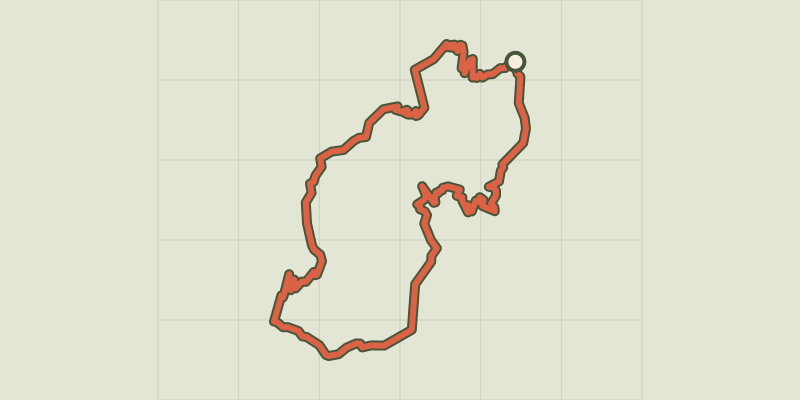 © OpenStreetMap, SRTM · OpenTopoMap (CC-BY-SA)
Au-dessus des Drac
Provence-Alpes-Côte d'Azur, Champoléon (05) · LoopOfficial rating by Parc national des Écrins © OpenStreetMap, SRTM · OpenTopoMap (CC-BY-SA)
Le Palastre
Écrins, Saint-Jean-Saint-Nicolas (05) · Out and backOfficial rating by Parc national des Écrins