
Tourond Refuge

Key facts
- Distance
- 7.4 km
- Ascent
- +395 m
- Descent
- −372 m
- Estimated time
- 2 hr 25
- hiking
- Difficulty
- Easy
- official rating
- Route
- Out and back
- same way back
Profile and gradient
- under 10%
- 10 to 20%
- over 20%
Gradient along the route: 3.0 km under 10%, 4.1 km at 10 to 20% and 0.4 km over 20%. Elevation from 1,292 m to 1,668 m over 7.4 km.
Description
A family outing to discover the landscape frequented by the Ibex benefiting from a rest at Tourond refuge. On the right bank, the sandstone and limestone cliffs dominate the forest on the shadiest slope although on the opposite slope, the side where the track is, there is grassland and heathland where Ibex roam up to a certain altitude there are many different rocks of different origins : volcanic with spilites, sedimentary fir the dolomite or magmatic with granite. From the 3 signposts at the Ecrins National Park take the road to the right and fork left quite soon afterwards on to the track beside the chapel, follow up in the direction of Tourond refuge. The track overhangs the torrent then gets closer to it until it crosses another path that is ascending to the Venasque mountain pass. Turn right on the track that winds along leading to the refuge which is just visible above... Return using the same itinerary.
Difficulty
Official rating: easy, by Parc national des Écrins.
Getting there
Start: Le Pont du Brout, Champoléon (05).
Sources
- Track: Parc national des Écrins, Licence Ouverte 2.0, Licence Ouverte 2.0 (Etalab) (destination.ecrins-parcnational.fr/trek/904321-Le-refuge-du-Tourond). Time estimated by GPX Path with the Mac app rule, breaks not included.
- Official elevation gain: 395 m, Parc national des Écrins
Nearby tracks

 © OpenStreetMap, SRTM · OpenTopoMap (CC-BY-SA)
The Pisse waterfall in Champsaur
Provence-Alpes-Côte d'Azur, Champoléon (05) · Out and backOfficial rating by Parc national des Écrins © OpenStreetMap, SRTM · OpenTopoMap (CC-BY-SA)
Méollion
Provence-Alpes-Côte d'Azur, Champoléon (05) · LoopOfficial rating by Parc national des Écrins © OpenStreetMap, SRTM · OpenTopoMap (CC-BY-SA)
The Tourond pastures and refuge
Provence-Alpes-Côte d'Azur, Champoléon (05) · Out and backOfficial rating by Parc national des Écrins © OpenStreetMap, SRTM · OpenTopoMap (CC-BY-SA)
Crupillouse Lakes
Écrins, Champoléon (05) · Out and backOfficial rating by Parc national des Écrins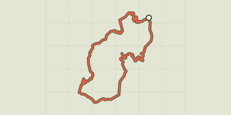 © OpenStreetMap, SRTM · OpenTopoMap (CC-BY-SA)
Au-dessus des Drac
Provence-Alpes-Côte d'Azur, Champoléon (05) · LoopOfficial rating by Parc national des Écrins © OpenStreetMap, SRTM · OpenTopoMap (CC-BY-SA)
Le Palastre
Écrins, Saint-Jean-Saint-Nicolas (05) · Out and backOfficial rating by Parc national des Écrins