
Marassan - la Bleue on mountain bike

Key facts
- Distance
- 12.8 km
- Ascent
- +430 m
- Descent
- −404 m
- Estimated time
- 1 hr 45
- mtb
- Difficulty
- Easy
- official rating
- Route
- Loop
- back to the start
Profile and gradient
- under 10%
- 10 to 20%
- over 20%
Gradient along the route: 10.9 km under 10% and 1.9 km at 10 to 20%. Elevation from 1,446 m to 1,780 m over 12.8 km.
Description
Beautiful and enjoyable hike with the freshness of the forest. Ideal for beginners. This easy and pleasant hike enables you to walk the Mélézin through easy paths. A small alternative path can be followed to reach Abriès and Aiguilles. Cross one of the two bridges, turn left and head up the Guil on a forest track. 1 - Take a right at the first intersection. Turn right again at the next crossing. Continue up the forest road until an intersection at an altitude of 1 740m. 2 - A track does a hairpin bend and another goes on straight. Continue straight. The path alternates between ascending and descending false flats. 3 - After a slightly longer descent, at a height of 1,730m take the correct track on the left. Ignore a forest road coming from the right and continue the descent towards Aiguilles. 4 - Regain the Gouret campsite, cross it and 200m later, take the large gravel path on the right. Continue until you reach the fields. 5 - Cross, turn right and reach the Guil. Cross the river by a bridge and take a left onto the road. Reach Aiguilles and the point of departure taking the D947.
Difficulty
Official rating: easy, by Parcs naturels régionaux de Provence-Alpes-Côte d'Azur.
Getting there
Start: Aiguilles, Aiguilles (05).
Sources
- Track: Parcs naturels régionaux de Provence-Alpes-Côte d'Azur (Chemins des Parcs), Licence Ouverte 2.0, Licence Ouverte 2.0 (Etalab) (www.cheminsdesparcs.fr/trek/26484-AIGUILLES---Marassan-a-VTT). Time estimated by GPX Path with the Mac app rule, breaks not included.
- Official elevation gain: 430 m, Parcs naturels régionaux de Provence-Alpes-Côte d'Azur
Nearby tracks
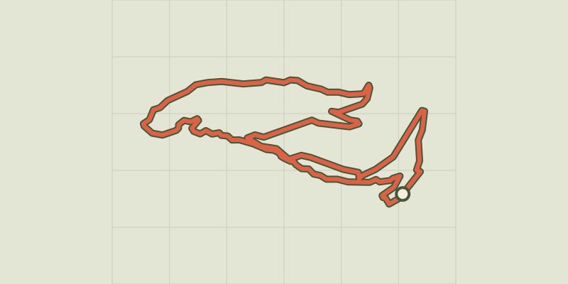
 © OpenStreetMap, SRTM · OpenTopoMap (CC-BY-SA)
The Tirail on mountain bike
Queyras, Abriès-Ristolas (05) · LoopOfficial rating by Parcs naturels régionaux de Provence-Alpes-Côte d'Azur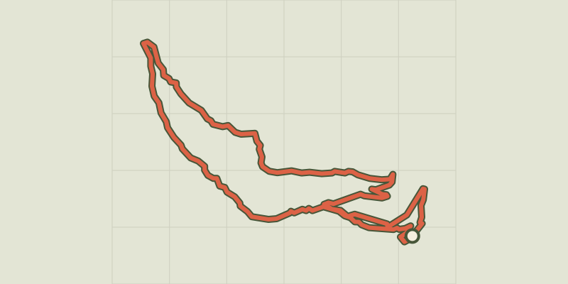 © OpenStreetMap, SRTM · OpenTopoMap (CC-BY-SA)
The Bertins on mountain bike
Queyras, Abriès-Ristolas (05) · LoopOfficial rating by Parcs naturels régionaux de Provence-Alpes-Côte d'Azur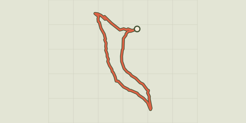 © OpenStreetMap, SRTM · OpenTopoMap (CC-BY-SA)
Les Amoureux by mountain bike
Queyras, Molines-en-Queyras (05) · LoopOfficial rating by Parcs naturels régionaux de Provence-Alpes-Côte d'Azur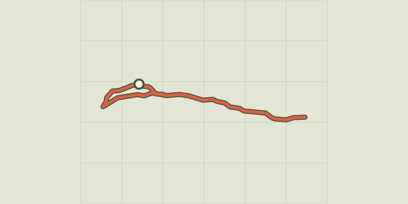 © OpenStreetMap, SRTM · OpenTopoMap (CC-BY-SA)
The Ariane on mountain bike
Queyras, Molines-en-Queyras (05) · Out and backOfficial rating by Parcs naturels régionaux de Provence-Alpes-Côte d'Azur © OpenStreetMap, SRTM · OpenTopoMap (CC-BY-SA)
The Canal de Pierre Dimanche by mountain bike
Queyras, Molines-en-Queyras (05) · LoopOfficial rating by Parcs naturels régionaux de Provence-Alpes-Côte d'Azur © OpenStreetMap, SRTM · OpenTopoMap (CC-BY-SA)
Sommet Bucher on mountain bike
Queyras, Château-Ville-Vieille (05) · LoopOfficial rating by Parcs naturels régionaux de Provence-Alpes-Côte d'Azur