
Sommet Bucher on mountain bike
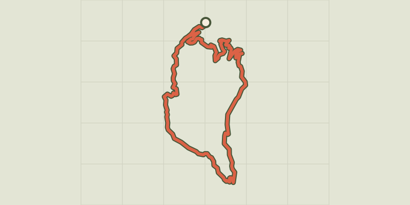
Key facts
- Distance
- 27.6 km
- Ascent
- +1,253 m
- Descent
- −1,122 m
- Estimated time
- 4 hr 15
- mtb
- Difficulty
- Difficult
- official rating
- Route
- Loop
- back to the start
Profile and gradient
- under 10%
- 10 to 20%
- over 20%
Gradient along the route: 20.6 km under 10% and 7.0 km at 10 to 20%. Elevation from 1,356 m to 2,290 m over 27.6 km.
Description
A climb which makes you question why you're there but it's largely made up by a descent which makes you want to do it again and again. It's long, it's hard, it's technique, get ready to go through difficult times. But the views are gorgeous and the descent is fantastically long. Cross the bridge at the end of the parking lot, turn right and follow the road. At the first intersection, go straight and go up. Follow the forest road for a climb on 11km until reaching the grazing meadows. 1 - Turn right towards the Saint Simon chapel. Many cattle tracks were formed here, stay on the level as much as possible until you reach the Col des Prés de Fromage. From there, continue to the right towards the Col du Fromage. The trail is wide and smooth, on a descending false flat. 2 - Reach a meadow with a fountain and a picnic table surrounded by a fence. Go across the fence, cross the stream and go back into the forest on a steep and narrow path. After a few curves, reach a peak and go left on an aerial path surrounded by sinkholes. 3 - 300m before the Col Fromage, descend on the right (the detour at the Col Fromage still offers a spectacular view). Down a steep and technical single track with hairpin bends, steps, stony passages and passages much smoother over several kilometres. Leave a parking lot on the right and a bridge on the left and continue down. The descent becomes less demanding to end in a false flat to reach Montbardon. 4 - Cross this hamlet and take a track that remains leveled. At the bridle, stay left and go down the track to access the road uphill. From there, turn left, go down slowly and turn right at the intersection. Follow the road to go back to the starting point.
Difficulty
Official rating: difficult, by Parcs naturels régionaux de Provence-Alpes-Côte d'Azur.
Getting there
Start: Parking de la via ferrata, Château-Queyras, Château-Ville-Vieille (05).
Sources
- Track: Parcs naturels régionaux de Provence-Alpes-Côte d'Azur (Chemins des Parcs), Licence Ouverte 2.0, Licence Ouverte 2.0 (Etalab) (www.cheminsdesparcs.fr/trek/27035-CHATEAU---QUEYRAS---Sommet-Bucher-a-VTT). Time estimated by GPX Path with the Mac app rule, breaks not included.
- Official elevation gain: 1,253 m, Parcs naturels régionaux de Provence-Alpes-Côte d'Azur
Nearby tracks
 © OpenStreetMap, SRTM · OpenTopoMap (CC-BY-SA)
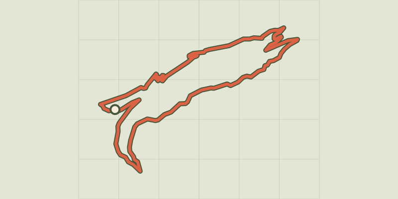
Marassan - la Bleue on mountain bike
Queyras, Aiguilles (05) · LoopOfficial rating by Parcs naturels régionaux de Provence-Alpes-Côte d'Azur © OpenStreetMap, SRTM · OpenTopoMap (CC-BY-SA)
The Canal de Pierre Dimanche by mountain bike
Queyras, Molines-en-Queyras (05) · LoopOfficial rating by Parcs naturels régionaux de Provence-Alpes-Côte d'Azur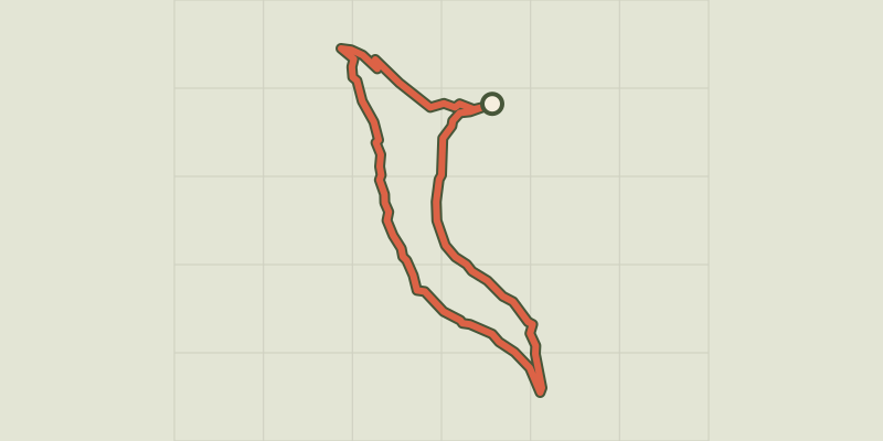 © OpenStreetMap, SRTM · OpenTopoMap (CC-BY-SA)
Les Amoureux by mountain bike
Queyras, Molines-en-Queyras (05) · LoopOfficial rating by Parcs naturels régionaux de Provence-Alpes-Côte d'Azur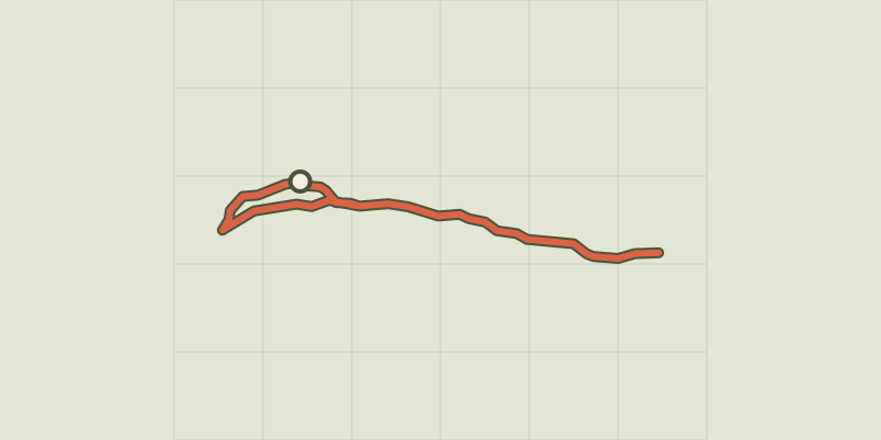 © OpenStreetMap, SRTM · OpenTopoMap (CC-BY-SA)
The Ariane on mountain bike
Queyras, Molines-en-Queyras (05) · Out and backOfficial rating by Parcs naturels régionaux de Provence-Alpes-Côte d'Azur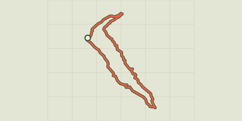 © OpenStreetMap, SRTM · OpenTopoMap (CC-BY-SA)
Bois de Jalavez on mountain bike
Queyras, Ceillac (05) · LoopOfficial rating by Parcs naturels régionaux de Provence-Alpes-Côte d'Azur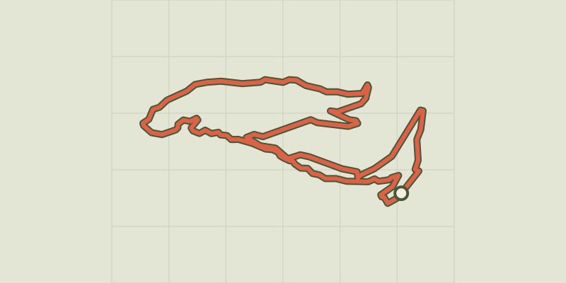 © OpenStreetMap, SRTM · OpenTopoMap (CC-BY-SA)
The Tirail on mountain bike
Queyras, Abriès-Ristolas (05) · LoopOfficial rating by Parcs naturels régionaux de Provence-Alpes-Côte d'Azur