
The Ariane on mountain bike
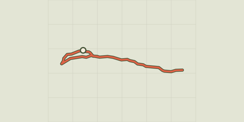
Key facts
- Distance
- 7.6 km
- Ascent
- +155 m
- Descent
- −132 m
- Estimated time
- 50 min
- mtb
- Difficulty
- Easy
- official rating
- Route
- Out and back
- same way back
Profile and gradient
- under 10%
- 10 to 20%
- over 20%
Gradient along the route: 7.2 km under 10% and 0.4 km at 10 to 20%. Elevation from 1,905 m to 2,032 m over 7.6 km.
Description
Family stroll along the edges of Aigue Agnelle. A tour along the riversides at theheart of the Aigue Agnelle Valley which lets you reach to the parking area of the Ariane bridge. From the top of the parking area of Chanterane, leave the bridge on the left and follow the track on the left bank of the Aigue Agnel. Apart from 2 hairpin bends a bit steep, the entire route is on smooth terrain. 1 - Cross the Peyre Bartino bridge and continue until the Ariane bridge. 2 - From there, turn around and follow the opposite path. 3 - At the top, do not descend on the 2 hairpin bends mentioned above but continue straight on the track. Follow this false flat track going down until you reach a road. 4 - Turn right and follow the path until the car park.
Difficulty
Official rating: easy, by Parcs naturels régionaux de Provence-Alpes-Côte d'Azur.
Getting there
Start: Parking du Pont de Chanterane, Molines-en-Queyras, Molines-en-Queyras (05).
Sources
- Track: Parcs naturels régionaux de Provence-Alpes-Côte d'Azur (Chemins des Parcs), Licence Ouverte 2.0, Licence Ouverte 2.0 (Etalab) (www.cheminsdesparcs.fr/trek/26782-MOLINES---L-Ariane-a-VTT). Time estimated by GPX Path with the Mac app rule, breaks not included.
- Official elevation gain: 155 m, Parcs naturels régionaux de Provence-Alpes-Côte d'Azur
Nearby tracks
 © OpenStreetMap, SRTM · OpenTopoMap (CC-BY-SA)
Les Amoureux by mountain bike
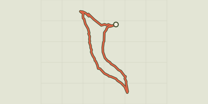
Queyras, Molines-en-Queyras (05) · LoopOfficial rating by Parcs naturels régionaux de Provence-Alpes-Côte d'Azur © OpenStreetMap, SRTM · OpenTopoMap (CC-BY-SA)
The Canal de Pierre Dimanche by mountain bike
Queyras, Molines-en-Queyras (05) · LoopOfficial rating by Parcs naturels régionaux de Provence-Alpes-Côte d'Azur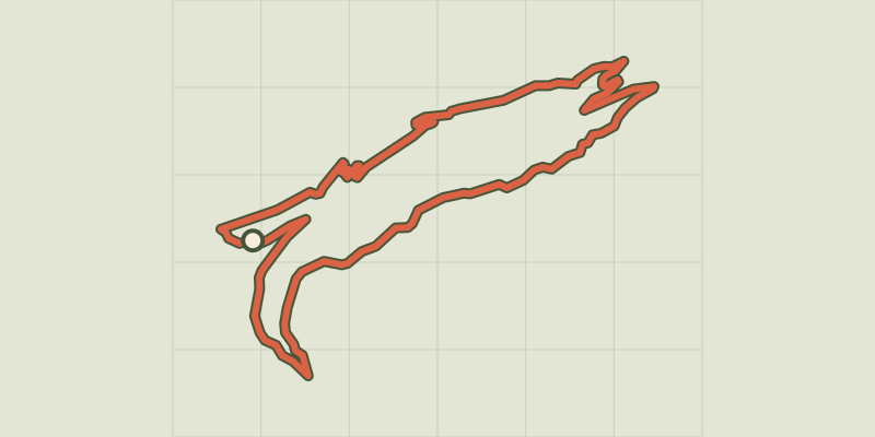 © OpenStreetMap, SRTM · OpenTopoMap (CC-BY-SA)
Marassan - la Bleue on mountain bike
Queyras, Aiguilles (05) · LoopOfficial rating by Parcs naturels régionaux de Provence-Alpes-Côte d'Azur © OpenStreetMap, SRTM · OpenTopoMap (CC-BY-SA)
Sommet Bucher on mountain bike
Queyras, Château-Ville-Vieille (05) · LoopOfficial rating by Parcs naturels régionaux de Provence-Alpes-Côte d'Azur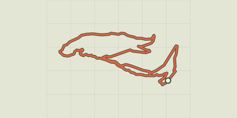 © OpenStreetMap, SRTM · OpenTopoMap (CC-BY-SA)
The Tirail on mountain bike
Queyras, Abriès-Ristolas (05) · LoopOfficial rating by Parcs naturels régionaux de Provence-Alpes-Côte d'Azur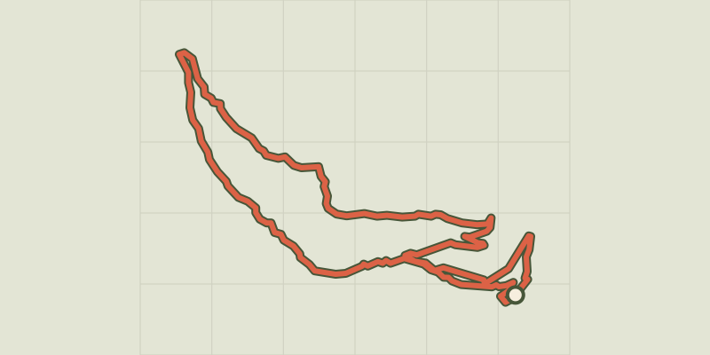 © OpenStreetMap, SRTM · OpenTopoMap (CC-BY-SA)
The Bertins on mountain bike
Queyras, Abriès-Ristolas (05) · LoopOfficial rating by Parcs naturels régionaux de Provence-Alpes-Côte d'Azur