
Courchons hamlet

Key facts
- Distance
- 13.1 km
- Ascent
- +567 m
- Descent
- −545 m
- Estimated time
- 4 hr 05
- hiking
- Difficulty
- Moderate
- official rating
- Route
- Loop
- back to the start
Profile and gradient
- under 10%
- 10 to 20%
- over 20%
Gradient along the route: 8.2 km under 10% and 4.9 km at 10 to 20%. Elevation from 889 m to 1,348 m over 13.1 km.
Description
A hike that will take you to Courchons, an abandoned village in the commune of Saint André, overlooking Lake Castillon. The Courchons hike will take you to the hamlet (altitude 1,350 m), whose school still had 20 students at the beginning of the last century. Today the village is mostly in ruins and pastoralism is the main activity in the sector. Head towards the N202 road. Turn left and follow it south to Hotel du Lac et forest 1- Take the Courchons track on the right. 500 m, join the intersection with the path of the col des Robines path. Continue to climb by the track. After several turns thus passed, gain the path to the Rouchas house. 2- Leave the Courchons tracks and follow this path passing at the foot of houses. Get in a valley by the path and continue in the undergrowth, in a succession of steep passages and flats to a pass. Go west towards the ridge and the ruins of the Courchons old village. 3- Go past the chapel and continue down to the plateau (leave a track on the right and pass in front of the bread oven. In front of the Granges building, take the track on the right and go up slightly until the oratory. On the other side, go down the path and cut the track several times. At 1 km, leave the path towards Moriez and continue on the track. After two shortcuts, get to the pass. 4- Leave the track and follow the path to the left along a clearing.. Stay on the right side of the field. At the end, go down to another field and go to the right on the edge of the wood until you reach the end. Get down by the track. At 800 m, then join the Subis path. Continue down to the track below. 5- Follow the path below which continues to descend. Pass in front of a horse park, near an old nursery ONF and go out to the road. Take straight, cross the pavilion area and join the village of St-André-les-Alpes.
Difficulty
Official rating: moderate, by Parcs naturels régionaux de Provence-Alpes-Côte d'Azur.
Before you go
- avoid the hot summers, leave early. Provide: 2L of water per person, a hat and walking shoes.
Getting there
Start: Depuis la place de Verdun, Saint-André-les-Alpes (04).
Sources
- Track: Parcs naturels régionaux de Provence-Alpes-Côte d'Azur (Chemins des Parcs), Licence Ouverte 2.0, Licence Ouverte 2.0 (Etalab) (www.cheminsdesparcs.fr/trek/63825-SAINT-ANDRE-LES-ALPES---Le-hameau-de-Courchons). Time estimated by GPX Path with the Mac app rule, breaks not included.
- Official elevation gain: 567 m, Parcs naturels régionaux de Provence-Alpes-Côte d'Azur
Nearby tracks

 © OpenStreetMap, SRTM · OpenTopoMap (CC-BY-SA)
The Chalvet peak
Verdon, Saint-André-les-Alpes (04) · LoopOfficial rating by Parcs naturels régionaux de Provence-Alpes-Côte d'Azur © OpenStreetMap, SRTM · OpenTopoMap (CC-BY-SA)
Crête des Serres
Verdon, Saint-André-les-Alpes (04) · Out and backOfficial rating by Parcs naturels régionaux de Provence-Alpes-Côte d'Azur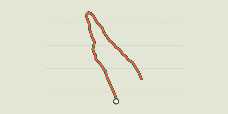 © OpenStreetMap, SRTM · OpenTopoMap (CC-BY-SA)
Barre du Pidanoux
Verdon, Saint-Julien-du-Verdon (04) · Out and backOfficial rating by Parcs naturels régionaux de Provence-Alpes-Côte d'Azur © OpenStreetMap, SRTM · OpenTopoMap (CC-BY-SA)
The peak of Mount Crémon
Verdon, Saint-Julien-du-Verdon (04) · Out and backOfficial rating by Parcs naturels régionaux de Provence-Alpes-Côte d'Azur © OpenStreetMap, SRTM · OpenTopoMap (CC-BY-SA)
Allons - La crête des Serres
Verdon, Allons (04) · LoopOfficial rating by Parcs naturels régionaux de Provence-Alpes-Côte d'Azur © OpenStreetMap, SRTM · OpenTopoMap (CC-BY-SA)
The Sirenians Trail
Verdon, Castellane (04) · Out and backOfficial rating by Parcs naturels régionaux de Provence-Alpes-Côte d'Azur