
The Sirenians Trail

Key facts
- Distance
- 3.7 km
- Ascent
- +112 m
- Descent
- −94 m
- Estimated time
- 1 hr
- hiking
- Difficulty
- Very easy
- official rating
- Route
- Out and back
- same way back
Profile and gradient
- under 10%
- 10 to 20%
- over 20%
Gradient along the route: 3.3 km under 10% and 0.4 km at 10 to 20%. Elevation from 1,145 m to 1,211 m over 3.7 km.
Description
And strange marine mammals called the sirenians inhabited our lands... 40million years ago, the col des Lèques was under the sea. In this warm sea lived peaceful marine mammals: sirenians (ancestors of the current dugongs and manatees). In a unique place in the world, set up by the Haute Provence geological reserve, you will discover remains from 35million years ago. From the car park at the Col des Lèques, take the path along the campsite. In 500m, follow the path and find a small pass and an intersection of marked trails. 1 - Go left and leave on the right the trail going up towards La Baume. Find a ruin by the relatively flat and shaded path. Pass by and then find a small footbridge. After crossing it, climb the trail with a few wooden steps under the pines. Cross the next valley and find a view of the Col des Lèques, the north face of Cadières de Brandis and the summits of Robion and Destourbes, dominating Castellane. Go down the path and go to the right in the direction of the valley where the sirenian fossil site is located. 2 - The same route is used for the return.
Difficulty
Official rating: very easy, by Parcs naturels régionaux de Provence-Alpes-Côte d'Azur.
Before you go
- avoid the heat of summer, bring a hat, water, and walking shoes. The first part of the route passes close to the pastures of the sheep in spring and autumn. The course may be slightly deviated in this area to avoid crossing the herd. Follow the markup. Keep dogs on a leash.
Getting there
Start: Col des Léques, Castellane, Castellane (04).
Sources
- Track: Parcs naturels régionaux de Provence-Alpes-Côte d'Azur (Chemins des Parcs), Licence Ouverte 2.0, Licence Ouverte 2.0 (Etalab) (www.cheminsdesparcs.fr/trek/33756-CASTELLANE---Le-sentier-des-Sireniens). Time estimated by GPX Path with the Mac app rule, breaks not included.
- Official elevation gain: 112 m, Parcs naturels régionaux de Provence-Alpes-Côte d'Azur
Nearby tracks
 © OpenStreetMap, SRTM · OpenTopoMap (CC-BY-SA)
Tour du Roc
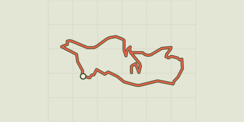
Verdon, Castellane (04) · LoopOfficial rating by Parcs naturels régionaux de Provence-Alpes-Côte d'Azur © OpenStreetMap, SRTM · OpenTopoMap (CC-BY-SA)
The summit of Destourbes
Verdon, Castellane (04) · Out and backOfficial rating by Parcs naturels régionaux de Provence-Alpes-Côte d'Azur © OpenStreetMap, SRTM · OpenTopoMap (CC-BY-SA)
The peak of Mount Crémon
Verdon, Saint-Julien-du-Verdon (04) · Out and backOfficial rating by Parcs naturels régionaux de Provence-Alpes-Côte d'Azur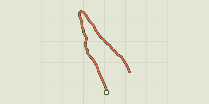 © OpenStreetMap, SRTM · OpenTopoMap (CC-BY-SA)
Barre du Pidanoux
Verdon, Saint-Julien-du-Verdon (04) · Out and backOfficial rating by Parcs naturels régionaux de Provence-Alpes-Côte d'Azur © OpenStreetMap, SRTM · OpenTopoMap (CC-BY-SA)
The summit of Teillon
Verdon, La Garde (04) · Out and backOfficial rating by Parcs naturels régionaux de Provence-Alpes-Côte d'Azur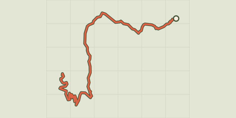 © OpenStreetMap, SRTM · OpenTopoMap (CC-BY-SA)
The peak of the Chiran Mountain
Verdon, Blieux (04) · Out and backOfficial rating by Parcs naturels régionaux de Provence-Alpes-Côte d'Azur