
The hilltop village of Jean Giono

Key facts
- Distance
- 4.5 km
- Ascent
- +160 m
- Descent
- −145 m
- Estimated time
- 1 hr 20
- hiking
- Difficulty
- Easy
- official rating
- Route
- Loop
- back to the start
Profile and gradient
- under 10%
- 10 to 20%
- over 20%
Gradient along the route: 3.0 km under 10%, 1.2 km at 10 to 20% and 0.2 km over 20%. Elevation from 437 m to 579 m over 4.5 km.
Description
An old village of character on a rocky outcrop rich in its heritage, a 360 ° panorama where Jean Giono liked to walk. "I was doing this reflection on the terrace of a house at the top of Saint-Julien-le Montagnier, the forest of oaks closely encircles the foot of the rock that carries the village. It extends over a good hundred square kilometers. It is seen from above, crossed by a deserted road, in a straight line, spinning towards the massive bronze which on the horizon separates this country from the sea. " Jean Giono From the car park take the stairs and turn right, cross the bridge and take the road that goes to the right of the cooperative cellar "path under the rock". 1 - Before the cemetery turn right on the path of donkey paradise. Arrive at the top on a parking lot take the path on the right. 2 - and continue along a small path on the left. At the top, turn right towards "chemin du Baou". Walk under the ramparts in the shade of the holm oaks, until the cross. 3 - then turn left to arrive in front of the Gourdanne gate. Pass under this one and go up on the left towards "the walk of the belvedere" to pass in front of the Church to make the turn and to go straight down in the village. Pass the Auberge du Montagnier and cross the Gourdanne door then turn right down to the Cross. 3 - just after turn left and follow the path that descends lace Arrive at the place said the Fountain continue to descend. 4 -Take the first path on the right to reach a field on the right, cross a bridge across the D69 and continue facing the path of the old mill, straight and then after 200 m turn right through the municipal camp-site at the end again right to the roundabout continue in front of the grocery store, then the post office and return to the departure bridge.
Difficulty
Official rating: easy, by Parcs naturels régionaux de Provence-Alpes-Côte d'Azur.
Before you go
- Avoid the hot summers. Allow 2 L of water per person, a hat and hiking shoes. Preferred seasons : all
Getting there
Start: Parking de la Médiathèque, "traverse de la Foun" Saint-Pierre, Saint-Julien (83).
Sources
- Track: Parcs naturels régionaux de Provence-Alpes-Côte d'Azur (Chemins des Parcs), Licence Ouverte 2.0, Licence Ouverte 2.0 (Etalab) (www.cheminsdesparcs.fr/trek/58206-SAINT-JULIEN-LE-MONTAGNIER---Le-village-perche-de-Jean-Giono). Time estimated by GPX Path with the Mac app rule, breaks not included.
- Official elevation gain: 160 m, Parcs naturels régionaux de Provence-Alpes-Côte d'Azur
Nearby tracks

 © OpenStreetMap, SRTM · OpenTopoMap (CC-BY-SA)
The Quarter from Saint-Pierre
Verdon, Saint-Julien (83) · Out and backOfficial rating by Parcs naturels régionaux de Provence-Alpes-Côte d'Azur © OpenStreetMap, SRTM · OpenTopoMap (CC-BY-SA)
La balade du Quartier
Verdon, Saint-Julien (83) · Out and backOfficial rating by Parcs naturels régionaux de Provence-Alpes-Côte d'Azur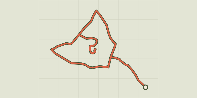 © OpenStreetMap, SRTM · OpenTopoMap (CC-BY-SA)
La Verdiere - Notre Dame de la Salette
Verdon, La Verdière (83) · LoopOfficial rating by Parcs naturels régionaux de Provence-Alpes-Côte d'Azur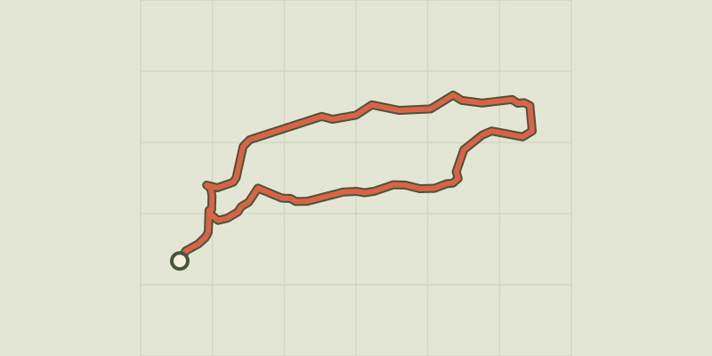 © OpenStreetMap, SRTM · OpenTopoMap (CC-BY-SA)
Esparron-de-Verdon - Autour de la Colle
Verdon, Esparron-de-Verdon (04) · LoopOfficial rating by Parcs naturels régionaux de Provence-Alpes-Côte d'Azur © OpenStreetMap, SRTM · OpenTopoMap (CC-BY-SA)
The Botanical Trail
Verdon, Esparron-de-Verdon (04) · LoopOfficial rating by Parcs naturels régionaux de Provence-Alpes-Côte d'Azur © OpenStreetMap, SRTM · OpenTopoMap (CC-BY-SA)
From Séouve to Sainte-Magdeleine
Verdon, Esparron-de-Verdon (04) · LoopOfficial rating by Parcs naturels régionaux de Provence-Alpes-Côte d'Azur