
The Quarter from Saint-Pierre

Key facts
- Distance
- 20.9 km
- Ascent
- +501 m
- Descent
- −421 m
- Estimated time
- 5 hr 35
- hiking
- Difficulty
- Moderate
- official rating
- Route
- Out and back
- same way back
Profile and gradient
- under 10%
- 10 to 20%
- over 20%
Gradient along the route: 20.4 km under 10% and 0.5 km at 10 to 20%. Elevation from 360 m to 546 m over 20.9 km.
Description
If there is a real gem in the Verdon, it is the Lake Esparron, intimate, wild and heavenly. A hike that allows you to access an exceptional site in a protected natural area for its biological, geological and landscape riches with the beautiful beaches of Lake Esparron to reach the cliffs with remarkable views and you will then walk on the old canal guard trail and its many works overlooking the lake and coves to get to the bucolic "Saint Julien Plage" or it is good to stroll on the banks of the lake. Exit the car park, go up the steps past the post office and continue to the roundabout and turn right on the Terdobbiate street follow the signs GR® de Pays (yellow and red) to the l'éclou hamlet.. 1- Turn left, cross the hamlet. Walk in the undergrowth and go down again to join a tarred path. 2- Turn right and 150 m further continue along the large dirt track on the left. 3- At the crossing of the tracks, leave the big track that goes straight (barrier) and continue on the right. At the Pole 64 "Gabiane” continue straight following the yellow and red markings 4- Follow the track that continues on the right. 5- At the fire hydrant go down to the left for 1.6 km. 6- Continue to descend to the right. 7- Get to the SCP house turn right at the post "Le Quartier" pass next to the barrier and continue towards the lake. At the post 20 turn left and follow the old canal by the small path. 8- At the (pole 21 ) turn right and continue to walk on the edge of the creeks, pass the lake pontoon (post 22) and follow the beaches bypassing the lawns always following the yellow and red markings. 9- Cross the old canal and go up by the large track opposite to (post 23, balcony of the lake). 10- Turn right and follow the signs (yellow and red) on the cliffs and do not leave the marked trails. At the end go down to reach the edge of the old canal. 11- At the pole 24, cross the passage in the old canal and continue on the flat path between the lake and the canal and head for Saint Julien beach. 12-At Saint Julien beach turn around and come back by the same road to point (11) "the Balcony of the lake" at this level turn right and go up the old medieval road. Pass the barrier of the E.N.S and get to a platform down the left track and join the point (7 le Quartier). Take the same path for the return to Saint-Pierre.
Difficulty
Official rating: moderate, by Parcs naturels régionaux de Provence-Alpes-Côte d'Azur.
Before you go
- Provide 3L of water per person, a hat and walking shoes. From June 15th to September 15th check the opening of the massifs by looking at the prefecture website in "find out more" at the bottom of the page (Fire risk - access to the forest massifs). Beware of the locality you enter a ENS, Sensible Natural Space which is a protected area of ??the Var department, so it is forbidden to pick, cairns, to get out of the marked trails and keep dogs on a leash and of course bring back your waste. Caution when walking along the canal, watch the children. ?
Getting there
Start: Depuis Saint-Pierre, Saint-Julien (83).
Sources
- Track: Parcs naturels régionaux de Provence-Alpes-Côte d'Azur (Chemins des Parcs), Licence Ouverte 2.0, Licence Ouverte 2.0 (Etalab) (www.cheminsdesparcs.fr/trek/65009-SAINT-JULIEN-LE-MONTAGNIER---Le-Quartier-depuis-Saint-Pierre). Time estimated by GPX Path with the Mac app rule, breaks not included.
- Official elevation gain: 501 m, Parcs naturels régionaux de Provence-Alpes-Côte d'Azur
Nearby tracks

 © OpenStreetMap, SRTM · OpenTopoMap (CC-BY-SA)
The hilltop village of Jean Giono
Verdon, Saint-Julien (83) · LoopOfficial rating by Parcs naturels régionaux de Provence-Alpes-Côte d'Azur © OpenStreetMap, SRTM · OpenTopoMap (CC-BY-SA)
La balade du Quartier
Verdon, Saint-Julien (83) · Out and backOfficial rating by Parcs naturels régionaux de Provence-Alpes-Côte d'Azur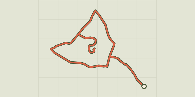 © OpenStreetMap, SRTM · OpenTopoMap (CC-BY-SA)
La Verdiere - Notre Dame de la Salette
Verdon, La Verdière (83) · LoopOfficial rating by Parcs naturels régionaux de Provence-Alpes-Côte d'Azur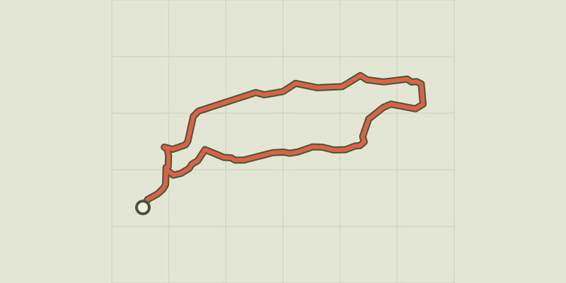 © OpenStreetMap, SRTM · OpenTopoMap (CC-BY-SA)
Esparron-de-Verdon - Autour de la Colle
Verdon, Esparron-de-Verdon (04) · LoopOfficial rating by Parcs naturels régionaux de Provence-Alpes-Côte d'Azur © OpenStreetMap, SRTM · OpenTopoMap (CC-BY-SA)
The Botanical Trail
Verdon, Esparron-de-Verdon (04) · LoopOfficial rating by Parcs naturels régionaux de Provence-Alpes-Côte d'Azur © OpenStreetMap, SRTM · OpenTopoMap (CC-BY-SA)
From Séouve to Sainte-Magdeleine
Verdon, Esparron-de-Verdon (04) · LoopOfficial rating by Parcs naturels régionaux de Provence-Alpes-Côte d'Azur