
The Botanical Trail

Key facts
- Distance
- 6.0 km
- Ascent
- +204 m
- Descent
- −178 m
- Estimated time
- 1 hr 45
- hiking
- Difficulty
- Easy
- official rating
- Route
- Loop
- back to the start
Profile and gradient
- under 10%
- 10 to 20%
- over 20%
Gradient along the route: 4.8 km under 10%, 0.8 km at 10 to 20% and 0.5 km over 20%. Elevation from 365 m to 524 m over 6.0 km.
Description
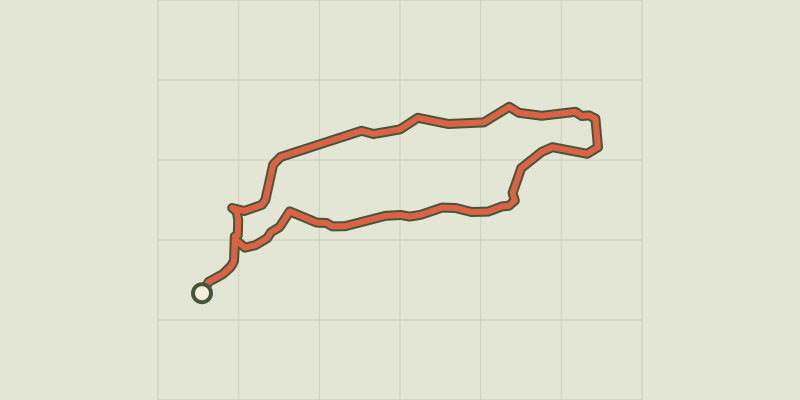
I love this rich and pleasant stroll throughout the year taking advantage of the landscapes especially in spring with the maximum flowering. Take time to discover the various facets of vegetation. Throughout the route you will find signs naming the main species of trees and shrubs. Be careful and enjoy them without damaging, please do not pick them, such seemingly common species can be rare and protected. This is the case of the fritillaria here present, which is found only in the Southern Alps. A beautiful photo lasts longer. Stefano Blanc Ecogarde at the PNR Verdon. From the car park of the tourist office, get on the D82 road and turn right towards the castle and its fountain. Turn right in 100m at the intersection between the roads of La Tuilière and Quinson. 1- Take the right route (Lake Road and Tuilière Road). After 50m on the Chemin de Tuilière, turn left onto the GR discovery trail (red and white markings). The entire climb, on a trail, is common with this special course. Pass in front of the viewpoint of the Tuilière. Cross a small valley and reach, to the top, a crossroads of tracks at a place known as Séouve. 2- At the crossroad turn right (yellow signs) and follow "pont coupé 1.5km" 3- Leave the trail that leads to the relay and take the path on the left, follow the trail. (Careful, the descent to the lake is a bit abrupt!) 4- At the bottom of the road turn right and join the paved road Chemin de Tuiliére, follow it to point 1. Continue on the same route as before.
Difficulty
Official rating: easy, by Parcs naturels régionaux de Provence-Alpes-Côte d'Azur.
Before you go
- We recommend at least 2L / 34 OZ of water per person, a hat and proper walking shoes. Avoid trail during hot weather. Find out before, the forests are sometimes closed in the summer due to fire risk. The town of Esparron de Verdon had two major fires in 2003 and 2005, BE CAREFUL! FIRE CAN START VERY QUICKLY. (As a reminder, smoking in forests is prohibited).
Getting there
Start: Centre du village, Esparron-de-Verdon, Esparron-de-Verdon (04).
Sources
- Track: Parcs naturels régionaux de Provence-Alpes-Côte d'Azur (Chemins des Parcs), Licence Ouverte 2.0, Licence Ouverte 2.0 (Etalab) (www.cheminsdesparcs.fr/trek/57760-ESPARRON-DE-VERDON---Le-sentier-botanique). Time estimated by GPX Path with the Mac app rule, breaks not included.
- Official elevation gain: 204 m, Parcs naturels régionaux de Provence-Alpes-Côte d'Azur
Nearby tracks
 © OpenStreetMap, SRTM · OpenTopoMap (CC-BY-SA)
Esparron-de-Verdon - Autour de la Colle
Verdon, Esparron-de-Verdon (04) · LoopOfficial rating by Parcs naturels régionaux de Provence-Alpes-Côte d'Azur © OpenStreetMap, SRTM · OpenTopoMap (CC-BY-SA)
From Séouve to Sainte-Magdeleine
Verdon, Esparron-de-Verdon (04) · LoopOfficial rating by Parcs naturels régionaux de Provence-Alpes-Côte d'Azur © OpenStreetMap, SRTM · OpenTopoMap (CC-BY-SA)
La balade du Quartier
Verdon, Saint-Julien (83) · Out and backOfficial rating by Parcs naturels régionaux de Provence-Alpes-Côte d'Azur © OpenStreetMap, SRTM · OpenTopoMap (CC-BY-SA)
Buffe Arnaud Walk
Verdon, Saint-Martin-de-Brômes (04) · LoopOfficial rating by Parcs naturels régionaux de Provence-Alpes-Côte d'Azur © OpenStreetMap, SRTM · OpenTopoMap (CC-BY-SA)
St. Mark's Chapel
Verdon, Allemagne-en-Provence (04) · LoopOfficial rating by Parcs naturels régionaux de Provence-Alpes-Côte d'Azur © OpenStreetMap, SRTM · OpenTopoMap (CC-BY-SA)
The Quarter from Saint-Pierre
Verdon, Saint-Julien (83) · Out and backOfficial rating by Parcs naturels régionaux de Provence-Alpes-Côte d'Azur