
The summit of Destourbes

Key facts
- Distance
- 12.6 km
- Ascent
- +815 m
- Descent
- −804 m
- Estimated time
- 4 hr 50
- hiking
- Difficulty
- Difficult
- official rating
- Route
- Out and back
- same way back
Profile and gradient
- under 10%
- 10 to 20%
- over 20%
Gradient along the route: 2.5 km under 10% and 10.1 km at 10 to 20%. Elevation from 729 m to 1,534 m over 12.6 km.
Description
The climb to the summit of Destourbes is progressive and offers a succession of panoramas on the reservoir of Chaudanne. The summit of Destourbes is the privileged summit of the Castellanais. The hike is largely covered in the forest. The reward is at the end of this climb which culminates at 1543m, bringing together the main heights of the region. Its ascent back and forth also allows time to visit the town of Castellane. From the parking lot of the Boudousque cross the Verdon by the bridge of the Roc, follow the D4085 for 50m on the left, in direction of Grasse. 1- Cross the D4085 and climb the path opposite in the forest towards the summit of Destourbes. The trail rises windingly and gradually under the pines. Several passages are still walled. The road is well marked. Reach and cross a forest trail above. Climb on the wide, winding path in the northeast slope of the mountain. A further kilometer will find an end-of-trail turn-around area. 2- Take the trail above and go back down slightly. Follow a long crossing. Continue the ascent through a series of turns before going to the ridge. Follow it towards the summit (grand cairn). Follow the markup! 3- Arriving at point 3, return to the starting point by the same route.
Difficulty
Official rating: difficult, by Parcs naturels régionaux de Provence-Alpes-Côte d'Azur.
Before you go
- Avoid the strong summer heat, leave early. We recommend: 2L of water per person, a hat and proper hiking shoes. Preferred seasons: Spring, autumn (fall). IGN map: 3542 OT
Getting there
Start: Pont du Roc, Castellane, Castellane (04).
Sources
- Track: Parcs naturels régionaux de Provence-Alpes-Côte d'Azur (Chemins des Parcs), Licence Ouverte 2.0, Licence Ouverte 2.0 (Etalab) (www.cheminsdesparcs.fr/trek/53970-CASTELLANE---Le-sommet-de-Destourbes). Time estimated by GPX Path with the Mac app rule, breaks not included.
- Official elevation gain: 815 m, Parcs naturels régionaux de Provence-Alpes-Côte d'Azur
Nearby tracks
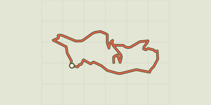
 © OpenStreetMap, SRTM · OpenTopoMap (CC-BY-SA)
Tour du Roc
Verdon, Castellane (04) · LoopOfficial rating by Parcs naturels régionaux de Provence-Alpes-Côte d'Azur © OpenStreetMap, SRTM · OpenTopoMap (CC-BY-SA)
The summit of Teillon
Verdon, La Garde (04) · Out and backOfficial rating by Parcs naturels régionaux de Provence-Alpes-Côte d'Azur © OpenStreetMap, SRTM · OpenTopoMap (CC-BY-SA)
The Sirenians Trail
Verdon, Castellane (04) · Out and backOfficial rating by Parcs naturels régionaux de Provence-Alpes-Côte d'Azur © OpenStreetMap, SRTM · OpenTopoMap (CC-BY-SA)
The burnt farm
Verdon, Demandolx (04) · LoopOfficial rating by Parcs naturels régionaux de Provence-Alpes-Côte d'Azur © OpenStreetMap, SRTM · OpenTopoMap (CC-BY-SA)
Le Bourguet - Bagarry
Verdon, Le Bourguet (83) · LoopOfficial rating by Parcs naturels régionaux de Provence-Alpes-Côte d'Azur © OpenStreetMap, SRTM · OpenTopoMap (CC-BY-SA)
The peak of Mount Crémon
Verdon, Saint-Julien-du-Verdon (04) · Out and backOfficial rating by Parcs naturels régionaux de Provence-Alpes-Côte d'Azur