
The Trinity

Key facts
- Distance
- 9.3 km
- Ascent
- +133 m
- Descent
- −120 m
- Estimated time
- 2 hr 20
- hiking
- Difficulty
- Very easy
- official rating
- Route
- Loop
- back to the start
Profile and gradient
- under 10%
- 10 to 20%
- over 20%
Gradient along the route: 9.3 km under 10%. Elevation from 472 m to 581 m over 9.3 km.
Description
A nice circuit, amid the scents from lavender, almond and olive groves to reach the chapel of the Trinity. « In the sector awarded the label "Site Remarquable du Goût", and as the people from Valensole after taking a few good products, I like to go for a picnic in the Trinity, roaming small wild valleys, amid the lavender fields in bloom in summer and the almond trees in late winter. It feels wonderful absorbing all these fragrances and colours of the Haute Provence before going basking in the shade of plane-trees.Stefano Blanc, Hiking technician at the RNP of Verdon. When leaving the car park, turn left, then at the intersection, turn right. At 100m, leave the route de Manosque and follow the paved road of Riou on the left until reaching the exit of the residential area. At 800m after the olive groves, facing a barn, leave the road to go down to the right to the forge valley. 1 - At a small road, at the bottom of the valley, continue straight for 200m. 2 - Turn right and continue straight for about 250m to the picnic area of Holy Trinity. To the right of the source, hidden under the trees, sits the chapel of the seventeenth century. To go back to Valensole, return to point (2) and follow the paved uphill to the left along the farm of Bellencroupe. 3 - At the plateau, turn left. The small road winds among fields of lavender for 2km to the barn of of the starting area. Go into Valensole via the same route used to go.
Difficulty
Official rating: very easy, by Parcs naturels régionaux de Provence-Alpes-Côte d'Azur.
Before you go
- We would advise 1 L of water per person, a hat and proper walking shoes.
Getting there
Start: Chemin du Riou, Valensole, Valensole (04).
Sources
- Track: Parcs naturels régionaux de Provence-Alpes-Côte d'Azur (Chemins des Parcs), Licence Ouverte 2.0, Licence Ouverte 2.0 (Etalab) (www.cheminsdesparcs.fr/trek/17584-VALENSOLE---La-Trinite). Time estimated by GPX Path with the Mac app rule, breaks not included.
- Official elevation gain: 133 m, Parcs naturels régionaux de Provence-Alpes-Côte d'Azur
Nearby tracks
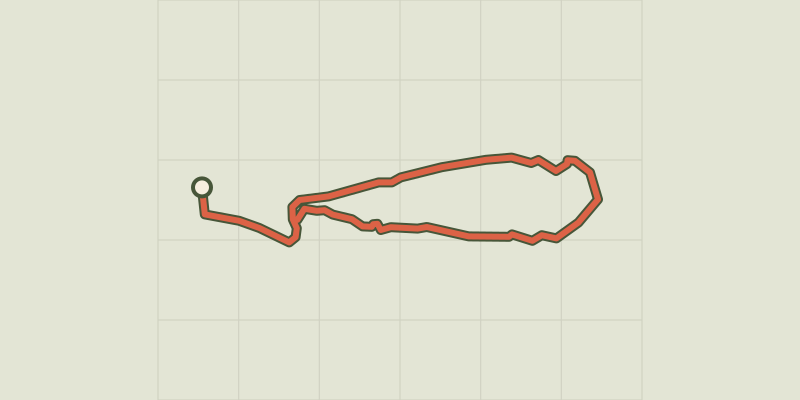
 © OpenStreetMap, SRTM · OpenTopoMap (CC-BY-SA)
St. Mark's Chapel
Verdon, Allemagne-en-Provence (04) · LoopOfficial rating by Parcs naturels régionaux de Provence-Alpes-Côte d'Azur © OpenStreetMap, SRTM · OpenTopoMap (CC-BY-SA)
Buffe Arnaud Walk
Verdon, Saint-Martin-de-Brômes (04) · LoopOfficial rating by Parcs naturels régionaux de Provence-Alpes-Côte d'Azur © OpenStreetMap, SRTM · OpenTopoMap (CC-BY-SA)
La Chapelle Saint-Maxime
Verdon, Riez (04) · LoopOfficial rating by Parcs naturels régionaux de Provence-Alpes-Côte d'Azur © OpenStreetMap, SRTM · OpenTopoMap (CC-BY-SA)
The Millarettes plateau
Verdon, Riez (04) · LoopOfficial rating by Parcs naturels régionaux de Provence-Alpes-Côte d'Azur © OpenStreetMap, SRTM · OpenTopoMap (CC-BY-SA)
From Séouve to Sainte-Magdeleine
Verdon, Esparron-de-Verdon (04) · LoopOfficial rating by Parcs naturels régionaux de Provence-Alpes-Côte d'Azur © OpenStreetMap, SRTM · OpenTopoMap (CC-BY-SA)
Esparron-de-Verdon - Autour de la Colle
Verdon, Esparron-de-Verdon (04) · LoopOfficial rating by Parcs naturels régionaux de Provence-Alpes-Côte d'Azur