
Vallon Lake

Key facts
- Distance
- 14.0 km
- Ascent
- +1,374 m
- Descent
- −1,367 m
- Estimated time
- 7 hr 25
- hiking
- Difficulty
- Difficult
- official rating
- Route
- Out and back
- same way back
Profile and gradient
- under 10%
- 10 to 20%
- over 20%
Gradient along the route: 7.0 km at 10 to 20% and 7.0 km over 20%. Elevation from 1,110 m to 2,483 m over 14.0 km.
Description
Cut out for experienced walkers, the ascent towards Vallon Lake touches the limit of the heart of the Park. Here, the geological diversity and the view of the massifs give an informative insight in to the formation of the Alps. This beautiful large scale itinerary leads from the bottom of the valley to the rocky cirque which reaches up to 3000 m. Minerals are omnipresent and the surrounding summits hide our view of the clouds which can arrive from the South: Be careful of the weather, because you can be surprised by storms up there-haut, the descent will be eventful! Samy Jendoubi, Park ranger at Valbonnais It is best to leave your vehicle beside the Chantelouve church in the hamlet of Bosses. Cross the Malsanne on a wooden walkway, then, on a track traced across a vast shale slope, reach the place which is a timber depot... From there, continue on the forest trail, cross the gorge of the Malsanne on Moulin bridge and follow diagonally right on the path going through a little wood coming out into a vast valley scattered with boulders. At the bottom of the valley, going into the heart of the National Park cross follow a passage between, the steep rocky slabs then the track leads to the pastoral cabin (where there is water). The track continues with several bends through alpine lawns at altitude... It follows a wonderful waterfall originating in Vallon lake. The landscape becomes very mineral when you arrive at the first glacial polishes. Return using the same itinerary.
Difficulty
Official rating: difficult, by Parc national des Écrins.
Before you go
- There is the possibility of joining the trail (although it is difficult) by car but there is sometimes a problem to find parking (at least a 1h of walk).
Getting there
Start: Les Bosses, Chantepérier (38).
Sources
- Track: Parc national des Écrins, Licence Ouverte 2.0, Licence Ouverte 2.0 (Etalab) (destination.ecrins-parcnational.fr/trek/903955-Le-lac-du-Vallon). Time estimated by GPX Path with the Mac app rule, breaks not included.
- Official elevation gain: 1,374 m, Parc national des Écrins
Nearby tracks

 © OpenStreetMap, SRTM · OpenTopoMap (CC-BY-SA)
4-day Tour du Taillefer
Auvergne-Rhône-Alpes, Chantepérier (38) · Point to pointOfficial rating by Parc national des Écrins © OpenStreetMap, SRTM · OpenTopoMap (CC-BY-SA)
La cabane de Rif Meyol
Écrins, Chantepérier (38) · Out and backOfficial rating by Parc national des Écrins © OpenStreetMap, SRTM · OpenTopoMap (CC-BY-SA)
Touret Rock
Écrins, Chantepérier (38) · Out and backOfficial rating by Parc national des Écrins © OpenStreetMap, SRTM · OpenTopoMap (CC-BY-SA)
Tête de Louis XVI via Col de Corbière
Écrins, Villard-Reymond (38) · Out and backOfficial rating by Parc national des Écrins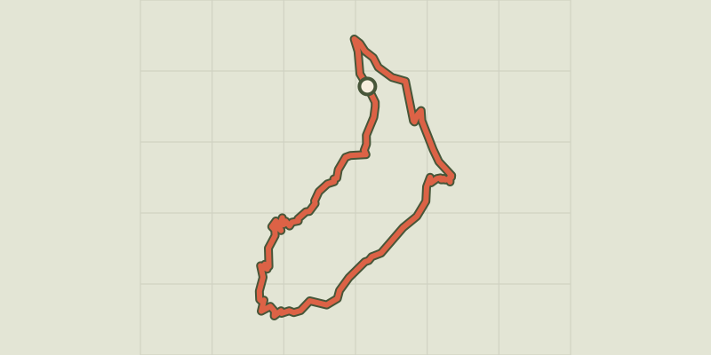 © OpenStreetMap, SRTM · OpenTopoMap (CC-BY-SA)
The Croix du Carrelet crests
Écrins, Villard-Reymond (38) · LoopOfficial rating by Parc national des Écrins © OpenStreetMap, SRTM · OpenTopoMap (CC-BY-SA)
The Prégentil headland
Écrins, Villard-Reymond (38) · Out and backOfficial rating by Parc national des Écrins