
La cabane de Rif Meyol

Key facts
- Distance
- 8.3 km
- Ascent
- +919 m
- Descent
- −911 m
- Estimated time
- 4 hr 50
- hiking
- Difficulty
- Moderate
- official rating
- Route
- Out and back
- same way back
Profile and gradient
- under 10%
- 10 to 20%
- over 20%
Gradient along the route: 2.1 km at 10 to 20% and 6.3 km over 20%. Elevation from 1,130 m to 2,045 m over 8.3 km.
Description
The climb takes you through a softwood forest and leads to the Rif Meyol pastoral hut. There is no lake here, no impetuous stream, no glacier but a silent cirque that is far from busy, where the fauna, as well as the exuberant vegetation impress by their abundance and diversity. A wild but calm environment synonymous with a protected area. Bernard Nicollet, warden in the Valbonnais area After taking a small forestry track, directly from the Confolens waterfall car park, the first two-thirds of the route go through a beech and pine forest to reach the bottom of the high grass pastures. From the old half-ruined stone hut, the meandering path leads up to another altitude "pessière" (spruce forest). You will then reach the pastures, in the true sense of the word, which form a patchwork of rhododendron and blueberry moors, green alder thickets, adenostyles alpinas, raspberry plants and meadows of fleshy grasses. Now at the subalpine stage, there are few trees to obstruct the view over immense greenery surrounded by rocky ledges in the distance. The Rif Méyol is not far. It is discreetly located in the relief and surrounded by large splashes of dark green that are monk's rhubarb.
Difficulty
Official rating: moderate, by Parc national des Écrins.
Before you go
- For early morning walkers, do not forget your gaiters to protect against the abundant dew.
Getting there
Start: Parking de la cascade de Confolens ou du village du Périer, Chantepérier (38).
Sources
- Track: Parc national des Écrins, Licence Ouverte 2.0, Licence Ouverte 2.0 (Etalab) (destination.ecrins-parcnational.fr/trek/935853-La-cabane-de-Rif-Meyol). Time estimated by GPX Path with the Mac app rule, breaks not included.
- Official elevation gain: 919 m, Parc national des Écrins
Nearby tracks

 © OpenStreetMap, SRTM · OpenTopoMap (CC-BY-SA)
Touret Rock
Écrins, Chantepérier (38) · Out and backOfficial rating by Parc national des Écrins © OpenStreetMap, SRTM · OpenTopoMap (CC-BY-SA)
Jas des Agneaux via Pissard des Aiguilles
Écrins, Chantepérier (38) · Out and backOfficial rating by Parc national des Écrins © OpenStreetMap, SRTM · OpenTopoMap (CC-BY-SA)
Lac Gary via le Vet
Écrins, Entraigues (38) · Out and backOfficial rating by Parc national des Écrins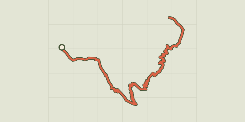 © OpenStreetMap, SRTM · OpenTopoMap (CC-BY-SA)
The jas des Agneaux by the Combe des Roberts
Écrins, Entraigues (38) · Out and backOfficial rating by Parc national des Écrins © OpenStreetMap, SRTM · OpenTopoMap (CC-BY-SA)
Labarre Lake
Écrins, Valjouffrey (38) · Out and backOfficial rating by Parc national des Écrins © OpenStreetMap, SRTM · OpenTopoMap (CC-BY-SA)
The Valsenestre valley
Écrins, Valjouffrey (38) · Out and backOfficial rating by Parc national des Écrins