
A steep climb

Key facts
- Distance
- 9.6 km
- Ascent
- +504 m
- Descent
- −378 m
- Estimated time
- 2 hr 55
- hiking
- Difficulty
- Moderate
- official rating
- Route
- Loop
- back to the start
Profile and gradient
- under 10%
- 10 to 20%
- over 20%
Gradient along the route: 5.3 km under 10%, 4.1 km at 10 to 20% and 0.2 km over 20%. Elevation from 439 m to 817 m over 9.6 km.
Description
A family walk exploring Cévenol heritage, with handsome views onto the Vallée Borgne. Explore the village of St-André de Valborgne with its 5 large silk spinning-mills, the dignified and understated Château de Nogaret (12th c.) overlooking the valley, and the ruins of the former foresters’ house of Rougeiresque. The downhill section is on the old track that used to connect the village with the King’s road (now the Corniche road). Signposts will guide you all along this route, as well as yellow painted waymarks. In the description below, the signposted place names and/or directions are given in bold between quotation marks : Starting at “Au vieux pont”, cross the stream and turn left towards "Réservoir du Serre" via “Les vignes” and “Vignelongue”, first on the small tarred road to its very end and then on the small track on the left. - At “Réservoir du Serre”, go right to walk along the basin, follow the path into the chestnut grove and to the footbridge over the stream, and then go uphill to the track above. - Follow the track to “Chemin de Castanet” passing in front of the signpost to “Rougeiresque”. - At “Chemin de Castanet” head to “Saint-André-de-Valborgne” via “Le valat de la Jasse”. Go downhill to the village via “Le Temple”.
Difficulty
Official rating: moderate, by Parc national des Cévennes.
Before you go
- Before committing yourself to a circuit, ensure that it is suitable for your activity level and ability. Remember that the weather changes quickly in the mountains. Take enough water. Please close all gates and barriers behind you.
Getting there
Start: Saint-André-de-Valborgne, Saint-André-de-Valborgne (30).
Sources
- Track: Parc national des Cévennes, Licence Ouverte 1.0, Licence Ouverte 1.0 (Etalab) (destination.cevennes-parcnational.fr/trek/73689-L-Escale). Time estimated by GPX Path with the Mac app rule, breaks not included.
- Official elevation gain: 504 m, Parc national des Cévennes
Nearby tracks
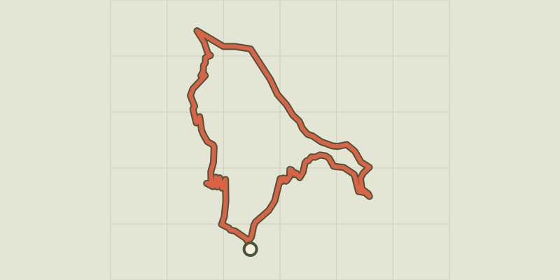
 © OpenStreetMap, SRTM · OpenTopoMap (CC-BY-SA)
Lique Ser
Cévennes, Saint-André-de-Valborgne (30) · LoopOfficial rating by Parc national des Cévennes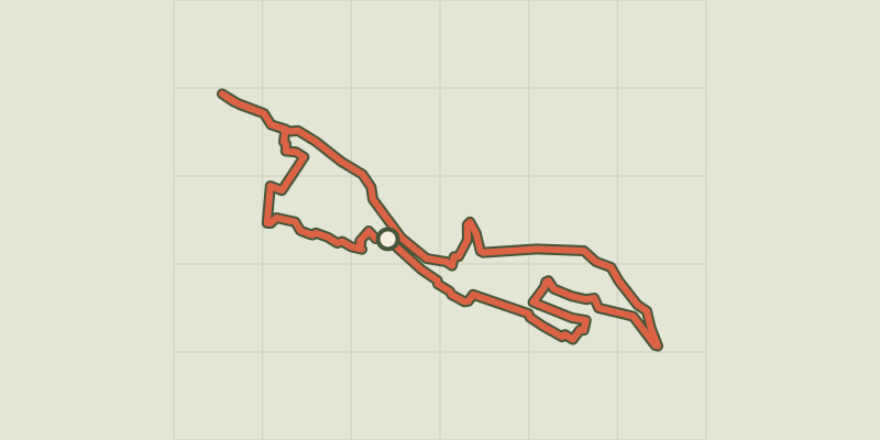 © OpenStreetMap, SRTM · OpenTopoMap (CC-BY-SA)
Saint-André de Valborgne
Cévennes, Saint-André-de-Valborgne (30) · LoopOfficial rating by Parc national des Cévennes © OpenStreetMap, SRTM · OpenTopoMap (CC-BY-SA)
On Fageas ridge, 4 days
Cévennes, Saint-André-de-Valborgne (30) · Point to pointOfficial rating by Parc national des Cévennes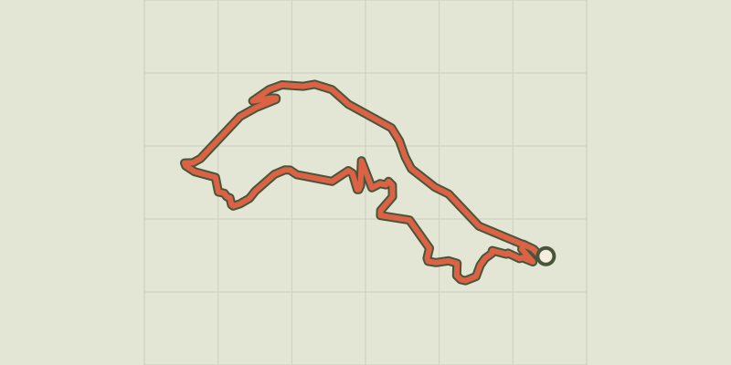 © OpenStreetMap, SRTM · OpenTopoMap (CC-BY-SA)
La Fare
Cévennes, Saint-André-de-Valborgne (30) · LoopOfficial rating by Parc national des Cévennes © OpenStreetMap, SRTM · OpenTopoMap (CC-BY-SA)
Le Col Salidès par Saint-André de Valborgne
Cévennes, Saint-André-de-Valborgne (30) · LoopOfficial rating by Parc national des Cévennes © OpenStreetMap, SRTM · OpenTopoMap (CC-BY-SA)
Pont Marès
Cévennes, Saint-André-de-Valborgne (30) · LoopOfficial rating by Parc national des Cévennes