
Lique Ser
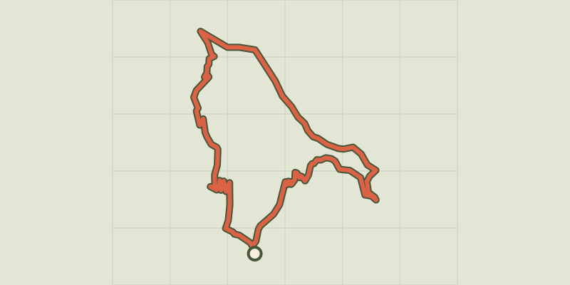
Key facts
- Distance
- 11.8 km
- Ascent
- +604 m
- Descent
- −533 m
- Estimated time
- 3 hr 45
- hiking
- Difficulty
- Moderate
- official rating
- Route
- Loop
- back to the start
Profile and gradient
- under 10%
- 10 to 20%
- over 20%
Gradient along the route: 6.8 km under 10%, 4.7 km at 10 to 20% and 0.3 km over 20%. Elevation from 439 m to 923 m over 11.8 km.
Description
You enter an inhabited vale that can only be accessed on foot. Here, human traces are omnipresent, and every stone has a story to tell. This vale, where stones and soil have been transported on men’s and women’s backs, is a little jewel of agricultural heritage. Observe it all, down to the very last house in ruins. There are handsome panoramas all along the route, and a pretty downhill section on the former track linking Le Pompidou and St-André de Valborgne. Signposts will guide you all along this route, as well as yellow painted waymarks. In the description below, the signposted place names and/or directions are given in bold italics between quotation marks: The departure point is at the old St-André bridge. Cross it and turn left towards “Les Vignes”. Shortly afterwards, follow "Rougeiresque" uphill into the grapevine ravine, towards the Corniche des Cévennes road. - At “Rougeiresque”, take the track on the right to the signpost “Chemin de Castanet”, then continue on your left towards “Malataverne”. - At the signpost “Malataverne”, leave the track and take the path on the left towards “Réservoir du Serre”. - At “Réservoir du Serre” continue on the path on your right to return to the village on a tarred lane, the Nogaret road. As you enter the village, in front of the signpost “Les Vignes”, head towards “Saint- André”, on the left bank.
Difficulty
Official rating: moderate, by Parc national des Cévennes.
Before you go
- Before committing yourself to a circuit, ensure that it is suitable for your activity level and ability. Remember that the weather changes quickly in the mountains. Take enough water. Please close all gates and barriers behind you.
Getting there
Start: St-André-de-Valborgne, Saint-André-de-Valborgne (30).
Sources
- Track: Parc national des Cévennes, Licence Ouverte 1.0, Licence Ouverte 1.0 (Etalab) (destination.cevennes-parcnational.fr/trek/73691-Lique-Ser). Time estimated by GPX Path with the Mac app rule, breaks not included.
- Official elevation gain: 604 m, Parc national des Cévennes
Nearby tracks
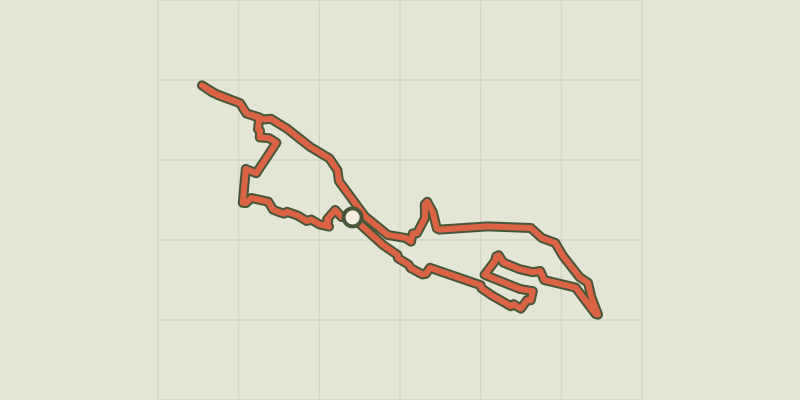
 © OpenStreetMap, SRTM · OpenTopoMap (CC-BY-SA)
Saint-André de Valborgne
Cévennes, Saint-André-de-Valborgne (30) · LoopOfficial rating by Parc national des Cévennes © OpenStreetMap, SRTM · OpenTopoMap (CC-BY-SA)
On Fageas ridge, 4 days
Cévennes, Saint-André-de-Valborgne (30) · Point to pointOfficial rating by Parc national des Cévennes © OpenStreetMap, SRTM · OpenTopoMap (CC-BY-SA)
A steep climb
Cévennes, Saint-André-de-Valborgne (30) · LoopOfficial rating by Parc national des Cévennes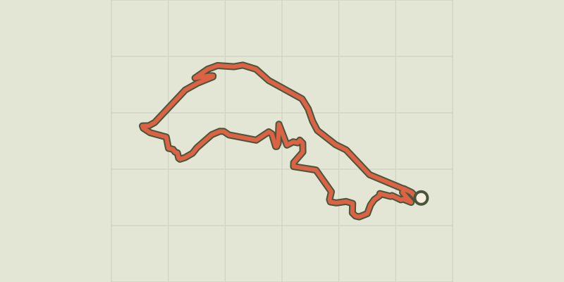 © OpenStreetMap, SRTM · OpenTopoMap (CC-BY-SA)
La Fare
Cévennes, Saint-André-de-Valborgne (30) · LoopOfficial rating by Parc national des Cévennes © OpenStreetMap, SRTM · OpenTopoMap (CC-BY-SA)
Le Col Salidès par Saint-André de Valborgne
Cévennes, Saint-André-de-Valborgne (30) · LoopOfficial rating by Parc national des Cévennes © OpenStreetMap, SRTM · OpenTopoMap (CC-BY-SA)
Pont Marès
Cévennes, Saint-André-de-Valborgne (30) · LoopOfficial rating by Parc national des Cévennes