
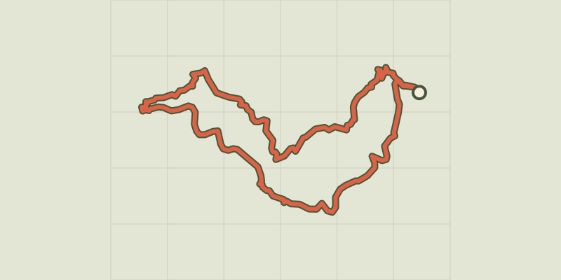
From Ispagnac to the mediaeval village of Sainte-Enimie.
Key facts
- Distance
- 34.9 km
- Ascent
- +1,210 m
- Descent
- −966 m
- Estimated time
- 9 hr 50
- hiking
- Difficulty
- Moderate
- official rating
- Route
- Point to point
- ends elsewhere
Profile and gradient
- under 10%
- 10 to 20%
- over 20%
Gradient along the route: 30.4 km under 10%, 3.5 km at 10 to 20% and 1.0 km over 20%. Elevation from 461 m to 970 m over 34.9 km.
Description
This hike along the Tarn River takes you through a verdant landscape and villages full of character. The return is over the Causse de Sauveterre plateau, whose bare expanses form a striking contrast with the valley floor. The two-day hike departs from Ispagnac, at the entrance to the Tarn gorge, and leads to the mediaeval village of Sainte-Enimie at the very heart of the canyon: - Day 1: departure from Ispagnac on the Tarn gorge path (waymarked yellow and green) for 17 km, to Sainte-Enimie - Day 2: return from Sainte-Enimie to Ispagnac over 18 km: yellow waymarks to Les Boissets, then on the GRP Tour du Sauveterre (waymarked yellow and red) to Ispagnac.
Difficulty
Official rating: moderate, by Parc national des Cévennes.
Before you go
- Take care during periods of floods in spring and autumn: some sections of the path through the Tarn gorge will be impassable. Make sure your equipment is appropriate for the day’s weather conditions. Remember that the weather changes quickly in the mountains. Take enough water, wear sturdy shoes and put on a hat. Please close all gates and barriers behind you.
Getting there
Start: Ispagnac, Ispagnac (48).
Sources
- Track: Parc national des Cévennes, Licence Ouverte 1.0, Licence Ouverte 1.0 (Etalab) (destination.cevennes-parcnational.fr/trek/43400-Du-haut-Tarn-a-la-cite-medievale). Time estimated by GPX Path with the Mac app rule, breaks not included.
- Official elevation gain: 1,210 m, Parc national des Cévennes
Nearby tracks

 © OpenStreetMap, SRTM · OpenTopoMap (CC-BY-SA)
Rocher des Fées
Cévennes, Ispagnac (48) · LoopOfficial rating by Parc national des Cévennes © OpenStreetMap, SRTM · OpenTopoMap (CC-BY-SA)
The two bridges
Cévennes, Ispagnac (48) · LoopOfficial rating by Parc national des Cévennes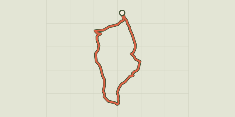 © OpenStreetMap, SRTM · OpenTopoMap (CC-BY-SA)
Paros
Cévennes, Ispagnac (48) · LoopOfficial rating by Parc national des Cévennes © OpenStreetMap, SRTM · OpenTopoMap (CC-BY-SA)
La Condamine
Cévennes, Gorges du Tarn Causses (48) · LoopOfficial rating by Parc national des Cévennes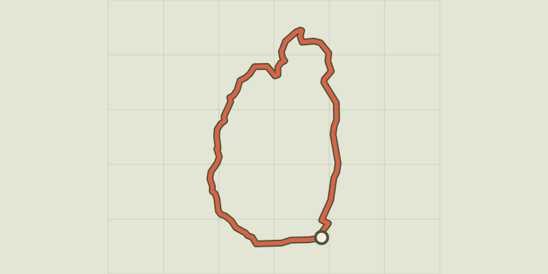 © OpenStreetMap, SRTM · OpenTopoMap (CC-BY-SA)
Causse de Sauveterre
Cévennes, Saint-Étienne-du-Valdonnez (48) · LoopOfficial rating by Parc national des Cévennes © OpenStreetMap, SRTM · OpenTopoMap (CC-BY-SA)
Puecheral
Cévennes, Florac Trois Rivières (48) · LoopOfficial rating by Parc national des Cévennes