
Camprieu trail

Key facts
- Distance
- 16.6 km
- Ascent
- +574 m
- Descent
- −490 m
- Estimated time
- 4 hr 45
- hiking
- Difficulty
- Difficult
- official rating
- Route
- Loop
- back to the start
Profile and gradient
- under 10%
- 10 to 20%
- over 20%
Gradient along the route: 13.7 km under 10% and 2.9 km at 10 to 20%. Elevation from 887 m to 1,276 m over 16.6 km.
Description
A hike through a very varied landscape but focused on the forest that was created by the large reforestation programme begun in the late 19th century. Today, the big trees that cover the slopes seem to always have been there. And yet in 1864, when the French state forestry service began reforesting the mountain, which looked like a giant landslide, the inhabitants of Camprieu disagreed. Slowly, they were persuaded that the work was urgent. Signposts will guide you all along this route, as well as yellow painted waymarks. In the description below, the signposted place names and/or directions are given in bold italics between quotation marks: Start in Camprieu, from the car park at the gymnasium. Walk to “Camprieu, La croix Basse”, then “La Croix Haute”, “La Clédette”, “La passerelle de Bramabiau”. - At “La passerelle de Bramabiau”, take the track on the left to “Conduite Forcées”. - At “Conduite Forcées”, head for “Les Monts” via “La Matte” and “La Combelle”. - Walk through the village of “Les Monts” and, as you leave, take the path opposite that goes uphill towards “Col du Suquet”, via “Valat de Malbosc“ and then the road to “La Roque”. - At “La Roque”, take the path on the left that joins a track, to “Col du Suquet” via “Le Vieux Hêtre”. - At “Col du Suquet”, take the track on the left towards “Camprieu” via “Col des Ubertes”, “Tédounès”, “Terondel”. - At the signpost for “Terondel”, continue on the road to “Camprieu” via “Tailladette”, “Maison du Bois”, “Tabarde”, “Le Cros”.
Difficulty
Official rating: difficult, by Parc national des Cévennes.
Before you go
- Before committing yourself to a circuit, ensure that it is suitable for your activity level and ability. Remember that the weather changes quickly in the mountains. Take enough water.
Getting there
Start: Gymnase de Camprieu, Saint-Sauveur-Camprieu (30).
Sources
- Track: Parc national des Cévennes, Licence Ouverte 1.0, Licence Ouverte 1.0 (Etalab) (destination.cevennes-parcnational.fr/trek/45226-Camprieu). Time estimated by GPX Path with the Mac app rule, breaks not included.
- Official elevation gain: 574 m, Parc national des Cévennes
Nearby tracks
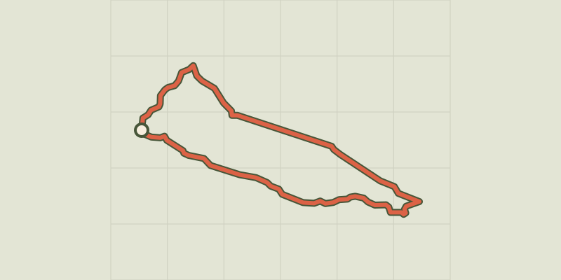
 © OpenStreetMap, SRTM · OpenTopoMap (CC-BY-SA)
The Bonheur valley
Cévennes, Saint-Sauveur-Camprieu (30) · LoopOfficial rating by Parc national des Cévennes © OpenStreetMap, SRTM · OpenTopoMap (CC-BY-SA)
Saint-Sauveur: the path of the Dead
Cévennes, Saint-Sauveur-Camprieu (30) · LoopOfficial rating by Parc national des Cévennes © OpenStreetMap, SRTM · OpenTopoMap (CC-BY-SA)
Saint Sauveur des Pourcils
Cévennes, Saint-Sauveur-Camprieu (30) · LoopOfficial rating by Parc national des Cévennes © OpenStreetMap, SRTM · OpenTopoMap (CC-BY-SA)
The streams walk
Cévennes, Meyrueis (48) · LoopOfficial rating by Parc national des Cévennes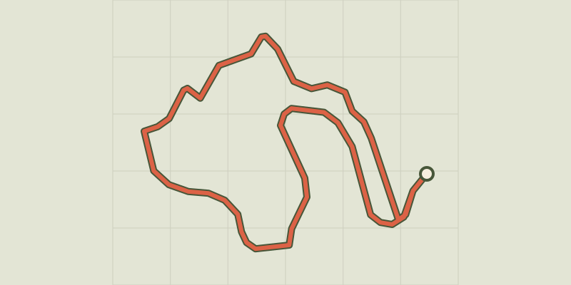 © OpenStreetMap, SRTM · OpenTopoMap (CC-BY-SA)
Arborétum de La Foux
Cévennes, Lanuéjols (30) · LoopOfficial rating by Parc national des Cévennes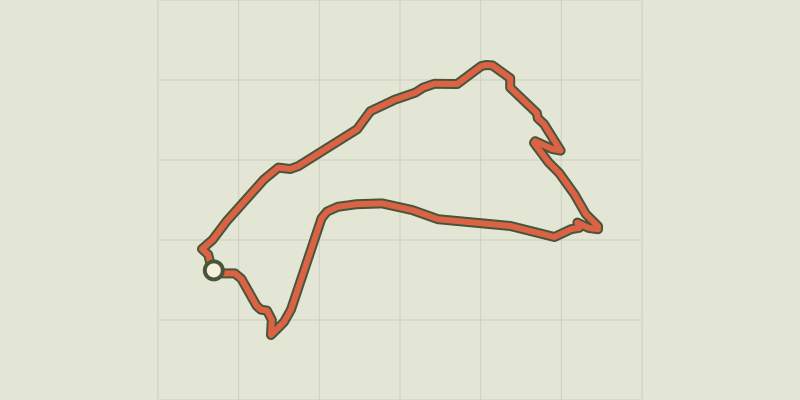 © OpenStreetMap, SRTM · OpenTopoMap (CC-BY-SA)
Malpertus
Cévennes, Dourbies (30) · LoopOfficial rating by Parc national des Cévennes