
The streams walk

Key facts
- Distance
- 5.2 km
- Ascent
- +320 m
- Descent
- −303 m
- Estimated time
- 1 hr 55
- hiking
- Difficulty
- Moderate
- official rating
- Route
- Loop
- back to the start
Profile and gradient
- under 10%
- 10 to 20%
- over 20%
Gradient along the route: 2.2 km under 10%, 2.6 km at 10 to 20% and 0.4 km over 20%. Elevation from 818 m to 1,115 m over 5.2 km.
Description
A shaded path along the Croix de Fer and Fageole streams. Under the canopy of majestic beeches, gaps in the vegetation will give you views onto the Béthuzon valley, the hamlet of Le Villaret and, in the distance, the Causse Méjean plateau. Go through the village to get to the Croix-de-fer stream. Cross the stream. - Cross it and go uphill for about 100 m towards a crossroads. - Turn right and go through the village again. Walk alongside the stream, then follow its tributary, the Fageole. Cross it to continue climbing through the woodland to join a wide forest track. - Turn left and continue for 1.5 kilometres. - Then take a path going downhill on your left, which is suitable for motor vehicles for 500 m, then take a path on the left that overlooks the Croix-de-Fer stream and goes down to the village of Le Villaret. Cross the stream at the ford and go back up to the village of Le Villaret.
Difficulty
Official rating: moderate, by Parc national des Cévennes.
Before you go
- Steep uphill section early on. Several fords (must be avoided during flooding). Make sure your equipment is appropriate for the day’s weather conditions. Remember that the weather changes quickly in the mountains. Take enough water, wear sturdy shoes and put on a hat. Please close all gates and barriers behind you.
Getting there
Start: Le Villaret (Meyrueis), Meyrueis (48).
Sources
- Track: Parc national des Cévennes, Licence Ouverte 1.0, Licence Ouverte 1.0 (Etalab) (destination.cevennes-parcnational.fr/trek/41012-Les-ruisseaux). Time estimated by GPX Path with the Mac app rule, breaks not included.
- Official elevation gain: 320 m, Parc national des Cévennes
Nearby tracks
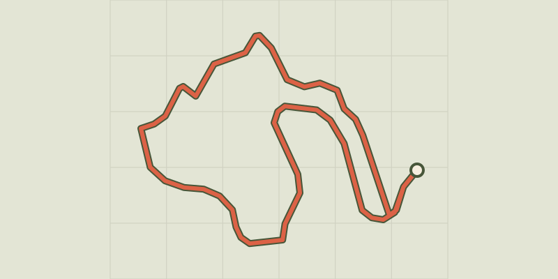
 © OpenStreetMap, SRTM · OpenTopoMap (CC-BY-SA)
Arborétum de La Foux
Cévennes, Lanuéjols (30) · LoopOfficial rating by Parc national des Cévennes © OpenStreetMap, SRTM · OpenTopoMap (CC-BY-SA)
O Roquedols, my Roquedols!
Cévennes, Meyrueis (48) · LoopOfficial rating by Parc national des Cévennes © OpenStreetMap, SRTM · OpenTopoMap (CC-BY-SA)
Saint-Sauveur: the path of the Dead
Cévennes, Saint-Sauveur-Camprieu (30) · LoopOfficial rating by Parc national des Cévennes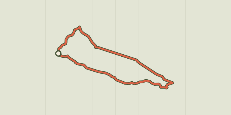 © OpenStreetMap, SRTM · OpenTopoMap (CC-BY-SA)
The Bonheur valley
Cévennes, Saint-Sauveur-Camprieu (30) · LoopOfficial rating by Parc national des Cévennes © OpenStreetMap, SRTM · OpenTopoMap (CC-BY-SA)
Camprieu trail
Cévennes, Saint-Sauveur-Camprieu (30) · LoopOfficial rating by Parc national des Cévennes © OpenStreetMap, SRTM · OpenTopoMap (CC-BY-SA)
Saint Sauveur des Pourcils
Cévennes, Saint-Sauveur-Camprieu (30) · LoopOfficial rating by Parc national des Cévennes