
The Bonheur valley
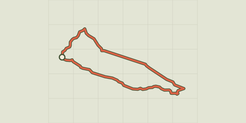
Key facts
- Distance
- 9.3 km
- Ascent
- +197 m
- Descent
- −152 m
- Estimated time
- 2 hr 25
- hiking
- Difficulty
- Moderate
- official rating
- Route
- Loop
- back to the start
Profile and gradient
- under 10%
- 10 to 20%
- over 20%
Gradient along the route: 9.0 km under 10% and 0.2 km at 10 to 20%. Elevation from 1,099 m to 1,214 m over 9.3 km.
Description
Immerse yourself in the enchanting Bonheur valley with its spring flowers! The long valley of the Bonheur separates sloping pastureland from a forest. You will pass La Baraque Neuve and La Baraque Vieille, two houses whose history is intertwined with sheep transhumance (migration to and from summer pastures). Signposts will guide you all along this route. In the description below, the signposted place names and/or directions are given in bold italics between quotation marks: Start at the football pitch, "Camprieu - parking", head towards "Col de La Serreyrède" via "Le Cros", "Tabarde", "Bois de Camprieu", "Plan du Châtaignier" till you reach "Sous St Flour", then follow "Bonahuc", "La Baraque Vieille", "La Baraque Neuve", "Le Devois", "Pont du Bonheur", "L'Aubespi". Return to "Camprieu" via"Perte du Bonheur" and "Camprieu - Mairie". This walk is taken from the guidebook Massif de l’Aigoual, published by the Communauté de communes Causses Aigoual Cévennes as part of the collection Espaces naturels gardois and the label Gard Pleine Nature.
Difficulty
Official rating: moderate, by Parc national des Cévennes.
Getting there
Start: Camprieu, terrain de foot, Saint-Sauveur-Camprieu (30).
Sources
- Track: Parc national des Cévennes, Licence Ouverte 1.0, Licence Ouverte 1.0 (Etalab) (destination.cevennes-parcnational.fr/trek/41275-La-vallee-du-Bonheur). Time estimated by GPX Path with the Mac app rule, breaks not included.
- Official elevation gain: 197 m, Parc national des Cévennes
Nearby tracks

 © OpenStreetMap, SRTM · OpenTopoMap (CC-BY-SA)
Camprieu trail
Cévennes, Saint-Sauveur-Camprieu (30) · LoopOfficial rating by Parc national des Cévennes © OpenStreetMap, SRTM · OpenTopoMap (CC-BY-SA)
Saint-Sauveur: the path of the Dead
Cévennes, Saint-Sauveur-Camprieu (30) · LoopOfficial rating by Parc national des Cévennes © OpenStreetMap, SRTM · OpenTopoMap (CC-BY-SA)
Saint Sauveur des Pourcils
Cévennes, Saint-Sauveur-Camprieu (30) · LoopOfficial rating by Parc national des Cévennes © OpenStreetMap, SRTM · OpenTopoMap (CC-BY-SA)
The streams walk
Cévennes, Meyrueis (48) · LoopOfficial rating by Parc national des Cévennes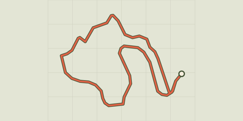 © OpenStreetMap, SRTM · OpenTopoMap (CC-BY-SA)
Arborétum de La Foux
Cévennes, Lanuéjols (30) · LoopOfficial rating by Parc national des Cévennes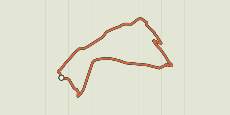 © OpenStreetMap, SRTM · OpenTopoMap (CC-BY-SA)
Malpertus
Cévennes, Dourbies (30) · LoopOfficial rating by Parc national des Cévennes