
Puecheral

Key facts
- Distance
- 11.5 km
- Ascent
- +512 m
- Descent
- −422 m
- Estimated time
- 3 hr 30
- hiking
- Difficulty
- Moderate
- official rating
- Route
- Loop
- back to the start
Profile and gradient
- under 10%
- 10 to 20%
- over 20%
Gradient along the route: 8.1 km under 10% and 3.5 km at 10 to 20%. Elevation from 551 m to 947 m over 11.5 km.
Description
Walk a part of the draille de la Margeride (drovers’ road), in the footsteps of the shepherds who used it to move their flocks from the plains to the high pastures of Lozère. Start above the holiday village “Le Pont du Tarn” (in the Azinières part of Florac) or on the square by the village hall in Bédouès (take the D998 towards Florac, at the crossing turn right towards La Baume, and then turn left at the metal bridge, to pick up the signposted walk). From the car park above the holiday village, join the road (Chemin d’Yssenges) and go uphill to a track. Your path follows the main track, but cuts off one of its hairpin bends. At the next crossing, take the track on the right. At the Col d’Issenges pass, go downhill on the main track on the right, then take a small path on the left to reach Chadenet. In Chadenet, go downhill on the small lane and take the path on the right. During the descent, you leave this to take a small steep path. At its bottom, turn right onto a road that crosses the campsite and continue on the path above the Tarn. If you started at Bédouès, turn left at the metal bridge to cross it, then left again to reach the car park by Bédouès village hall. If not, to get back to the holiday village, continue straight ahead on the road and then on the path to Azinières. Take the road opposite to reach “Le Pont du Tarn”.
Difficulty
Official rating: moderate, by Parc national des Cévennes.
Before you go
- Make sure your equipment is appropriate for the day's weather conditions. Remember that the weather changes quickly in the mountains. Take enough water, wear good shoes and put on a hat. Please close all gates and barriers after yourself.
Getting there
Start: Pont du Tarn et Bédouès, Florac Trois Rivières (48).
Sources
- Track: Parc national des Cévennes, Licence Ouverte 1.0, Licence Ouverte 1.0 (Etalab) (destination.cevennes-parcnational.fr/trek/40131-Puecheral). Time estimated by GPX Path with the Mac app rule, breaks not included.
- Official elevation gain: 512 m, Parc national des Cévennes
Nearby tracks

 © OpenStreetMap, SRTM · OpenTopoMap (CC-BY-SA)
Voie verte - Florac à Saint-Julien-d'Arpaon
Cévennes, Florac Trois Rivières (48) · Out and backOfficial rating by Parc national des Cévennes © OpenStreetMap, SRTM · OpenTopoMap (CC-BY-SA)
The clifftops
Cévennes, Florac Trois Rivières (48) · LoopOfficial rating by Parc national des Cévennes © OpenStreetMap, SRTM · OpenTopoMap (CC-BY-SA)
Florac: a spring in the town
Cévennes, Florac Trois Rivières (48) · LoopOfficial rating by Parc national des Cévennes © OpenStreetMap, SRTM · OpenTopoMap (CC-BY-SA)
Discovering the Upper Cévennes
Cévennes, Florac Trois Rivières (48) · Point to pointOfficial rating by Parc national des Cévennes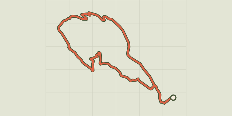 © OpenStreetMap, SRTM · OpenTopoMap (CC-BY-SA)
Gralhon
Cévennes, Florac Trois Rivières (48) · LoopOfficial rating by Parc national des Cévennes © OpenStreetMap, SRTM · OpenTopoMap (CC-BY-SA)
Variante courte des couronnes par Grimoald
Cévennes, Florac Trois Rivières (48) · LoopOfficial rating by Parc national des Cévennes