
La Chadenède, The Monks
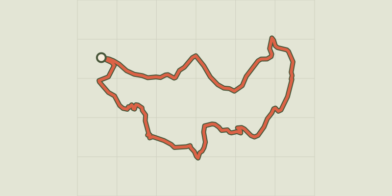
Key facts
- Distance
- 6.2 km
- Ascent
- +492 m
- Descent
- −453 m
- Estimated time
- 2 hr 40
- hiking
- Difficulty
- Difficult
- official rating
- Route
- Loop
- back to the start
Profile and gradient
- under 10%
- 10 to 20%
- over 20%
Gradient along the route: 2.9 km under 10%, 1.2 km at 10 to 20% and 2.0 km over 20%. Elevation from 503 m to 919 m over 6.2 km.
Description
The path climbs steeply inside a mini cirque to the feet of the monoliths known as The Monks. These three rocks bear witness to the sinking of the Tarn river millions of years ago. There are superb views onto the valley and the villages that stretch along the Tarn or above it, like Montbrun. From the small car park, take the lane that goes uphill between the houses. The path starts up the slope, passes in front of a cistern and continues to a junction. - Take, on the left, the steep climb until it cuts across a small ravine. Continue up the rather vertiginous steps until you reach a flat area at the foot of the monoliths. The path continues uphill in hairpin bends through the beech forest, until it comes out on the Causse plateau. - As you arrive on the plateau, turn left and follow the faint track that runs along the edge of the Causse. Go slightly downhill to a basin to reach an intersection with a more marked path. - Turn left onto this built track (low walls and, in places, stone slabs) and follow it downhill onto the Montbrun road. - Turn left onto the road and walk to the intersection before Montbrun bridge. - At the bridge, continue straight ahead towards the hamlet of La Chadenède and your departure point.
Difficulty
Official rating: difficult, by Parc national des Cévennes.
Before you go
- /!\ Some uphill sections are tricky: vertiginous and very steep. Make sure your equipment is appropriate for the day’s weather conditions. Remember that the weather changes quickly in the mountains. Take enough water, wear sturdy shoes and put on a hat. Please close all gates and barriers behind you.
Getting there
Start: La Chadenède, Gorges du Tarn Causses (48).
Sources
- Track: Parc national des Cévennes, Licence Ouverte 1.0, Licence Ouverte 1.0 (Etalab) (destination.cevennes-parcnational.fr/trek/73507-La-Chadenede%2C-sentier-des-moines). Time estimated by GPX Path with the Mac app rule, breaks not included.
- Official elevation gain: 492 m, Parc national des Cévennes
Nearby tracks
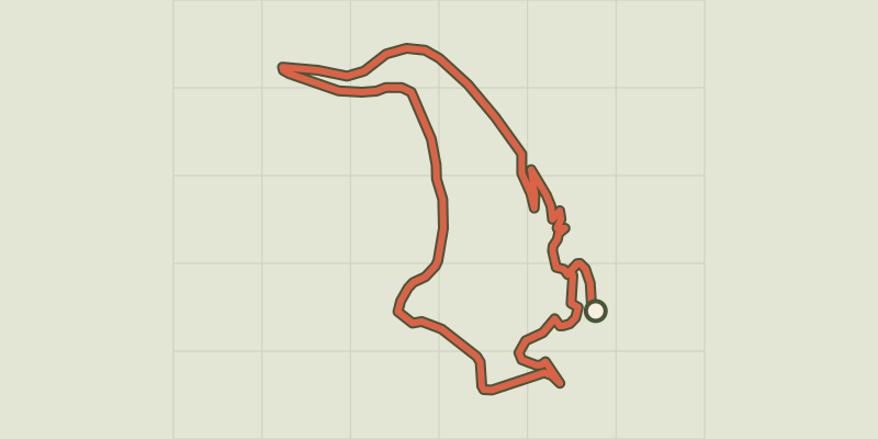
 © OpenStreetMap, SRTM · OpenTopoMap (CC-BY-SA)
Castelbouc
Cévennes, Gorges du Tarn Causses (48) · LoopOfficial rating by Parc national des Cévennes © OpenStreetMap, SRTM · OpenTopoMap (CC-BY-SA)
La Condamine
Cévennes, Gorges du Tarn Causses (48) · LoopOfficial rating by Parc national des Cévennes © OpenStreetMap, SRTM · OpenTopoMap (CC-BY-SA)
Patrimoine naturel et culturel de Boissets
Cévennes, Gorges du Tarn Causses (48) · LoopOfficial rating by Parc national des Cévennes © OpenStreetMap, SRTM · OpenTopoMap (CC-BY-SA)
From Ispagnac to the mediaeval village of Sainte-Enimie.
Cévennes, Ispagnac (48) · Point to pointOfficial rating by Parc national des Cévennes © OpenStreetMap, SRTM · OpenTopoMap (CC-BY-SA)
Rocher des Fées
Cévennes, Ispagnac (48) · LoopOfficial rating by Parc national des Cévennes © OpenStreetMap, SRTM · OpenTopoMap (CC-BY-SA)
The two bridges
Cévennes, Ispagnac (48) · LoopOfficial rating by Parc national des Cévennes