
The Bramont Valley (by mountain-bike)
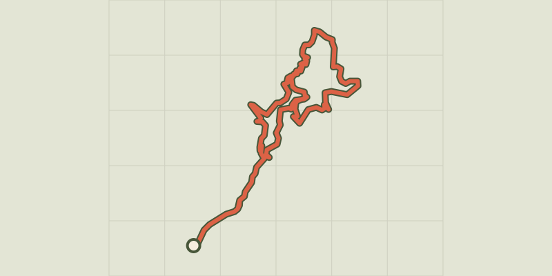
Key facts
- Distance
- 19.5 km
- Ascent
- +750 m
- Descent
- −619 m
- Estimated time
- 2 hr 40
- mtb
- Difficulty
- Difficult
- official rating
- Route
- Loop
- back to the start
Profile and gradient
- under 10%
- 10 to 20%
- over 20%
Gradient along the route: 17.6 km under 10%, 1.5 km at 10 to 20% and 0.5 km over 20%. Elevation from 511 m to 1,045 m over 19.5 km.
Description
This circuit criss-crosses the Bramont valley, passing through wetlands and sweet-chestnut groves, and villages whose houses were built from limestone and schist. Mountain-bike route # 6. Exit left from the car park and take the D 907 bis for 500 m, then take on your right a path alongside the river Tarn towards Le Cantonnet. Cross the D 907 bis and take the path on the valley floor to Pradines mill. Go uphill to Lonjagnes. N.B.: Do not enter the hamlet, but fork right beforehand towards Le Marazeil. As you exit Le Marazeil, go downhill on the road to Nozières. Cross the N 106 and take the road opposite towards Les Combettes. Go through the hamlet and continue on the track for about 1.7 km, then turn left onto a very small path to get back to Le Marazeil and Nozières. Cross under the N 106 and go downhill to Pradines mill/Le Cantonnet. Cross the N 106 and take a track along the Tarn to return to Ispagnac.
Difficulty
Official rating: difficult, by Parc national des Cévennes.
Before you go
- No cycling off-track. You are strongly advised to wear a helmet. Do not forget your repair kit and a small set of tools. Shut all gates and barriers after yourself. Slow down in farms and hamlets.
Getting there
Start: Ispagnac, parking en face de la pharmacie, Ispagnac (48).
Sources
- Track: Parc national des Cévennes, Licence Ouverte 1.0, Licence Ouverte 1.0 (Etalab) (destination.cevennes-parcnational.fr/trek/38840-Le-vallon-du-Bramont---VTT-n6). Time estimated by GPX Path with the Mac app rule, breaks not included.
- Official elevation gain: 750 m, Parc national des Cévennes
Nearby tracks

 © OpenStreetMap, SRTM · OpenTopoMap (CC-BY-SA)
The Quézac River Bend (by mountain-bike)
Cévennes, Ispagnac (48) · LoopOfficial rating by Parc national des Cévennes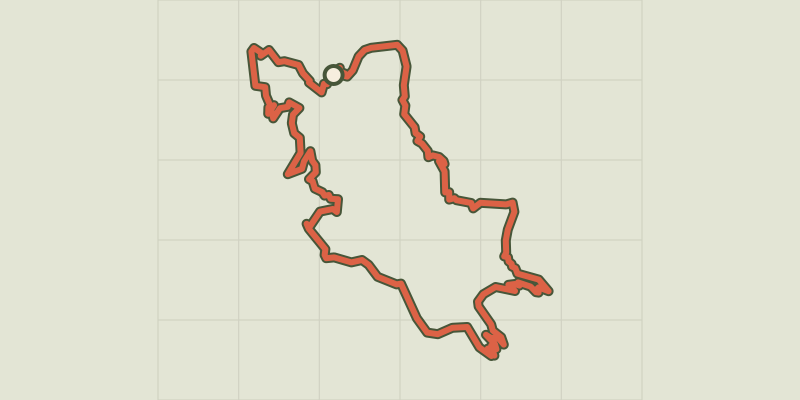 © OpenStreetMap, SRTM · OpenTopoMap (CC-BY-SA)
Le Single (by mountain-bike)
Cévennes, Ispagnac (48) · LoopOfficial rating by Parc national des Cévennes © OpenStreetMap, SRTM · OpenTopoMap (CC-BY-SA)
The gardens of Ispagnac (by mountain-bike)
Cévennes, Ispagnac (48) · LoopOfficial rating by Parc national des Cévennes © OpenStreetMap, SRTM · OpenTopoMap (CC-BY-SA)
The Causse Loop (by mountain-bike)
Cévennes, Florac Trois Rivières (48) · LoopOfficial rating by Parc national des Cévennes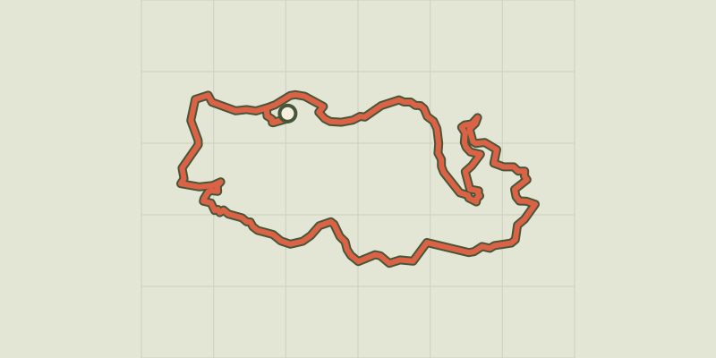 © OpenStreetMap, SRTM · OpenTopoMap (CC-BY-SA)
The Tour du Lempezou (by mountain-bike)
Cévennes, Bédouès-Cocurès (48) · LoopOfficial rating by Parc national des Cévennes © OpenStreetMap, SRTM · OpenTopoMap (CC-BY-SA)
The Tour des Puechs (by mountain-bike)
Cévennes, Bédouès-Cocurès (48) · LoopOfficial rating by Parc national des Cévennes