
The Quézac River Bend (by mountain-bike)

Key facts
- Distance
- 11.0 km
- Ascent
- +376 m
- Descent
- −335 m
- Estimated time
- 1 hr 25
- mtb
- Difficulty
- Easy
- official rating
- Route
- Loop
- back to the start
Profile and gradient
- under 10%
- 10 to 20%
- over 20%
Gradient along the route: 8.8 km under 10% and 2.2 km at 10 to 20%. Elevation from 500 m to 709 m over 11.0 km.
Description
Quézac or Ispagnac: impossible to choose between! An ideal circuit with young children, despite a few relatively short technical sections. This circuit takes you through the town gardens of Ispagnac, which are well-known for their vegetable plots, orchards, strawberries and grapes. It then leads you on a discovery trip through Quézac with its miraculous spring! Mountain-bike route #4. From the car park, go down towards the river Tarn and through the gardens. Cross the bridge to Quézac. At the town hall (mairie), turn right towards the Tarn and reach Notre-Dame de Quézac. Leave the village in the direction of the Causse Méjean. Take the track going uphill to Javillet. Continue on this track to get down to the reservoir and then to Quézac bridge. On the other side of the bridge, take a small path on the left towards Molines, In Molines, turn right onto the D 907 bis for a few metres (go past the Quézac bottling factory) and turn left to take the road leading to Espinards/Salançon. Well before Espinards, at Point 619, leave the road for a track suitable for motor vehicles on the right, which joins up with a path going downhill to Ispagnac.
Difficulty
Official rating: easy, by Parc national des Cévennes.
Before you go
- You are strongly advised to wear a helmet. The route is stony. Do not forget your repair kit and a small set of tools.
Getting there
Start: Ispagnac, Ispagnac (48).
Sources
- Track: Parc national des Cévennes, Licence Ouverte 1.0, Licence Ouverte 1.0 (Etalab) (destination.cevennes-parcnational.fr/trek/38519-Le-meandre-de-Quezac---VTT-n4). Time estimated by GPX Path with the Mac app rule, breaks not included.
- Official elevation gain: 376 m, Parc national des Cévennes
Nearby tracks
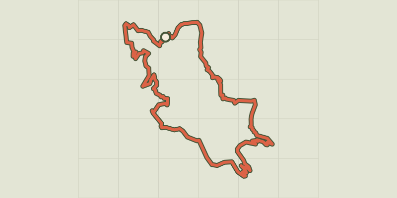
 © OpenStreetMap, SRTM · OpenTopoMap (CC-BY-SA)
Le Single (by mountain-bike)
Cévennes, Ispagnac (48) · LoopOfficial rating by Parc national des Cévennes © OpenStreetMap, SRTM · OpenTopoMap (CC-BY-SA)
The gardens of Ispagnac (by mountain-bike)
Cévennes, Ispagnac (48) · LoopOfficial rating by Parc national des Cévennes © OpenStreetMap, SRTM · OpenTopoMap (CC-BY-SA)
The Bramont Valley (by mountain-bike)
Cévennes, Ispagnac (48) · LoopOfficial rating by Parc national des Cévennes © OpenStreetMap, SRTM · OpenTopoMap (CC-BY-SA)
The Causse Loop (by mountain-bike)
Cévennes, Florac Trois Rivières (48) · LoopOfficial rating by Parc national des Cévennes © OpenStreetMap, SRTM · OpenTopoMap (CC-BY-SA)
The Tour du Lempezou (by mountain-bike)
Cévennes, Bédouès-Cocurès (48) · LoopOfficial rating by Parc national des Cévennes © OpenStreetMap, SRTM · OpenTopoMap (CC-BY-SA)
The Tour des Puechs (by mountain-bike)
Cévennes, Bédouès-Cocurès (48) · LoopOfficial rating by Parc national des Cévennes