
The cliff walk

Key facts
- Distance
- 3.5 km
- Ascent
- +106 m
- Descent
- −65 m
- Estimated time
- 55 min
- hiking
- Difficulty
- Easy
- official rating
- Route
- Loop
- back to the start
Profile and gradient
- under 10%
- 10 to 20%
- over 20%
Gradient along the route: 3.3 km under 10%, 0.1 km at 10 to 20% and 0.1 km over 20%. Elevation from 184 m to 228 m over 3.5 km.
Description
On this walk you can admire the Chassezac river from the top of the cliff. Caution: Do not approach the edge. The Bois de Païolive wood hides a landscape consisting of limestone rocks with dissolved contours, which are the foundation for a Mediterranean forest. Signposts will guide you all along this route. In the description below, the signposted place names and/or directions are given in bold italics between quotation marks : From L'Estong car park, follow the yellow paint waymarks. - At L’Estong car park, follow “La corniche 0,5 km”, - At “La Corniche”, follow “La Gleysasse 0,8 km”. - At “La Gleysasse”, follow “Parking de l'Estong 2,3 km”. - Return via “Parking de l’Estong 1,2 km”. Caution ! Do not appraoch the cliff edge. The rocks can be slippery.
Difficulty
Official rating: easy, by Parc national des Cévennes.
Before you go
- This walk, while in the “easy” category, is rocky and steep in parts and slippery when wet. You must have appropriate footwear.
- Make sure your equipment is appropriate for the day’s weather conditions. Remember that the weather changes quickly in the mountains. Take enough water, wear sturdy shoes and put on a hat. Please close any gates and barriers behind you.
- You must stay on the waymarked paths to preserve this fragile environment, which is a protected site of the European network Natura 2000 and a sensitive natural space.
Getting there
Start: Berrias et Casteljau, Berrias-et-Casteljau (07).
Sources
- Track: Parc national des Cévennes, Licence Ouverte 1.0, Licence Ouverte 1.0 (Etalab) (destination.cevennes-parcnational.fr/trek/96979-Circuit-de-la-corniche). Time estimated by GPX Path with the Mac app rule, breaks not included.
- Official elevation gain: 106 m, Parc national des Cévennes
Nearby tracks

 © OpenStreetMap, SRTM · OpenTopoMap (CC-BY-SA)
The fox’s cave
Cévennes, Berrias-et-Casteljau (07) · LoopOfficial rating by Parc national des Cévennes © OpenStreetMap, SRTM · OpenTopoMap (CC-BY-SA)
Banne
Cévennes, Banne (07) · LoopOfficial rating by Parc national des Cévennes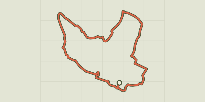 © OpenStreetMap, SRTM · OpenTopoMap (CC-BY-SA)
The wash houses (north)
Cévennes, Saint-Paul-le-Jeune (07) · LoopOfficial rating by Parc national des Cévennes © OpenStreetMap, SRTM · OpenTopoMap (CC-BY-SA)
The wash houses (south)
Cévennes, Saint-Paul-le-Jeune (07) · LoopOfficial rating by Parc national des Cévennes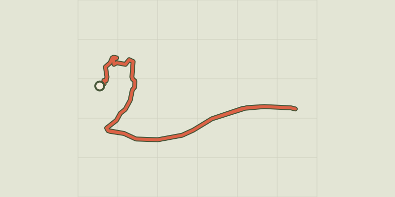 © OpenStreetMap, SRTM · OpenTopoMap (CC-BY-SA)
Sentier de découverte de la Cocalière
Cévennes, Courry (30) · Out and backOfficial rating by Parc national des Cévennes © OpenStreetMap, SRTM · OpenTopoMap (CC-BY-SA)
Viaduct of Doulovy
Cévennes, Gagnières (30) · LoopOfficial rating by Parc national des Cévennes