
The fox’s cave

Key facts
- Distance
- 1.5 km
- Ascent
- +82 m
- Descent
- −59 m
- Estimated time
- 30 min
- hiking
- Difficulty
- Moderate
- official rating
- Route
- Loop
- back to the start
Profile and gradient
- under 10%
- 10 to 20%
- over 20%
Gradient along the route: 1.0 km under 10% and 0.5 km at 10 to 20%. Elevation from 166 m to 200 m over 1.5 km.
Description
The shortest, the most playful but also the most difficult path in terms of making progress because it crosses a large number of rocks. Please note that this walk is impossible in times of rain since the rocks become far too slippery. This short walk of under 2 km has all the fun kids could ask for: open spaces, rocky blocks for playing hide-and-seek and a proper small cave to explore like adventurers! Adults will enjoy themselves too with extraordinary views of the Chassezac, an exceptional rocky landscape at the heart of the Bois de Païolive, and (last but not least) shade ! Signposts will guide you all along this route, as well as yellow painted waymarks. In the description below, the signposted place names and/or directions are given in bold italics between quotation marks : - L'Agachou - follow “le Moulinas 0,6 km” (green and yellow waymarks). - “Le Moulinas”, follow “Grotte du Renard 0,4 km” (green waymarks).
Difficulty
Official rating: moderate, by Parc national des Cévennes.
Before you go
- This walk, while in the “easy” category, is rocky and steep in parts and slippery when wet. You must have appropriate footwear.
- Make sure your equipment is appropriate for the day’s weather conditions. Remember that the weather changes quickly in the mountains. Take enough water, wear sturdy shoes and put on a hat. Please close any gates and barriers behind you.
- You must stay on the waymarked paths to preserve this fragile environment, which is a protected site of the European network Natura 2000 and a sensitive natural space.
Getting there
Start: Berrias-et-Casteljau, Berrias-et-Casteljau (07).
Sources
- Track: Parc national des Cévennes, Licence Ouverte 1.0, Licence Ouverte 1.0 (Etalab) (destination.cevennes-parcnational.fr/trek/96980-La-grotte-du-renard). Time estimated by GPX Path with the Mac app rule, breaks not included.
- Official elevation gain: 82 m, Parc national des Cévennes
Nearby tracks

 © OpenStreetMap, SRTM · OpenTopoMap (CC-BY-SA)
The cliff walk
Cévennes, Berrias-et-Casteljau (07) · LoopOfficial rating by Parc national des Cévennes © OpenStreetMap, SRTM · OpenTopoMap (CC-BY-SA)
Banne
Cévennes, Banne (07) · LoopOfficial rating by Parc national des Cévennes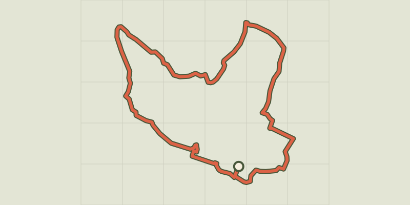 © OpenStreetMap, SRTM · OpenTopoMap (CC-BY-SA)
The wash houses (north)
Cévennes, Saint-Paul-le-Jeune (07) · LoopOfficial rating by Parc national des Cévennes © OpenStreetMap, SRTM · OpenTopoMap (CC-BY-SA)
The wash houses (south)
Cévennes, Saint-Paul-le-Jeune (07) · LoopOfficial rating by Parc national des Cévennes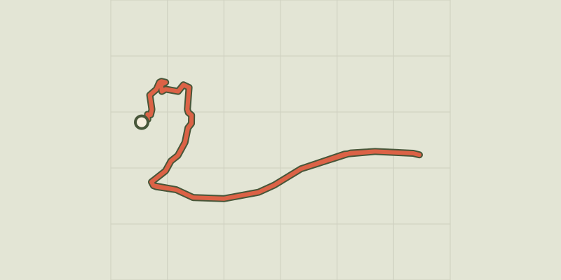 © OpenStreetMap, SRTM · OpenTopoMap (CC-BY-SA)
Sentier de découverte de la Cocalière
Cévennes, Courry (30) · Out and backOfficial rating by Parc national des Cévennes © OpenStreetMap, SRTM · OpenTopoMap (CC-BY-SA)
Viaduct of Doulovy
Cévennes, Gagnières (30) · LoopOfficial rating by Parc national des Cévennes