
The Rocher de l'Aigle (Eagle's Rock)

Key facts
- Distance
- 4.4 km
- Ascent
- +273 m
- Descent
- −238 m
- Estimated time
- 1 hr 30
- hiking
- Difficulty
- Moderate
- official rating
- Route
- Loop
- back to the start
Profile and gradient
- under 10%
- 10 to 20%
- over 20%
Gradient along the route: 2.6 km under 10%, 1.2 km at 10 to 20% and 0.5 km over 20%. Elevation from 906 m to 1,144 m over 4.4 km.
Description
This walk offers you a striking perspective onto the Vallée Borgne. Views stretch from the ocean to Mont Lozère and, on a clear day, perhaps even to the pre-Alps. Signposts will guide you all along this route, as well as yellow painted waymarks. In the description below, the signposted place names and/or directions are given in bold italics between quotation marks: From the “Col de l’Asclier”, head towards: - “La Faïsse” via the GR®61 trail towards - “La Cale” (leave the GR®61), and turn right towards - “Rocher de l’Aigle” (detour to the viewpoint). Continue to - “Col du Fageas”. Turn right onto the GR®67 trail towards - “Source de l’Asclier”, then return to “Col de l’Asclier”.
Difficulty
Official rating: moderate, by Parc national des Cévennes.
Before you go
- Make sure your equipment is appropriate for the day's weather conditions. Remember that the weather changes quickly in the mountains. Take enough water, wear solid shoes and put on a hat. Please close all gates and barriers after yourself.
Getting there
Start: Col de l'Asclier, Les Plantiers (30).
Sources
- Track: Parc national des Cévennes, Licence Ouverte 1.0, Licence Ouverte 1.0 (Etalab) (destination.cevennes-parcnational.fr/trek/39893-Le-rocher-de-l-Aigle). Time estimated by GPX Path with the Mac app rule, breaks not included.
- Official elevation gain: 273 m, Parc national des Cévennes
Nearby tracks

 © OpenStreetMap, SRTM · OpenTopoMap (CC-BY-SA)
The wood pigeon
Cévennes, Les Plantiers (30) · LoopOfficial rating by Parc national des Cévennes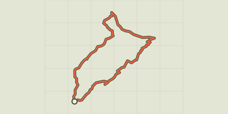 © OpenStreetMap, SRTM · OpenTopoMap (CC-BY-SA)
Sheep bridge
Cévennes, Val-d'Aigoual (30) · LoopOfficial rating by Parc national des Cévennes © OpenStreetMap, SRTM · OpenTopoMap (CC-BY-SA)
Le Soult
Cévennes, L'Estréchure (30) · LoopOfficial rating by Parc national des Cévennes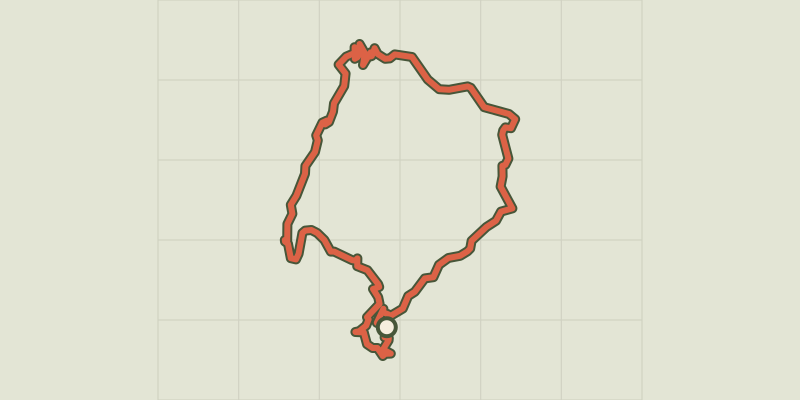 © OpenStreetMap, SRTM · OpenTopoMap (CC-BY-SA)
Chemin des fileuses
Cévennes, L'Estréchure (30) · LoopOfficial rating by Parc national des Cévennes © OpenStreetMap, SRTM · OpenTopoMap (CC-BY-SA)
St Marcel de Fontfouillouse
Cévennes, Les Plantiers (30) · LoopOfficial rating by Parc national des Cévennes © OpenStreetMap, SRTM · OpenTopoMap (CC-BY-SA)
Goats’ Bridge
Cévennes, Saumane (30) · LoopOfficial rating by Parc national des Cévennes