
The wood pigeon
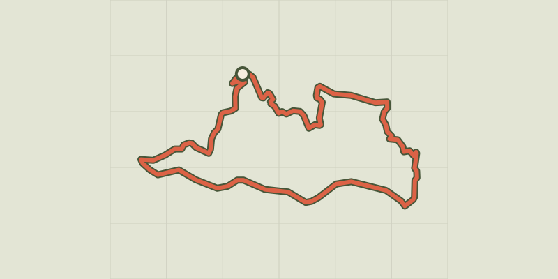
Key facts
- Distance
- 7.7 km
- Ascent
- +382 m
- Descent
- −326 m
- Estimated time
- 2 hr 25
- hiking
- Difficulty
- Easy
- official rating
- Route
- Loop
- back to the start
Profile and gradient
- under 10%
- 10 to 20%
- over 20%
Gradient along the route: 4.4 km under 10%, 2.9 km at 10 to 20% and 0.4 km over 20%. Elevation from 608 m to 925 m over 7.7 km.
Description
Everything is beautiful up here! The meadows, the ruins, the bluish mountains. Bonperrier is a magical spot for taking a break or eating your picnic. This path is living testimony to the history of the Cévennes. Livestock farmers continue to graze their herds here, thus shaping and maintaining these open spaces. Located on a ridge on a drovers’ road, Bonperrier is a rest stop for sheep and shepherds moving up to summer pastures. The views are wide-ranging: Mont Aigoual and Mont Lozère on one side and the Hérault valley on the other, with the sea in the background ! Signposts will guide you all along this route, as well as yellow painted waymarks. In the description below, the signposted place names and/or directions are given in bold italics between quotation marks: From the "La Bessède" car park, walk towards "Bonperrier" on the forest track. - At the "Bonperrier" pass, turn left onto the track towards - "Lacam", then - “Crouzinal”. Leave the ridge track and take the path on the left that goes steeply downhill, following the signs for - "les Sagnes" and "La Béssède". Return to the "La Béssède" car park.
Difficulty
Official rating: easy, by Parc national des Cévennes.
Before you go
- Before committing yourself to a circuit, ensure that it is suitable for your activity level and ability. Remember that the weather changes quickly in the mountains. Take enough water. Please close all gates and barriers behind you. Caution: Sheep pastures with patous (livestock guard dogs)! Seek advice on how to behave near these dogs from tourist offices and National Park information centres. Keep your dog on a leash.
Getting there
Start: La Bessède (Les Plantiers), Les Plantiers (30).
Sources
- Track: Parc national des Cévennes, Licence Ouverte 1.0, Licence Ouverte 1.0 (Etalab) (destination.cevennes-parcnational.fr/trek/74827-La-Palombe). Time estimated by GPX Path with the Mac app rule, breaks not included.
- Official elevation gain: 382 m, Parc national des Cévennes
Nearby tracks

 © OpenStreetMap, SRTM · OpenTopoMap (CC-BY-SA)
St Marcel de Fontfouillouse
Cévennes, Les Plantiers (30) · LoopOfficial rating by Parc national des Cévennes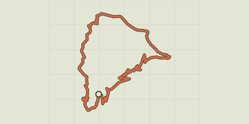 © OpenStreetMap, SRTM · OpenTopoMap (CC-BY-SA)
The cart trail
Cévennes, Val-d'Aigoual (30) · LoopOfficial rating by Parc national des Cévennes © OpenStreetMap, SRTM · OpenTopoMap (CC-BY-SA)
The Rocher de l'Aigle (Eagle's Rock)
Cévennes, Les Plantiers (30) · LoopOfficial rating by Parc national des Cévennes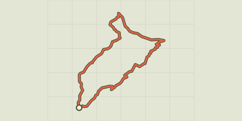 © OpenStreetMap, SRTM · OpenTopoMap (CC-BY-SA)
Sheep bridge
Cévennes, Val-d'Aigoual (30) · LoopOfficial rating by Parc national des Cévennes © OpenStreetMap, SRTM · OpenTopoMap (CC-BY-SA)
L'Exil
Cévennes, Saumane (30) · LoopOfficial rating by Parc national des Cévennes © OpenStreetMap, SRTM · OpenTopoMap (CC-BY-SA)
Goats’ Bridge
Cévennes, Saumane (30) · LoopOfficial rating by Parc national des Cévennes