
Around the lake
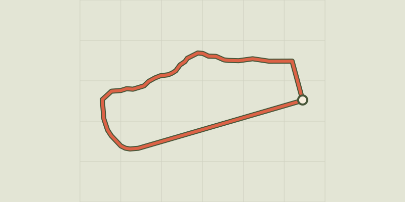
Key facts
- Distance
- 2.6 km
- Ascent
- +6 m
- Descent
- −0 m
- Estimated time
- 15 min
- trail running
- Difficulty
- Very easy
- official rating
- Route
- Loop
- back to the start
Profile and gradient
- under 10%
- 10 to 20%
- over 20%
Gradient along the route: 2.6 km under 10%. Elevation from 780 m to 784 m over 2.6 km.
Description
This route between the Lake Serre-Ponçon and Embrun Lake is the ideal introduction to the pleasures of running in a natural setting. From the car park, turn right. After the beaches, cross the Sainte Marthe stream on the footbridge. - A few metres further on, turn left onto the footpath that runs alongside the "au fil de l’eau" lake. - After reaching "les jardins du lac", take the road down to the left, then follow the itinerary. Cross the bridge and continue along the dam (information panels). At the canoeing/kayaking base. - At the end of the straight section, return to the car park at the start via the wooden platform.
Difficulty
Official rating: very easy, by Parc national des Écrins.
Getting there
Start: plan d'eau, Embrun, Embrun (05).
Sources
- Track: Parc national des Écrins, Licence Ouverte 2.0, Licence Ouverte 2.0 (Etalab) (destination.ecrins-parcnational.fr/trek/995650-Tour-du-plan-d-eau). Time estimated by GPX Path with the Mac app rule, breaks not included.
- Official elevation gain: 6 m, Parc national des Écrins
Nearby tracks

 © OpenStreetMap, SRTM · OpenTopoMap (CC-BY-SA)
Mont Guillaume
Écrins, Embrun (05) · LoopOfficial rating by Parc national des Écrins © OpenStreetMap, SRTM · OpenTopoMap (CC-BY-SA)
Pré clos
Écrins, Embrun (05) · LoopOfficial rating by Parc national des Écrins © OpenStreetMap, SRTM · OpenTopoMap (CC-BY-SA)
The Colombier lookout
Écrins, Crots (05) · LoopOfficial rating by Parc national des Écrins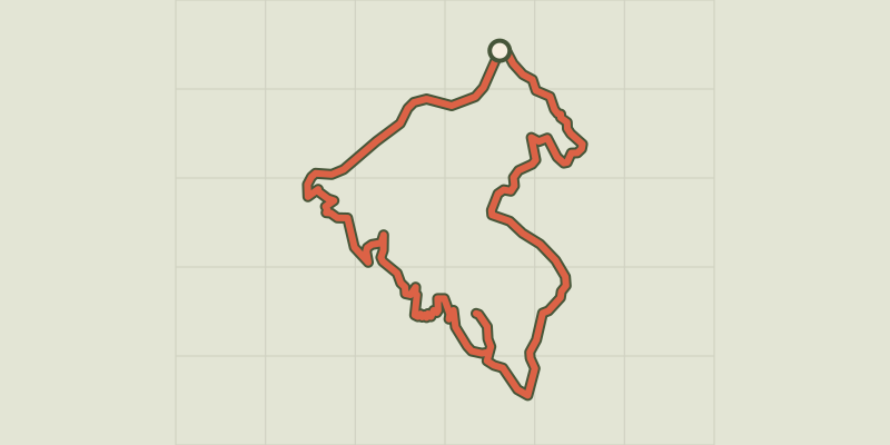 © OpenStreetMap, SRTM · OpenTopoMap (CC-BY-SA)
Pierre-Arnoux
Écrins, Savines-le-Lac (05) · LoopOfficial rating by Parc national des Écrins © OpenStreetMap, SRTM · OpenTopoMap (CC-BY-SA)
Morgon loop
Écrins, Crots (05) · LoopOfficial rating by Parc national des Écrins © OpenStreetMap, SRTM · OpenTopoMap (CC-BY-SA)
Ring road
Écrins, Crots (05) · LoopOfficial rating by Parc national des Écrins