
Morgon loop

Key facts
- Distance
- 17.4 km
- Ascent
- +1,164 m
- Descent
- −1,069 m
- Estimated time
- 2 hr 50
- trail running
- Difficulty
- Difficult
- official rating
- Route
- Loop
- back to the start
Profile and gradient
- under 10%
- 10 to 20%
- over 20%
Gradient along the route: 8.3 km under 10%, 7.0 km at 10 to 20% and 2.2 km over 20%. Elevation from 1,551 m to 2,293 m over 17.4 km.
Description
Cross the cirques of Morgon and Bragousse to reach the Pic du Morgon, with its panoramic view of the entire southern Alps and the turquoise waters of Lake Serre-Ponçon. This multi-faceted route winds its way up the slopes of the Morgon peak, the emblematic summit of Serre-Ponçon. The trails take in the host of geological curiosities scattered between the Boscodon forest and the summit of the Morgon peak. - From the car park, continue along the Sentier des Pyramides, passing 3 wooden bollards blocking the road. Continue straight ahead, leaving the track to take the path. Pass the Aiguillas lookout to reach the Pyramides lookout. From here, continue downhill on the path until you cross the stream. Continue along the path until you come to a track. Continue along the track for 1 km until you reach a crossroads. - From here, take a left fork up the path. At the Grand Clos car park, cross the car park and go through the barrier to continue along the track. When you reach the gates of Morgon, continue straight ahead downhill on the footpath, then turn left at the next crossroads. Stay on the path until you reach the summit of the Morgon. - Descend from the summit for 100m then fork right on the path until you reach the ridges. After the handrail, go left down the path as far as the lake. Circle it to the left to reach the uphill path. - At the pass turn right, then at the intersection take a left fork onto the balcony path. Stay on the path on the descent, taking a number of switchbacks. When you reach an interpretation panel on the Pic Noir, continue straight ahead to reach the car park at the Fontaine de l'ours.
Difficulty
Official rating: difficult, by Parc national des Écrins.
Getting there
Start: Fontaine de l'Ours, Crots, Crots (05).
Sources
- Track: Parc national des Écrins, Licence Ouverte 2.0, Licence Ouverte 2.0 (Etalab) (destination.ecrins-parcnational.fr/trek/995598-Boucle-du-Morgon). Time estimated by GPX Path with the Mac app rule, breaks not included.
- Official elevation gain: 1,164 m, Parc national des Écrins
Nearby tracks

 © OpenStreetMap, SRTM · OpenTopoMap (CC-BY-SA)
The Colombier lookout
Écrins, Crots (05) · LoopOfficial rating by Parc national des Écrins © OpenStreetMap, SRTM · OpenTopoMap (CC-BY-SA)
Ring road
Écrins, Crots (05) · LoopOfficial rating by Parc national des Écrins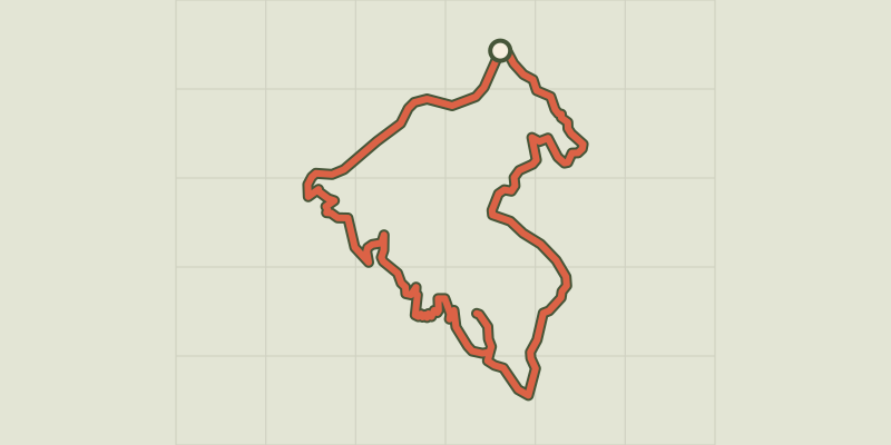 © OpenStreetMap, SRTM · OpenTopoMap (CC-BY-SA)
Pierre-Arnoux
Écrins, Savines-le-Lac (05) · LoopOfficial rating by Parc national des Écrins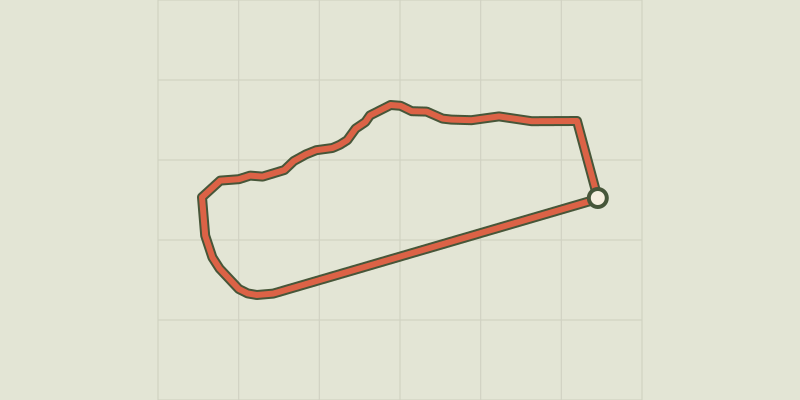 © OpenStreetMap, SRTM · OpenTopoMap (CC-BY-SA)
Around the lake
Écrins, Embrun (05) · LoopOfficial rating by Parc national des Écrins © OpenStreetMap, SRTM · OpenTopoMap (CC-BY-SA)
Mont Guillaume
Écrins, Embrun (05) · LoopOfficial rating by Parc national des Écrins © OpenStreetMap, SRTM · OpenTopoMap (CC-BY-SA)
Pré clos
Écrins, Embrun (05) · LoopOfficial rating by Parc national des Écrins