
Pierre-Arnoux

Key facts
- Distance
- 7.9 km
- Ascent
- +513 m
- Descent
- −504 m
- Estimated time
- 1 hr 20
- trail running
- Difficulty
- Easy
- official rating
- Route
- Loop
- back to the start
Profile and gradient
- under 10%
- 10 to 20%
- over 20%
Gradient along the route: 3.0 km under 10%, 3.6 km at 10 to 20% and 1.4 km over 20%. Elevation from 792 m to 1,301 m over 7.9 km.
Description
Discover a whole new world in the shade beneath the forest. Cross it to discover the treasures of this place with its breathtaking views over Lake Serre-Ponçon. 1. Take the path along the right-hand side of the road for 1km until you reach the entrance to the camp-site. From the car park, turn left onto the forest path. A few metres further on, take the path on the left, then turn right at the next crossroads. Go straight on at the next intersection. 2. On the forest road, turn left and a few metres further down take the path on the right. Follow the GRP then take the right-hand path at the next junction. Back on the forest track, turn right. A little further up, take the left-hand path. Continue through the forest until you return to the track, go right then take the path opposite. 3. Once you reach the top of the clearing, you're in Pierre Arnoux. Take the left-hand path from the hut to the lookout and back. Back at the hut, take the outward path through the silver birch until you reach the car park. Then turn left at "l'Empouyère". 4. When you reach the spring, take the left-hand path downhill. Go straight across the forest track twice. Turn right at the fitness trail, then left through the undergrowth. From here, follow the Barnnafret stream back to Savines-le-lac and the start.
Difficulty
Official rating: easy, by Parc national des Écrins.
Getting there
Start: Les Chaumettes, Savines-le-Lac, Savines-le-Lac (05).
Sources
- Track: Parc national des Écrins, Licence Ouverte 2.0, Licence Ouverte 2.0 (Etalab) (destination.ecrins-parcnational.fr/trek/995597-Pierre-Arnoux). Time estimated by GPX Path with the Mac app rule, breaks not included.
- Official elevation gain: 513 m, Parc national des Écrins
Nearby tracks

 © OpenStreetMap, SRTM · OpenTopoMap (CC-BY-SA)
The Colombier lookout
Écrins, Crots (05) · LoopOfficial rating by Parc national des Écrins © OpenStreetMap, SRTM · OpenTopoMap (CC-BY-SA)
Morgon loop
Écrins, Crots (05) · LoopOfficial rating by Parc national des Écrins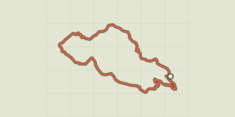 © OpenStreetMap, SRTM · OpenTopoMap (CC-BY-SA)
Aiguilles de Chabrières
Écrins, Réallon (05) · LoopOfficial rating by Parc national des Écrins © OpenStreetMap, SRTM · OpenTopoMap (CC-BY-SA)
Saint-Apollinaire lake
Écrins, Réallon (05) · LoopOfficial rating by Parc national des Écrins © OpenStreetMap, SRTM · OpenTopoMap (CC-BY-SA)
The chalets of Vaucluse
Écrins, Réallon (05) · LoopOfficial rating by Parc national des Écrins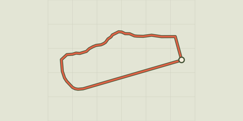 © OpenStreetMap, SRTM · OpenTopoMap (CC-BY-SA)
Around the lake
Écrins, Embrun (05) · LoopOfficial rating by Parc national des Écrins