
Bans Refuge

Key facts
- Distance
- 8.3 km
- Ascent
- +472 m
- Descent
- −462 m
- Estimated time
- 2 hr 55
- hiking
- Difficulty
- Moderate
- official rating
- Route
- Out and back
- same way back
Profile and gradient
- under 10%
- 10 to 20%
- over 20%
Gradient along the route: 3.7 km under 10%, 4.1 km at 10 to 20% and 0.4 km over 20%. Elevation from 1,615 m to 2,079 m over 8.3 km.
Description
In a breathtaking setting this family hike takes you to a welcoming refuge. « In the month of June, it is frequent that patches of snow remain at the edge of the track leading to Bans Refuge. One day, wanting to photograph a chamois, a hiker injured himself on a boulder passing over a patch of snow. We had to alert the ambulance crew who had to come and get him with the helicopter. » Blandine Delenatte and Jean-Philippe Telmon, park rangers in Vallouise Take the track of the car park to the left. - At the first crossroads, take the track to the right which is the only way to the Bans Refuge. It goes beside the Bans torrents on the left bank, firstly beside the water, and then an elevated path. In the sunshine, the path crosses a variety of environments, several streams and passes in front of a small pond, an ideal spot for a rest before entering a more mineral atmosphere. The route does not present any particular difficulties; only a short passage equipped with cables on a rocky shelf under the refuge. The cirque of high mountains and glaciers at the bottom of this splendid wild valley give a very « alpine » atmosphere to this easy hike. - The descent follows the same path.
Difficulty
Official rating: moderate, by Parc national des Écrins.
Before you go
- Follow the itinerary and avoid crossing patches of snow.
Getting there
Start: Entre-les-Aygues, Vallouise, Vallouise-Pelvoux (05).
Sources
- Track: Parc national des Écrins, Licence Ouverte 2.0, Licence Ouverte 2.0 (Etalab) (destination.ecrins-parcnational.fr/trek/903318-Le-refuge-des-Bans). Time estimated by GPX Path with the Mac app rule, breaks not included.
- Official elevation gain: 472 m, Parc national des Écrins
Nearby tracks

 © OpenStreetMap, SRTM · OpenTopoMap (CC-BY-SA)
Col de l'Aup Martin
Écrins, Vallouise-Pelvoux (05) · Out and backOfficial rating by Parc national des Écrins © OpenStreetMap, SRTM · OpenTopoMap (CC-BY-SA)
La cabane de Jas Lacroix
Écrins, Vallouise-Pelvoux (05) · Out and backOfficial rating by Parc national des Écrins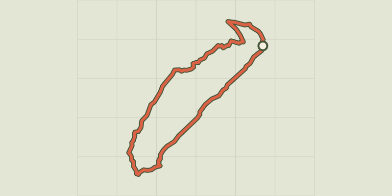 © OpenStreetMap, SRTM · OpenTopoMap (CC-BY-SA)
La cabane des Grands Plans
Écrins, Puy-Saint-Vincent (05) · LoopOfficial rating by Parc national des Écrins © OpenStreetMap, SRTM · OpenTopoMap (CC-BY-SA)
La Blanche
Écrins, Vallouise-Pelvoux (05) · Out and backOfficial rating by Parc national des Écrins © OpenStreetMap, SRTM · OpenTopoMap (CC-BY-SA)
Puy Aillaud Lake
Écrins, Vallouise-Pelvoux (05) · Out and backOfficial rating by Parc national des Écrins © OpenStreetMap, SRTM · OpenTopoMap (CC-BY-SA)
Le Pas de Cavale
Écrins, L'Argentière-la-Bessée (05) · Out and backOfficial rating by Parc national des Écrins