
La cabane de Jas Lacroix

Key facts
- Distance
- 8.3 km
- Ascent
- +348 m
- Descent
- −337 m
- Estimated time
- 2 hr 35
- hiking
- Difficulty
- Easy
- official rating
- Route
- Out and back
- same way back
Profile and gradient
- under 10%
- 10 to 20%
- over 20%
Gradient along the route: 5.4 km under 10% and 2.9 km at 10 to 20%. Elevation from 1,607 m to 1,940 m over 8.3 km.
Description
An easy, cool walk to the Jas-Lacroix pastoral hut, along the Selle stream. "In the spring, before the flocks arrive in the valley, it is not rare to see a chamois in front of the hut in the early hours. They come to lick the stones on which the shepherd has put salt for the sheep during the summer." Blandine Delanette, Warden for the Vallouise area. Take the footpath to left at the end of the carpark. - At the first crossing, take the footpath on the left (GR54) towards "Col de l'Aup Martin" cross the bridge over the Onde stream. Follow the cairns in the riverbed of the Onde to join the footpath that follows the Selle stream. This will take you to the pastoral hut next to a shelter for walkers of the GR54 trail (Tour of l'Oisans and Les Ecrins). - The return trip will be by the same path. It is also possible to continue towards l’Aup Martin pass, which is the highest point of the GR54 trail at 2761 m in altitude.
Difficulty
Official rating: easy, by Parc national des Écrins.
Before you go
- The road leading to the car park is closed in winter and opens earlier or later in in the spring depending on avalanche activity. Please do not disturb the work of the shepherd and respect her privacy at the pastoral hut.
Getting there
Start: Entre les Aygues, Vallouise, Vallouise-Pelvoux (05).
Sources
- Track: Parc national des Écrins, Licence Ouverte 2.0, Licence Ouverte 2.0 (Etalab) (destination.ecrins-parcnational.fr/trek/903320-La-cabane-de-Jas-Lacroix). Time estimated by GPX Path with the Mac app rule, breaks not included.
- Official elevation gain: 348 m, Parc national des Écrins
Nearby tracks

 © OpenStreetMap, SRTM · OpenTopoMap (CC-BY-SA)
Col de l'Aup Martin
Écrins, Vallouise-Pelvoux (05) · Out and backOfficial rating by Parc national des Écrins © OpenStreetMap, SRTM · OpenTopoMap (CC-BY-SA)
Bans Refuge
Écrins, Vallouise-Pelvoux (05) · Out and backOfficial rating by Parc national des Écrins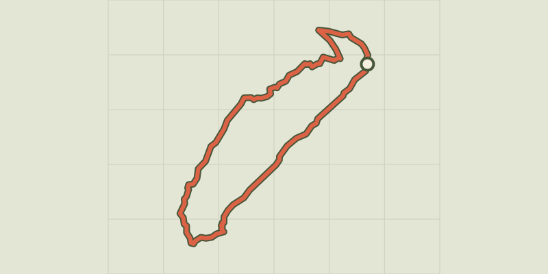 © OpenStreetMap, SRTM · OpenTopoMap (CC-BY-SA)
La cabane des Grands Plans
Écrins, Puy-Saint-Vincent (05) · LoopOfficial rating by Parc national des Écrins © OpenStreetMap, SRTM · OpenTopoMap (CC-BY-SA)
La Blanche
Écrins, Vallouise-Pelvoux (05) · Out and backOfficial rating by Parc national des Écrins © OpenStreetMap, SRTM · OpenTopoMap (CC-BY-SA)
Puy Aillaud Lake
Écrins, Vallouise-Pelvoux (05) · Out and backOfficial rating by Parc national des Écrins © OpenStreetMap, SRTM · OpenTopoMap (CC-BY-SA)
Le Pas de Cavale
Écrins, L'Argentière-la-Bessée (05) · Out and backOfficial rating by Parc national des Écrins