
Carrelet Refuge

Key facts
- Distance
- 10.1 km
- Ascent
- +527 m
- Descent
- −479 m
- Estimated time
- 3 hr 15
- hiking
- Difficulty
- Moderate
- official rating
- Route
- Out and back
- same way back
Profile and gradient
- under 10%
- 10 to 20%
- over 20%
Gradient along the route: 7.1 km under 10%, 2.5 km at 10 to 20% and 0.5 km over 20%. Elevation from 1,673 m to 2,012 m over 10.1 km.
Description
A family hike beside the Vénéon which penetrates in to the heart of the massif enables you to discover an alpine panorama... At the bottom of a rocky valley, the track goes up to the source of the Vénéon and comes out on the Carrelet plain... The verdure of this "plain «contrasts with the abrupt clefts of the Ailefroide which dominate the refuge with a drop of 2000 m. The track has been subject to a lot of restoration work by the teams in the National Park national to make it accessible and pleasurable for hikers. Either take the path at the bottom of the car park on the edge of the Vénéon torrent or in the village passing the Maison de la Montagne... The itinerary follows the right bank of the Vénéon crossing several secondary torrents equipped with walkways in order to reach Carrelet refuge. The installation of a stone pavement on parts of the track has enabled us to fight against erosion linked to hikers crossing the stream. Return by using the same itinerary.
Difficulty
Official rating: moderate, by Parc national des Écrins.
Before you go
- On busy days, parking is possible at the entrance to the hamlet just before the bridge.
Getting there
Start: Pont de l'ancien camping, Saint-Christophe-en-Oisans (38).
Sources
- Track: Parc national des Écrins, Licence Ouverte 2.0, Licence Ouverte 2.0 (Etalab) (destination.ecrins-parcnational.fr/trek/903478-Le-refuge-du-Carrelet). Time estimated by GPX Path with the Mac app rule, breaks not included.
- Official elevation gain: 527 m, Parc national des Écrins
Nearby tracks

 © OpenStreetMap, SRTM · OpenTopoMap (CC-BY-SA)
Le Châtelleret
Écrins, Saint-Christophe-en-Oisans (38) · Out and backOfficial rating by Parc national des Écrins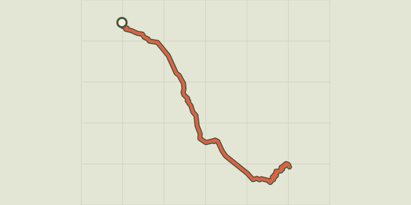 © OpenStreetMap, SRTM · OpenTopoMap (CC-BY-SA)
The Refuge Temple Écrins
Écrins, Saint-Christophe-en-Oisans (38) · Out and backOfficial rating by Parc national des Écrins © OpenStreetMap, SRTM · OpenTopoMap (CC-BY-SA)
From La Bérarde to the Châtelleret refuge
Écrins, Saint-Christophe-en-Oisans (38) · Point to pointOfficial rating by Parc national des Écrins © OpenStreetMap, SRTM · OpenTopoMap (CC-BY-SA)
Le refuge du Soreiller
Écrins, Saint-Christophe-en-Oisans (38) · Out and backOfficial rating by Parc national des Écrins © OpenStreetMap, SRTM · OpenTopoMap (CC-BY-SA)
Le vallon des Étages
Écrins, Saint-Christophe-en-Oisans (38) · LoopOfficial rating by Parc national des Écrins © OpenStreetMap, SRTM · OpenTopoMap (CC-BY-SA)
The Lac des Fétoules and La Lavey
Écrins, Saint-Christophe-en-Oisans (38) · LoopOfficial rating by Parc national des Écrins