
From La Bérarde to the Châtelleret refuge

Key facts
- Distance
- 6.0 km
- Ascent
- +509 m
- Descent
- −0 m
- Estimated time
- 2 hr 05
- hiking
- Difficulty
- Moderate
- official rating
- Route
- Point to point
- ends elsewhere
Profile and gradient
- under 10%
- 10 to 20%
- over 20%
Gradient along the route: 4.5 km under 10%, 1.0 km at 10 to 20% and 0.4 km over 20%. Elevation from 1,715 m to 2,213 m over 6.0 km.
Description
This first stage begins from La Bérarde and continues towards La Meije and the beautiful valley of Etançons. Here we are at the heart of the Oisans, the birthplace of Alpine mountain climbing in the classic era. Many others have followed this path up towards the Etançons valley before us. The path follows the stream of the same name, which takes its source at the foot of La Meije, a mysterious mountain in the Oisans, and whose summit can be seen with its highly characteristic square glacier. The landscape is wild, but the beauty of the area is overwhelming and the panorama from the Plaret waterfalls rewards the gutsy hiker. From La Bérarde car park, return to the entrance of the village, cross the bridge and turn right onto the path towards Tête de la Maye (signposted). After a short, steep slope to warm up, the path goes into the Etançons valley, where it is flatter and wider. Stay on the left bank of the mountain stream towards the Chatelleret refuge (signposted). At the Plaret Gény footbridge, cross the stream and go up below the Plaret corrie. The ascent is steep with a lot of twists and turns. From the top, the view is superb. The path goes down further on after following the cairns on the right and passing a footbridge and waterfalls. The descent is easy. There are then two slightly higher sections with reassuring handrails. Once at the bottom of the valley, take the path running alongside the stream towards the refuge, which can already be clearly seen.
Difficulty
Official rating: moderate, by Parc national des Écrins.
Getting there
Start: La Bérarde, Saint-Christophe-en-Oisans (38).
Sources
- Track: Parc national des Écrins, Licence Ouverte 2.0, Licence Ouverte 2.0 (Etalab) (destination.ecrins-parcnational.fr/trek/998082-De-la-Berarde-au-refuge-du-Chatelleret-(copy)). Time estimated by GPX Path with the Mac app rule, breaks not included.
- Official elevation gain: 509 m, Parc national des Écrins
Nearby tracks

 © OpenStreetMap, SRTM · OpenTopoMap (CC-BY-SA)
Carrelet Refuge
Écrins, Saint-Christophe-en-Oisans (38) · Out and backOfficial rating by Parc national des Écrins © OpenStreetMap, SRTM · OpenTopoMap (CC-BY-SA)
Le Châtelleret
Écrins, Saint-Christophe-en-Oisans (38) · Out and backOfficial rating by Parc national des Écrins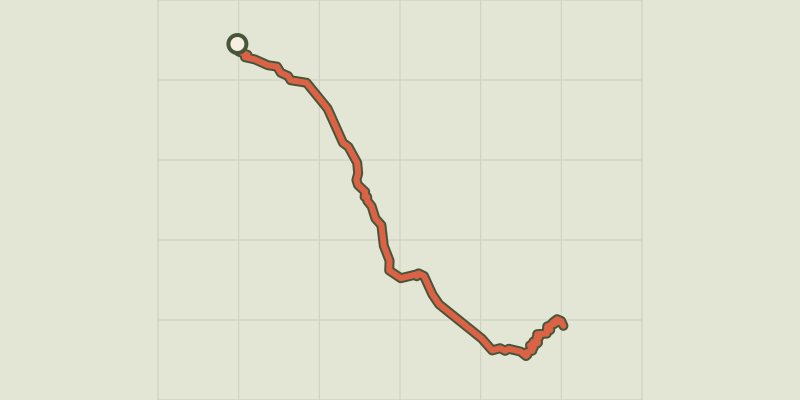 © OpenStreetMap, SRTM · OpenTopoMap (CC-BY-SA)
The Refuge Temple Écrins
Écrins, Saint-Christophe-en-Oisans (38) · Out and backOfficial rating by Parc national des Écrins © OpenStreetMap, SRTM · OpenTopoMap (CC-BY-SA)
Le refuge du Soreiller
Écrins, Saint-Christophe-en-Oisans (38) · Out and backOfficial rating by Parc national des Écrins © OpenStreetMap, SRTM · OpenTopoMap (CC-BY-SA)
Le vallon des Étages
Écrins, Saint-Christophe-en-Oisans (38) · LoopOfficial rating by Parc national des Écrins © OpenStreetMap, SRTM · OpenTopoMap (CC-BY-SA)
The Lac des Fétoules and La Lavey
Écrins, Saint-Christophe-en-Oisans (38) · LoopOfficial rating by Parc national des Écrins