
The Refuge Temple Écrins
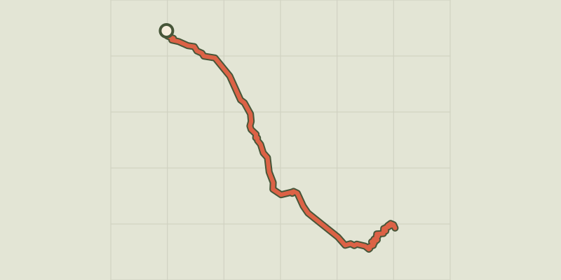
Key facts
- Distance
- 15.5 km
- Ascent
- +1,023 m
- Descent
- −976 m
- Estimated time
- 5 hr 55
- hiking
- Difficulty
- Difficult
- official rating
- Route
- Out and back
- same way back
Profile and gradient
- under 10%
- 10 to 20%
- over 20%
Gradient along the route: 7.8 km under 10%, 3.9 km at 10 to 20% and 3.9 km over 20%. Elevation from 1,672 m to 2,402 m over 15.5 km.
Description
This itinerary takes you to the Refuge Temple Écrins and offers a magnificent panoramic view over the legendary peaks of Les Écrins, a major mountaineering destination. An excursion with a near-Himalayan backdrop, which hugs the Vénon and climbs up through the pines to the Refuge Temple-Écrins, which stands at the foot of the Pilatte glacier. - From the FFCAM buildings and the Mountain Centre ("Maison de la Montagne"), join the path running along the Vénéon towards the Refuge de Temple-Écrins (sign). The path gradually rises along the left-hand bank of the Vénéon, running for 4 kilometres along the valley bottom. - Continue past the Refuge du Carrelet and after a short distance, turn left towards the Refuge de Temple-Écrins (sign). You rise steadily through the woods of Le Carrelet, with some large stone steps. - As you emerge from the forest onto grassy slopes, the landscape opens up before you and the refuge is just 15 minutes away. - To return, follow the outward route in reverse.
Difficulty
Official rating: difficult, by Parc national des Écrins.
Getting there
Start: Pont de l'ancien camping, Saint-Christophe-en-Oisans (38).
Sources
- Track: Parc national des Écrins, Licence Ouverte 2.0, Licence Ouverte 2.0 (Etalab) (destination.ecrins-parcnational.fr/trek/903482-Le-refuge-Temple-Ecrins). Time estimated by GPX Path with the Mac app rule, breaks not included.
- Official elevation gain: 1,023 m, Parc national des Écrins
Nearby tracks

 © OpenStreetMap, SRTM · OpenTopoMap (CC-BY-SA)
Le Châtelleret
Écrins, Saint-Christophe-en-Oisans (38) · Out and backOfficial rating by Parc national des Écrins © OpenStreetMap, SRTM · OpenTopoMap (CC-BY-SA)
Carrelet Refuge
Écrins, Saint-Christophe-en-Oisans (38) · Out and backOfficial rating by Parc national des Écrins © OpenStreetMap, SRTM · OpenTopoMap (CC-BY-SA)
From La Bérarde to the Châtelleret refuge
Écrins, Saint-Christophe-en-Oisans (38) · Point to pointOfficial rating by Parc national des Écrins © OpenStreetMap, SRTM · OpenTopoMap (CC-BY-SA)
Le refuge du Soreiller
Écrins, Saint-Christophe-en-Oisans (38) · Out and backOfficial rating by Parc national des Écrins © OpenStreetMap, SRTM · OpenTopoMap (CC-BY-SA)
Le vallon des Étages
Écrins, Saint-Christophe-en-Oisans (38) · LoopOfficial rating by Parc national des Écrins © OpenStreetMap, SRTM · OpenTopoMap (CC-BY-SA)
The Lac des Fétoules and La Lavey
Écrins, Saint-Christophe-en-Oisans (38) · LoopOfficial rating by Parc national des Écrins