
Croix Saint-Philippe

Key facts
- Distance
- 5.5 km
- Ascent
- +271 m
- Descent
- −239 m
- Estimated time
- 1 hr 45
- hiking
- Difficulty
- Easy
- official rating
- Route
- Out and back
- same way back
Profile and gradient
- under 10%
- 10 to 20%
- over 20%
Gradient along the route: 3.4 km under 10%, 1.8 km at 10 to 20% and 0.3 km over 20%. Elevation from 1,562 m to 1,700 m over 5.5 km.
Description
A family hike towards the exceptional panorama of La Croix St Philippe above Ancelle. On the way, you will come across the ruins of a medieval village, as well as Lake Faudon, two sites that are rich in legends and mystery. The little bit extra? Sweet raspberries growing near the footpath - delicious! Leaving from Col de Moissière, head towards Le Sapet as far as Arto. Continue towards Lac de Faudon, then as far as Faudon, where there is an archaeological site. Head towards Saint Philippe via Coulon du Château and Les Dents. La Croix St Philippe offers a wonderful panorama over the Gapençais basin. Return down the same path as far as Les Dents and then head for Chatégré and Col de Moissière via Collet des Auréous and Arto. Go back to the car park.
Difficulty
Official rating: easy, by Parc national des Écrins.
Getting there
Start: Col de Moissière, Ancelle, Ancelle (05).
Sources
- Track: Parc national des Écrins, Licence Ouverte 2.0, Licence Ouverte 2.0 (Etalab) (destination.ecrins-parcnational.fr/trek/950486-Croix-Saint-Philippe). Time estimated by GPX Path with the Mac app rule, breaks not included.
- Official elevation gain: 271 m, Parc national des Écrins
Nearby tracks

 © OpenStreetMap, SRTM · OpenTopoMap (CC-BY-SA)
Le Piolit
Écrins, Ancelle (05) · Out and backOfficial rating by Parc national des Écrins © OpenStreetMap, SRTM · OpenTopoMap (CC-BY-SA)
La Pinouse
Écrins, Ancelle (05) · LoopOfficial rating by Parc national des Écrins © OpenStreetMap, SRTM · OpenTopoMap (CC-BY-SA)
The big Cuchon/Rouanne circuit
Écrins, Saint-Léger-les-Mélèzes (05) · LoopOfficial rating by Parc national des Écrins © OpenStreetMap, SRTM · OpenTopoMap (CC-BY-SA)
Le Cuchon
Écrins, Saint-Léger-les-Mélèzes (05) · Out and backOfficial rating by Parc national des Écrins © OpenStreetMap, SRTM · OpenTopoMap (CC-BY-SA)
Le Pré d'Antoni cabin
Écrins, Réallon (05) · Out and backOfficial rating by Parc national des Écrins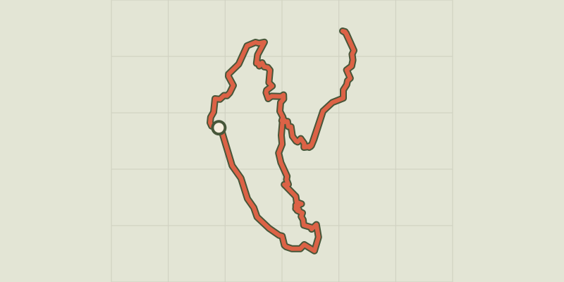 © OpenStreetMap, SRTM · OpenTopoMap (CC-BY-SA)
Balcon de l'Oussella and Quille du Laus
Écrins, Réallon (05) · LoopOfficial rating by Parc national des Écrins