
Le Pré d'Antoni cabin

Key facts
- Distance
- 8.8 km
- Ascent
- +447 m
- Descent
- −390 m
- Estimated time
- 2 hr 45
- hiking
- Difficulty
- Easy
- official rating
- Route
- Out and back
- same way back
Profile and gradient
- under 10%
- 10 to 20%
- over 20%
Gradient along the route: 4.8 km under 10%, 3.5 km at 10 to 20% and 0.4 km over 20%. Elevation from 1,472 m to 1,852 m over 8.8 km.
Description
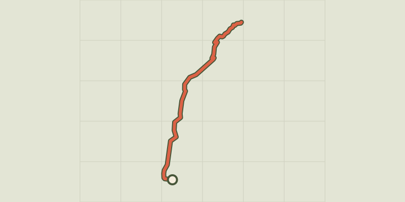
On the way, the cool grass of the green meadows attracts hikers, who never fail to take a break there. In the valley are contrasts and water, with each spring flower adding its special note. On the way towards the Chargès corrie, a sweet melody runs through the air from the herds grazing peacefully nearby. A few shy chamois may be glimpsed in the hollows of the green slopes. From Les Gourniers car park, cross the village and follow the path towards the Saint-Marcellin Chapel. The path then makes its way around the mountainside to a footbridge (Pont la Claie), then rises to the Pré d’Antoni cabin.
Difficulty
Official rating: easy, by Parc national des Écrins.
Before you go
- Between Chapelle-Saint-Marcellin and the Claie bridge, there is a danger of falling stones, especially during strong rainfall. The route is not recommended in this case.
Getting there
Start: Les Gourniers, Réallon, Réallon (05).
Sources
- Track: Parc national des Écrins, Licence Ouverte 2.0, Licence Ouverte 2.0 (Etalab) (destination.ecrins-parcnational.fr/trek/904080-Cabane-du-Pre-d-Antoni). Time estimated by GPX Path with the Mac app rule, breaks not included.
- Official elevation gain: 447 m, Parc national des Écrins
Nearby tracks
 © OpenStreetMap, SRTM · OpenTopoMap (CC-BY-SA)
The chapel at Saint-Marcellin
Écrins, Réallon (05) · Out and backOfficial rating by Parc national des Écrins © OpenStreetMap, SRTM · OpenTopoMap (CC-BY-SA)
Chargès Valley
Écrins, Réallon (05) · Out and backOfficial rating by Parc national des Écrins © OpenStreetMap, SRTM · OpenTopoMap (CC-BY-SA)
The Chargès source
Écrins, Réallon (05) · Out and backOfficial rating by Parc national des Écrins © OpenStreetMap, SRTM · OpenTopoMap (CC-BY-SA)
Oussella loop
Écrins, Réallon (05) · LoopOfficial rating by Parc national des Écrins © OpenStreetMap, SRTM · OpenTopoMap (CC-BY-SA)
Les Gourniers discovery path
Écrins, Réallon (05) · LoopOfficial rating by Parc national des Écrins © OpenStreetMap, SRTM · OpenTopoMap (CC-BY-SA)
Balcon de l'Oussella and Quille du Laus
Écrins, Réallon (05) · LoopOfficial rating by Parc national des Écrins