
Le Piolit

Key facts
- Distance
- 16.2 km
- Ascent
- +1,178 m
- Descent
- −1,148 m
- Estimated time
- 6 hr 45
- hiking
- Difficulty
- Difficult
- official rating
- Route
- Out and back
- same way back
Profile and gradient
- under 10%
- 10 to 20%
- over 20%
Gradient along the route: 4.1 km under 10%, 11.4 km at 10 to 20% and 0.8 km over 20%. Elevation from 1,467 m to 2,438 m over 16.2 km.
Description
An energetic hike on the sunny slopes of Le Piolit. In late spring, the steep slopes are covered in flowers, as well as butterflies and foraging insects of all kinds. The finale takes place on a crest and is quite steep, but the reward is a magnificent view from the Gapençais to the Serre-Ponçon lake! Leaving from the Col de Moissière car park, take the road towards Le Sapet. At Arto, continue along the road towards Baillenq. Take the forest path towards “Torrent du Sapet“ (GR 50). The path winds its way up to Le Piolit. The last section runs along a crest, providing a superb panorama over the Serre Ponçon lake. Go back the same way.
Difficulty
Official rating: difficult, by Parc national des Écrins.
Getting there
Start: Col de Moissière, Ancelle, Ancelle (05).
Sources
- Track: Parc national des Écrins, Licence Ouverte 2.0, Licence Ouverte 2.0 (Etalab) (destination.ecrins-parcnational.fr/trek/950305-Le-Piolit). Time estimated by GPX Path with the Mac app rule, breaks not included.
- Official elevation gain: 1,178 m, Parc national des Écrins
Nearby tracks

 © OpenStreetMap, SRTM · OpenTopoMap (CC-BY-SA)
Croix Saint-Philippe
Écrins, Ancelle (05) · Out and backOfficial rating by Parc national des Écrins © OpenStreetMap, SRTM · OpenTopoMap (CC-BY-SA)
La Pinouse
Écrins, Ancelle (05) · LoopOfficial rating by Parc national des Écrins © OpenStreetMap, SRTM · OpenTopoMap (CC-BY-SA)
The big Cuchon/Rouanne circuit
Écrins, Saint-Léger-les-Mélèzes (05) · LoopOfficial rating by Parc national des Écrins © OpenStreetMap, SRTM · OpenTopoMap (CC-BY-SA)
Le Cuchon
Écrins, Saint-Léger-les-Mélèzes (05) · Out and backOfficial rating by Parc national des Écrins © OpenStreetMap, SRTM · OpenTopoMap (CC-BY-SA)
Le Pré d'Antoni cabin
Écrins, Réallon (05) · Out and backOfficial rating by Parc national des Écrins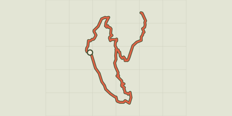 © OpenStreetMap, SRTM · OpenTopoMap (CC-BY-SA)
Balcon de l'Oussella and Quille du Laus
Écrins, Réallon (05) · LoopOfficial rating by Parc national des Écrins