
Eychauda Lake
Key facts
- Distance
- 11.6 km
- Ascent
- +823 m
- Descent
- −815 m
- Estimated time
- 4 hr 50
- hiking
- Difficulty
- Moderate
- official rating
- Route
- Out and back
- same way back
Profile and gradient
- under 10%
- 10 to 20%
- over 20%
Gradient along the route: 2.9 km under 10%, 5.8 km at 10 to 20% and 2.9 km over 20%. Elevation from 1,718 m to 2,537 m over 11.6 km.
Description
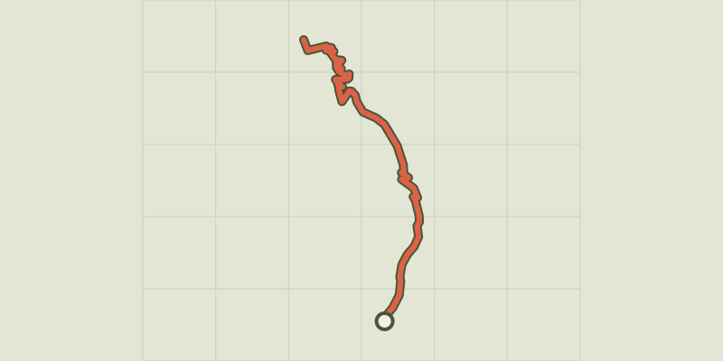
A long valley where the sheep spread out, an ascent zig-zagging across a prairie then, hidden behind a cross cliff, the reward: the lake with milky waters. A beautiful journey! "The winter had been long. At the beginning of July, the lake was still snowy but little by little the ice had melted, dislocated. In this beginning of August I went up saying to myself: right, there, it’s finished, there’s no more ice! But no! In the quietness of morning, icebergs were still floating, debonair. This lake certainly deserves its description as a glacial!" Marie-Geneviève Nicolas, park ranger in Vallouise From Chambran car park, follow the track which leads to the bottom of the valley. Further along, it leaves on the right a track to the Eychauda mountain pass. - After a big walkway over the torrent, follow the trail which passes not far from the pastoral cabin. The track gently rises in the bottom of the top the foot of the rocky ridge. It bends upwards, first over a large scree slope then flowered grass land. A small lower shelf and there is the lake, well hidden behind its cross cliff. It nestles at the bottom of the glacial cirque surrounded by high ridges. - Return using the same itinerary.
Difficulty
Official rating: moderate, by Parc national des Écrins.
Before you go
- The ascent to the lake is carried out on the South-East slope, it gets hot very quickly. Do not leave too late ! In contrast, a cold wind coming from Grangettes mountain pass can suprize you when you arrive. Take warm clothes!
Getting there
Start: Hameau de Chambran, Vallouise-Pelvoux (05).
Sources
- Track: Parc national des Écrins, Licence Ouverte 2.0, Licence Ouverte 2.0 (Etalab) (destination.ecrins-parcnational.fr/trek/903316-Le-lac-de-l-Eychauda). Time estimated by GPX Path with the Mac app rule, breaks not included.
- Official elevation gain: 823 m, Parc national des Écrins
Nearby tracks

 © OpenStreetMap, SRTM · OpenTopoMap (CC-BY-SA)
THEMED PATH: In the shepherds' footsteps
Écrins, Vallouise-Pelvoux (05) · LoopOfficial rating by Parc national des Écrins © OpenStreetMap, SRTM · OpenTopoMap (CC-BY-SA)
La cabane de Chouvet
Écrins, Vallouise-Pelvoux (05) · Out and backOfficial rating by Parc national des Écrins © OpenStreetMap, SRTM · OpenTopoMap (CC-BY-SA)
The Béal Neuf: from mountain stream to canal
Écrins, Vallouise-Pelvoux (05) · Out and backOfficial rating by Parc national des Écrins © OpenStreetMap, SRTM · OpenTopoMap (CC-BY-SA)
The Ailefroide loop
Écrins, Vallouise-Pelvoux (05) · LoopOfficial rating by Parc national des Écrins © OpenStreetMap, SRTM · OpenTopoMap (CC-BY-SA)
The Béal Neuf canal: canals and men, an iconic history
Écrins, Vallouise-Pelvoux (05) · Out and backOfficial rating by Parc national des Écrins © OpenStreetMap, SRTM · OpenTopoMap (CC-BY-SA)
Tour des refuges en Vallouise en 5 jours
Écrins, Vallouise-Pelvoux (05) · Point to pointOfficial rating by Parc national des Écrins