
THEMED PATH: In the shepherds' footsteps
Key facts
- Distance
- 7.2 km
- Ascent
- +462 m
- Descent
- −436 m
- Estimated time
- 2 hr 40
- hiking
- Difficulty
- Moderate
- official rating
- Route
- Loop
- back to the start
Profile and gradient
- under 10%
- 10 to 20%
- over 20%
Gradient along the route: 3.1 km under 10%, 2.9 km at 10 to 20% and 1.3 km over 20%. Elevation from 1,706 m to 2,138 m over 7.2 km.
Description
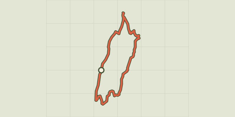
From a vantage point overlooking the small valley of Chambron, discover this themed path marked by animal husbandry. “You feel rather isolated from the world on this itinerary. Yet the busy valley of Chambran is just below you. But there you are, under the high walls of the Montbrison massif. You feel so high above the world, and so small under these fortresses of limestone.” Marie-Geneviève Nicolas, park ranger at the Parc National des Écrins From Chambron, follow the track leading towards the valley bottom. - Turn right to start the ascent. - Make a there-and-back detour to admire the view down over the Cabane des Fons standing in the valley. Retrace your steps and then follow signs for the cabin ("Cabane"). Take the path on the right leading towards the Cabane du Clot de la Selle. The route runs close to the mountain hut, and then rises above it up an escarpment. The path then runs along the hillside; it leads across a vast scree of limestone blocks and carries on level through the alpine pasture before dropping down to the recent Cabane des Prés du Rocher. - Take the access track to the mountain hut, to join the road. Follow it for a few hundred metres until you reach Chambran.
Difficulty
Official rating: moderate, by Parc national des Écrins.
Before you go
- Some sections of the circuit are vertiginous and pass through rocky screes on the mountainside. Depending on their walking ability, young children may have difficulties crossing them.
- Binoculars are recommended for observing the fauna
- Check weather conditions before setting off.
- Rescue services contact details: Secours Montagne (Mountain Rescue): +33 (0)4 92 22 22 22 or 112
- Show consideration for the work of farmers, livestock keepers and owners
- Close all gates behind you
- Take your litter home
- Do not take shortcuts across pastureland
Getting there
Start: Chambran, Vallouise-Pelvoux (05).
Sources
- Track: Parc national des Écrins, Licence Ouverte 2.0, Licence Ouverte 2.0 (Etalab) (destination.ecrins-parcnational.fr/trek/959356-SENTIER-THEMATIQUE-%3A-Sur-les-traces-des-bergers). Time estimated by GPX Path with the Mac app rule, breaks not included.
- Official elevation gain: 462 m, Parc national des Écrins
Nearby tracks

 © OpenStreetMap, SRTM · OpenTopoMap (CC-BY-SA)
Eychauda Lake
Écrins, Vallouise-Pelvoux (05) · Out and backOfficial rating by Parc national des Écrins © OpenStreetMap, SRTM · OpenTopoMap (CC-BY-SA)
La cabane de Chouvet
Écrins, Vallouise-Pelvoux (05) · Out and backOfficial rating by Parc national des Écrins © OpenStreetMap, SRTM · OpenTopoMap (CC-BY-SA)
The Béal Neuf: from mountain stream to canal
Écrins, Vallouise-Pelvoux (05) · Out and backOfficial rating by Parc national des Écrins © OpenStreetMap, SRTM · OpenTopoMap (CC-BY-SA)
The Ailefroide loop
Écrins, Vallouise-Pelvoux (05) · LoopOfficial rating by Parc national des Écrins © OpenStreetMap, SRTM · OpenTopoMap (CC-BY-SA)
The Béal Neuf canal: canals and men, an iconic history
Écrins, Vallouise-Pelvoux (05) · Out and backOfficial rating by Parc national des Écrins © OpenStreetMap, SRTM · OpenTopoMap (CC-BY-SA)
Tour des refuges en Vallouise en 5 jours
Écrins, Vallouise-Pelvoux (05) · Point to pointOfficial rating by Parc national des Écrins