
From one bank of the Durance to the other

Key facts
- Distance
- 29.8 km
- Ascent
- +475 m
- Descent
- −382 m
- Estimated time
- 1 hr 45
- road cycling
- Difficulty
- Easy
- official rating
- Route
- Loop
- back to the start
Profile and gradient
- under 10%
- 10 to 20%
- over 20%
Gradient along the route: 29.8 km under 10%. Elevation from 785 m to 988 m over 29.8 km.
Description
From one bank of the Durance to the other, this itinerary takes you on a tour of villages and hamlets. For the curious, they are home to a whole host of museums! You'll never be bored on this route! Views, some lovely roads and local heritage are all on the menu as you pass through the villages and hamlets neighbouring the Durance. On each stage, you'll be charmed by these typical places tucked away in the Durance valley. - From Embrun station, head down towards the town centre and, at the roundabout, go left towards Briançon. Continue straight on, passing the fire station and reaching a bend just before a large roundabout (shortly after passing under a railway bridge). - Now head towards Châteauroux-les-Alpes along the D994h. Then cross this municipality and continue straight on until you reach the N94. - Drive onto this lane, which can be fairly busy at times and, with caution, ride correctly on the right. After 4 km, enter Saint-Clément-sur-Durance. Cross the village and, after crossing the bridge over the Durance, turn right towards Saint-André d'Embrun. - This is followed by some gentle ascents and descents along the banks of the Durance, taking in the beautiful views. You will also pass through several hamlets before reaching the foot of Saint-André d'Embrun. - Continue straight on, staying on the D994d, towards Embrun. Continue for 4 km and, at the STOP sign, turn right and cross the Durance on a metal bridge (wooden floor) towards the citadel of Embrun. - Finally, take the last ascent back to the starting point.
Difficulty
Official rating: easy, by Parc national des Écrins.
Getting there
Start: Parking gare d’Embrun, Embrun (05).
Sources
- Track: Parc national des Écrins, Licence Ouverte 2.0, Licence Ouverte 2.0 (Etalab) (destination.ecrins-parcnational.fr/trek/996010-D-une-rive-a-l-autre-de-la-Durance). Time estimated by GPX Path with the Mac app rule, breaks not included.
- Official elevation gain: 475 m, Parc national des Écrins
Nearby tracks

 © OpenStreetMap, SRTM · OpenTopoMap (CC-BY-SA)
The balconies of Embrun
Écrins, Embrun (05) · LoopOfficial rating by Parc national des Écrins © OpenStreetMap, SRTM · OpenTopoMap (CC-BY-SA)
Right bank Serre-Ponçon
Écrins, Embrun (05) · LoopOfficial rating by Parc national des Écrins © OpenStreetMap, SRTM · OpenTopoMap (CC-BY-SA)
Around Lake Serre-Ponçon
Écrins, Embrun (05) · LoopOfficial rating by Parc national des Écrins © OpenStreetMap, SRTM · OpenTopoMap (CC-BY-SA)
Montée de la Draye
Écrins, Crots (05) · Point to pointOfficial rating by Parc national des Écrins © OpenStreetMap, SRTM · OpenTopoMap (CC-BY-SA)
Les Trois Rivières
Écrins, Savines-le-Lac (05) · LoopOfficial rating by Parc national des Écrins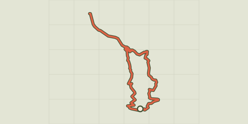 © OpenStreetMap, SRTM · OpenTopoMap (CC-BY-SA)
At the gateway to the Ecrins
Écrins, Savines-le-Lac (05) · LoopOfficial rating by Parc national des Écrins