
From the Drouvet summit to Prapic

Key facts
- Distance
- 14.1 km
- Ascent
- +241 m
- Descent
- −1,232 m
- Estimated time
- 4 hr 15
- hiking
- Difficulty
- Moderate
- official rating
- Route
- Point to point
- ends elsewhere
Profile and gradient
- under 10%
- 10 to 20%
- over 20%
Gradient along the route: 7.4 km under 10%, 5.3 km at 10 to 20% and 1.4 km over 20%. Elevation from 1,542 m to 2,678 m over 14.1 km.
Description
This crossing progresses in a grandiose panorama of the high Champsaur, between lakes glittering in the sun and dark "gates of heaven". The alternating landscapes make this walk particularly enchanting and as often, the descent is made amongst summits and lakes, dales and pastures. The colour of the water contrasts with the more austere, wild schistose slopes of the valley that is nicknamed 'Heaven's gate'. Near to Prapic, the landscape opens onto vast pastures. The start point is the Drouvet summit. To get there, take the “Telemix” next to the Orcières 1850 Tourist Information centre. At the top, head towards "Lac des Estaris" to the right. Continue on the footpath past the Roc des Hommes and cross a zone of scree. Go along the right of the Lac des Staris. When you get to the Estaris mountain refuge, take the path on the right towards the Lacs Jumeaux. After skirting the lake nearest to the footpath to reach the outflow (point where water runs from the lake), head eastwards (left). You will come close to the Lac des Pisses. Continue until you reach the Pisses mountain hut. In the bottom of the valley, the footpath joins up with the Tombeau du Poète one to the left, towards Prapic. To return to Orcières, take the shuttle, which must be reserved in advance and without fail at Orcières' Tourist Information.
Difficulty
Official rating: moderate, by Parc national des Écrins.
Before you go
- Avoid this route in bad weather. Certain slopes can be slippery. The indicated time does not take into account time on the shuttle or the telemix.
Getting there
Start: Sommet du Drouvet, Orcières, Orcières (05).
Sources
- Track: Parc national des Écrins, Licence Ouverte 2.0, Licence Ouverte 2.0 (Etalab) (destination.ecrins-parcnational.fr/trek/904203-Du-sommet-Drouvet-a-Prapic). Time estimated by GPX Path with the Mac app rule, breaks not included.
- Official elevation gain: 241 m, Parc national des Écrins
Nearby tracks

 © OpenStreetMap, SRTM · OpenTopoMap (CC-BY-SA)
Orcières Lakes
Écrins, Orcières (05) · LoopOfficial rating by Parc national des Écrins © OpenStreetMap, SRTM · OpenTopoMap (CC-BY-SA)
Col des Terres Blanches from Prapic
Écrins, Orcières (05) · Out and backOfficial rating by Parc national des Écrins © OpenStreetMap, SRTM · OpenTopoMap (CC-BY-SA)
Lac des Pisses
Écrins, Orcières (05) · Out and backOfficial rating by Parc national des Écrins © OpenStreetMap, SRTM · OpenTopoMap (CC-BY-SA)
The Saut du Laire
Écrins, Orcières (05) · Out and backOfficial rating by Parc national des Écrins © OpenStreetMap, SRTM · OpenTopoMap (CC-BY-SA)
The Poet’s tomb
Écrins, Orcières (05) · Out and backOfficial rating by Parc national des Écrins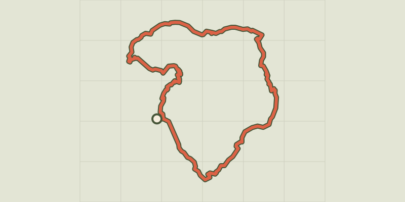 © OpenStreetMap, SRTM · OpenTopoMap (CC-BY-SA)
Tour du Grand Pinier
Écrins, Orcières (05) · Point to pointOfficial rating by Parc national des Écrins