
The Saut du Laire

Key facts
- Distance
- 8.9 km
- Ascent
- +412 m
- Descent
- −367 m
- Estimated time
- 2 hr 45
- hiking
- Difficulty
- Easy
- official rating
- Route
- Out and back
- same way back
Profile and gradient
- under 10%
- 10 to 20%
- over 20%
Gradient along the route: 5.3 km under 10%, 3.1 km at 10 to 20% and 0.4 km over 20%. Elevation from 1,533 m to 1,883 m over 8.9 km.
Description
An easy hike in the open Drac Noir valley. The grassy slopes, the hayfields, and the pastures are the marmots’ favourite places. "On this warm June evening, I cross the Charnières plateau. I notice a strange shape in the middle of the prairie that is most full of flowers. No, it is not a marmot. I approach, hidden by the alders hanging over the Drac. A perfect lotus position, in the simplest of clothing but respecting decency and decorum, thanks to square of material, a man is meditating. A childlike smile lights up his face." Daniel Briotet, park ranger in Champsaur From the car park, at the entrance to Prapic hamlet, go up in the direction of the hostels. At the fork (signpost), go right. The track follows the right bank of the Drac going up to the Charnières plateau. At the oratory, turn left to cross the plateau. Climb the bends which lead to the Saulce chapel. Stay on the right bank to reach the Saut du Laire walkway which will give you access to the eponymous valley, which is the goal of this hike. Return using the same itinerary in the opposite direction.
Difficulty
Official rating: easy, by Parc national des Écrins.
Before you go
- This itinerary which is suitable for children is best if you avoid setting off too late. Depending on meteorological conditions, vigilance is necessary when crossing the steep slopes under the Saulce chapel.
Getting there
Start: Prapic, Orcières (05).
Sources
- Track: Parc national des Écrins, Licence Ouverte 2.0, Licence Ouverte 2.0 (Etalab) (destination.ecrins-parcnational.fr/trek/904199-Le-Saut-du-Laire). Time estimated by GPX Path with the Mac app rule, breaks not included.
- Official elevation gain: 412 m, Parc national des Écrins
Nearby tracks

 © OpenStreetMap, SRTM · OpenTopoMap (CC-BY-SA)
Lac des Pisses
Écrins, Orcières (05) · Out and backOfficial rating by Parc national des Écrins © OpenStreetMap, SRTM · OpenTopoMap (CC-BY-SA)
The Poet’s tomb
Écrins, Orcières (05) · Out and backOfficial rating by Parc national des Écrins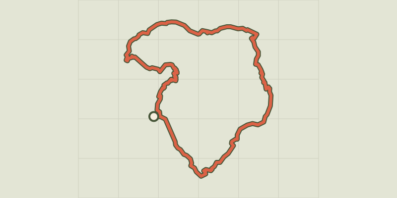 © OpenStreetMap, SRTM · OpenTopoMap (CC-BY-SA)
Tour du Grand Pinier
Écrins, Orcières (05) · Point to pointOfficial rating by Parc national des Écrins © OpenStreetMap, SRTM · OpenTopoMap (CC-BY-SA)
Le Saut du Laire via le Basset
Écrins, Orcières (05) · LoopOfficial rating by Parc national des Écrins © OpenStreetMap, SRTM · OpenTopoMap (CC-BY-SA)
Col des Terres Blanches from Prapic
Écrins, Orcières (05) · Out and backOfficial rating by Parc national des Écrins © OpenStreetMap, SRTM · OpenTopoMap (CC-BY-SA)
From the Drouvet summit to Prapic
Écrins, Orcières (05) · Point to pointOfficial rating by Parc national des Écrins